3DF Zephyr is a comprehensive photogrammetry software developed by 3DFLOW, first released in January 2014. It automates 3D model reconstruction from photos and supports various camera sensors, drones, and laser scanners. With features like true orthophotos, multi-GPU support, and CAD drawing capabilities, it caters to a wide range of users from hobbyists to professionals.
Those exploring alternatives to 3DF Zephyr may consider Meshroom, Metashape, Reality Capture, Regard3D, Meshilicious, COLMAP, PolyCam, Pix4D, Recap, PhotoScan, WebODM, ReCap Pro, Agisoft, Reality Scan, and ContextCapture.
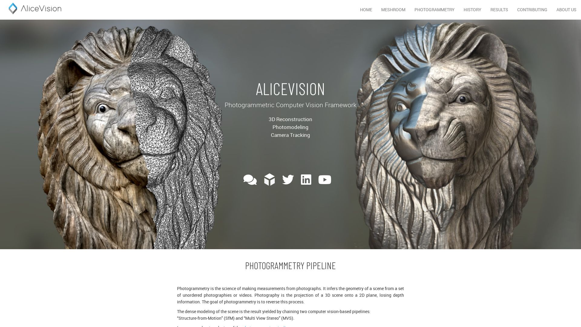
Meshroom
Immerse yourself in the digital artistry of Meshroom, a gift by academia and industry to the world of 3D Graphics & Modeling. This free, open-source 3D Reconstruction Software pivots on the robust bedrock of the AliceVision framework, bringing to life an intriguing dance of 3D Reconstruction and Camera Tracking algorithms.
Meshroom Top|Best Features
Integrated with popular tools such as Blender, Maya, and Houdini plugins, supplemented by the CCTag library and PopSIFT.
Adaptable to multiple workflows, sustaining itself in render farm systems and customized studio pipeline.
Offers Augmented and Live Reconstruction modes to enhance real-life perception and interaction.
Proffers real-time 3D capture using Microsoft Kinect or Asus’s Xtion Pro Live.
Caters to a wide array of operating systems, including Windows and OSX/Linux.
Photogrammetry protocols
Extended Photogrammetry
Ideal for textured, rough items, with advice for coating glossy or transparent objects for better results.
The normal workflow of image import, project saving, computation commencement and halt, preview viewing and need adjustments are all facilitated in the process.
Meshroom Limitations|Disadvantanges|Downsides
Video inputs yield lower quality results compared to still images.
Transparent or glossy objects may require additional coating for best use.
Meshroom Pricing
This technological masterpiece goes against the current; it lets anyone play with powers of Augmented Reality for no cost. Yes, this truly open-source software asks for nothing but a citation if used for publication.
Meshroom Use Cases
Medicine
Meshroom breathes innovation into medical practices by enabling large-scale projects such as the CT scanning of a human body.
Robotics
In the realm of Robotics, it acts as a catalyst, facilitating real-time 3D capture and aiding in the creation of interactive models.
Entertainment
With its footprints in gaming and movies, Meshroom reinvents storytelling by integrating unique 3D modeling techniques and photogrammetry.
Metashape
From the creators at Agisoft comes Metashape, an innovatively designed photogrammetry application that transmutes simple images into information-rich 2D or 3D models. With a user-friendly interface facilitating usage and a spectrum of functions for different domains like GIS, VFX production, and cultural heritage documentation, Metashape places itself confidently on the 3D modeling stage.
Metashape Top Features
Operates on multiple operating systems like Windows, Linux, MacOS.
A clean user interface with a trendy dark mode option.
Option to build 3D models from depth maps, presenting comprehensive visualization.
A wide selection of export formats, including glTF, X3D, .obj, .pdf, and .stl.
Offers cloud dataset processing with cloud computing time directly purchasable from the software.
Features like “Align Chunks” and “Height field” allow for complex modeling capabilities.
Feature
Benefit
Auto mesh refinement
Ensures model quality improves during processing
Single Camera mode
Offers traditional 3D modeling
Inbuilt cleaning and crop tools
Enable efficient model creation with select and crop options
Metashape Limitations
There are times when processing can be on the slower side, with high accuracy processing taking 9 to 19+ hours.
Markers are recommended for image alignment, necessitating extra steps.
Extra step needed to reduce meshing noise by using Mesh from depth maps.
Metashape Pricing
Metashape comes with a variety of pricing options. It offers a standard edition for $179 with a comprehensive set of tools. The professional edition, enriched with additional features, comes at a $3499 tag. Educational discounts are also available, starting at $59.
Metashape Use Cases
Use case 1 – GIS
Metashape, with its advanced modeling capabilities, can be a great asset for GIS professionals. Its precise alignment and complex modeling features facilitate thoughtful spatial decision making.
Use case 2 – Cultural Heritage Documentation
Cultural heritage objects can be preserved and documented in the form of high-quality, detailed 3D models using Metashape. Its excellent texture building helps add a realistic overlay to the 3D models.
Use case 3 -VFX Production
The application’s geometric and color fidelity makes it an excellent tool in the VFX industry. Its versatile texture mapping options and affordable pricing make it a strong candidate for 3D modeling needs.
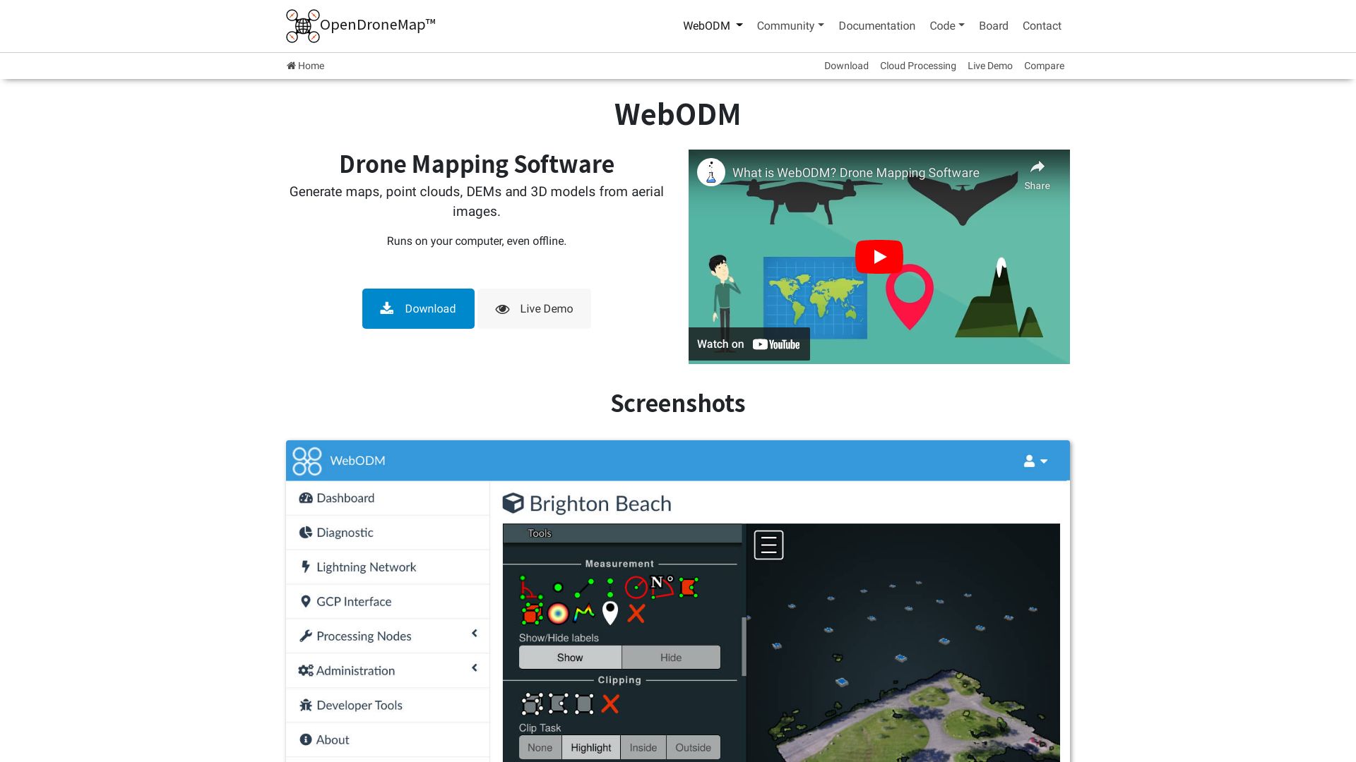
WebODM
An open-source photogrammetry toolkit, WebODM is a creation of OpenDroneMap that is designed to process aerial imagery into maps and 3D models. Launched in 2013, it is hosted on GitHub and runs on diverse platforms such as Windows, Linux, and MacOS.
WebODM Top Features
Rich Language Support: This platform supports numerous programming languages including Python, C++, JavaScript, Go, and Shell.
Mapillary and Spotscale Integration: WebODM has been redesigned with Mapillary and Spotscale using Perl, Ruby, and Python.
Parallel Processing: Integration with NodeODM allows for simultaneous data processing.
In-Built Server: The platform comes with an in-built server in Django and can run gunicorn.
Feature
Description
Logo Design
The iconic logo of WebODM was designed by the renowned artist, Catarino.
User-Friendly Interface
The 2016 Humanitarian Innovation Fund grant was geared towards making OpenDroneMap more user-friendly.
MicMac Processing Engine
WebODM allows the use of MicMac as a processing engine via NodeMICMAC.
WebODM Limitations
The toolkit’s original feature was more of a jest, predicting the geo’s future in 2014.
Initially, it required use of BundlerTools for photogrammetry processing.
WebODM Pricing
WebODM is available for free as it is an open-source platform hosted on GitHub. Its incredibly generous offering is a welcome advantage for enthusiasts and professionals alike.
WebODM Use Cases
Use case 1
Mapping Organizations: With its features like processing red-edge camera images, WebODM serves as a handy tool for organizations like the American Red Cross involved in mapping tasks.
Use case 2
Research Institutions: Institutions involved in research surrounding carbon sequestration mapping find WebODM an invaluable tool.
Use case 3
Education Sector: Educators and students in tech-related fields can use WebODM for learning, practice and project purposes, thanks to its open-source nature.
Zephyr
Developed by 3Dflow, Zephyr is a comprehensive photogrammetry solution in the realm of 3D graphics and modeling. This all-in-one software suite provides 3D reconstruction capabilities using pictures and videos harnessed from various sensors and acquisition techniques.
Zephyr Top Features
All-inclusive software for 3D reconstructions contacting photos/videos from different sensors and techniques.
Offers a compatible solution for diverse cameras, lenses, and focal lengths.
Empowers the users with laser scan data import, registration, and analysis.
Provides complete support for Linux through Wine assistance.
Features in-house software technology, making it non-reliant on third-party computer vision libraries.
Feature
Benefit
Multi-imagery Support
Supports photos, videos, spherical pictures, multispectral, thermal, and RGB imagery
Academic References
A software solution that’s academically traceable and cited in multiple papers
Community Support
Aims to continuously grow and improve with help from a robust online community
Zephyr Limitations
The ‘free’ version has a limitation of 50 photos and supports only 1 NVIDIA GPU.
Exhaustive features like advanced editing tools, laser scan support, and GIS, CAD & Survey tools are only available with the ‘Pro’ version.
Upcoming improvements such as an enhanced UI, better texture packing, and Detail Enhancement are not yet in place.
Zephyr Pricing
Zephyr is accessible with a one-time payment of €149. There is also a ‘free’ version available with limited features. Alternate plans include a ‘Lite’ version at €199+VAT, and a ‘Pro’ version that comes with exhaustive features for €4200+VAT. A subscription model is also available at €250+VAT/month.
Zephyr Use Cases
Use case 1: 3D Model Reconstruction
Zephyr is ideal for creating 3D reconstructions from photos or videos for researchers, architects, or game designers.
Use case 2: Data Analysis
With its laser scan data import, registration, and analysis, Zephyr is perfect for individuals or organizations needing to interpret elaborative datasets.
Use case 3: Multispectral Imagery
For experts involved in agriculture, forestry, or land use planning, Zephyr’s ability to process multispectral imagery can prove invaluable.
ReCap Pro
Want to redefine your path from the real world to the digital? When the physical and virtual realms collide, creating an exquisite blend of precision and innovation, ReCap Pro, an esteemed Autodesk product since 1982, is your go-to source, sculpting accurate 3D models from mere photographs and laser scans.
ReCap Pro Stellar Features
Propels team collaboration with reality-oriented design.
Utilizes ReCap Photo service to transmute drone imagery into vibrant 3D depictions of objects and site conditions.
Aids in generation of point clouds, meshes, and ortho photos.
Simplifies survey process, optimizes compatibility with various mobile devices.
Allows import of GoPro images, supports GPS tagging for precise geolocation and scaling.
Feature
Value
Software Development Kit (SDK)
Facilitates integration of reality data into Autodesk design and construction tools.
Side-by-side comparison
Compare RealView and overhead map view, toggle between 2D and 3D easily.
Highly accurate photo reconstruction
Employs high-precision GPS technology for unparalleled accuracy, sans ground control points.
ReCap Pro Limitations
Price may be a barrier for small businesses or individuals.
Learning curve for non-technical users.
ReCap Pro Pricing
Dive into the realm of 3D with ReCap Pro, without burning a hole in your pocket. Starting at a tempting $26 per month, you start a free trial before making any commitment. Access every feature, unrestricted, with licenses available on a monthly, yearly or 3-yearly plan.
ReCap Pro Use Cases
Use case 1: Team Collaboration
With ReCap Pro, collaborate with your team from anywhere. Create, view, and around your 3D models on your iPad Pro, in the field or from the comfort of your office.
Use case 2: Construction and Engineering Projects
ReCap Pro enables you to construct accurate, complex 3D models based on reality capture, thus simplifying otherwise time-consuming survey processes, enhancing your construction or engineering projects.
Use case 3: Advanced Processing with Leica BLK360 Laser Scanner
Upgrade your 3D modelling with advanced processing enabled via compatibility with the Leica BLK360 laser scanner, thus pushing the boundaries of your creativity.
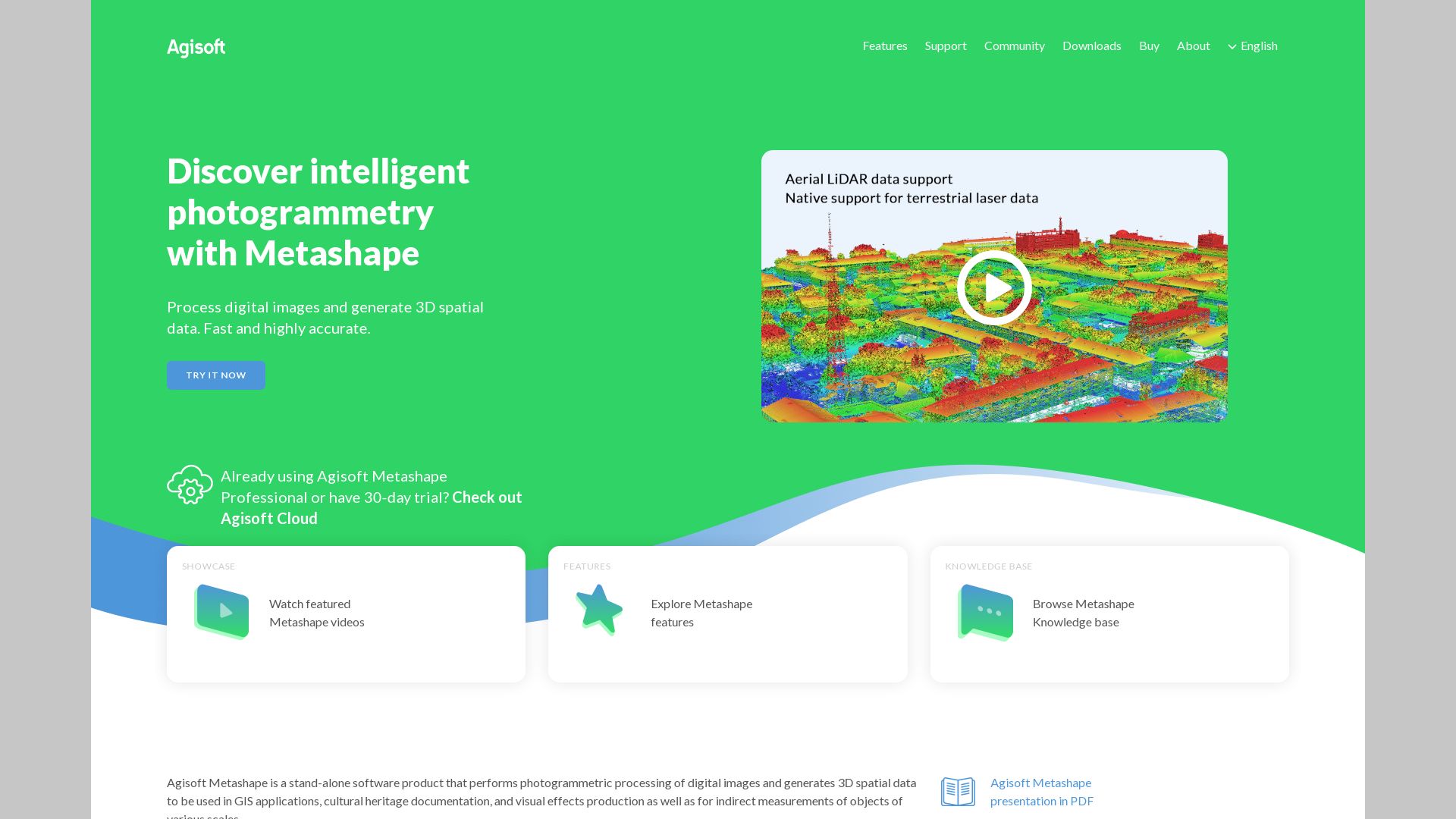
Agisoft
Emerging as a global ambassador in 3D graphics and modeling, Agisoft paves the path for innovative and user-friendly solutions. Fueling the global tech unity, Agisoft’s flagship software, Metashape, originally dubbed ‘Photoscan,’ converges the worlds of AR/VR, gaming and immersive tech, and 3D printing, leveraging the power of photogrammetry.
Agisoft Top Features
Competitive pricing with availability of educational discounts and perpetual licenses.
Freedom to use unlimited photos and GPUs, enhancing processing and modeling power.
Constantly progressing, with processing speed that has more than doubled over time.
High-quality, detailed models enabled by diverse tools including mesh refining and creation from depth maps.
Direct import of video content with decomposing into individual frames.
Enhancement in image purity hubbed by potent masking tools for meticulous background removal.
Robust Functionality
No limitations on number of photos or GPUs used for rendering.
Global Appeal
Lower costs and unrestricted photo usage make it an excellent alternative.
EdTech Integration
Highly recognized within the educational tech community for enabling high-quality 3D model demonstrations.
Agisoft Limitations
Performance can be affected by using integrated GPUs, requiring user discretion.
The range of tools and features may require a learning curve for new users.
Agisoft Pricing
Agisoft emphasizes on affordability and value-for-money. The standard edition of Metashape is priced at $179 for a perpetual license, with a significant educational discount which takes it down to $59.
Agisoft Use Cases
Use Case 1: Reality Capture
Agisoft’s Metashape, breaching the limitations of photo numbers, presents a cost-effective choice for reality capture, fostering global tech unity.
Use Case 2: EdTech
The software enjoys substantial regard within EdTech communities globally, with models being demonstrated on Sketchfab.
Use Case 3: Cultural Heritage Documentation
Metashape‘s functionalities cater to diverse applications including cultural heritage documentation, creating a digital bridge across cultural nuances.
Reality Scan
Revolutionize your 3D gameplay creativity with Reality Scan, a free to download app by Epic Games. Specially designed for digital pioneers, it effortlessly scans real-life objects and turns them into 3D models, which can add unmatched realism to your gaming or project needs.
Reality Scan Best Features
Facilitates quick 3D model generation from pictures taken at various angles.
Compatibly interfaces with Sketchfab, a renowned 3D model sharing platform, to allow preview of scans before exporting.
Generously offers a free year of Sketchfab Pro for users, bringing new dimensions of creativity at your fingertips.
An Android version is in the making, signaling an even wider user accessibility starting 2023.
Enhanced Project Management
Equipped with a Project Library for better planning and tracking of 3D modeling projects.
Community Feedback and Sharing
Features a feedback system and a dedicated hashtag #realityscan, fueling a socially collaborative AR environment.
Underpinning Technology
Employs the same technology as MetaHuman Creator – a mainstay in over half the next-gen games. You’re tapping into the cutting-edge of gaming tech.
Reality Scan Limitations
However, like any true innovator, Reality Scan has its learning curve and challenges.
The technology it uses, Photogrammetry, can be sensitive to external conditions like lighting and environmental factors, which could affect your overall 3D model quality.
3D scans can be a touch inaccurate, especially while capturing fine details.
Struggles with reflective surfaces could pose a limitation in creating realistic scans.
Reality Scan Pricing
Here’s the magic, Reality Scan is free! Yes, that’s right – free to download, ensuring the power of 3D modeling remains accessible and affordable.
Reality Scan Use Cases
Use case 1 – Gaming
If you’re a game developer or a designer, Reality Scan can help you create life-like 3D game objects without having to build them from scratch.
Use case 2 – Designers
All set to leave your mark in the world of 3D design? Reality Scan can make your design projects more realistic and engaging with its easy-to-use scanning and modeling features.
Use case 3 – Architectural Visualization
In the realm of architectural visualization, Reality Scan can be your secret tool to create lifelike 3D models of buildings, enhancing client presentations and blueprints.
ContextCapture
A product by Bentley Systems, ContextCapture is highly powerful software capable of creating precise 3D models using photos and LiDAR point clouds. This dynamic tool is a part of the Reality Modeling WorkSuite and is widely used in various infrastructure projects.
ContextCapture Top Features
Produces high-quality 3D meshes for diverse infrastructure projects.
Fastest processing available today, using machine-learning for accurate data interpretation.
Automates 3D mesh generation workflow integrating with GIS formats in any workflow.
Enables online streaming of multi-resolution reality meshes, improving accessibility and collaboration.
Features such as level-of-detail generation, adaptive tiling, surface and volume measurement enhance the detailing in models.
Intuitive user interface facilitating a smooth, hassle-free modeling experience.
Unique Feature
Description
iTwin Capture Modeler and iTwin Capture Modeler Center
Two versions that cater to different scale of projects, enabling processing of projects as large as entire cities
Integrated with other Bentley software
Ensures seamless workflow and interoperability across different software platforms, enhancing productivity.
Cloud-based service
Leverages parallel processing, GPU computing, and multi-core computing for faster production.
ContextCapture Limitations
While it handles large-scale datasets, terabytes of input imagery could be a challenge.
Despite concerted efforts to create an intuitive user interface, first-time users might face a steep learning curve.
Use Cases for ContextCapture
Use Case 1: Infrastructure Development and Urban planning
For extensive infrastructure projects and urban planning, ContextCapture facilitates the generation of incredibly accurate 3D models, revolutionizing the way cities are designed and build.
Use Case 2: Cultural Heritage and Tourism
By preserving and digitizing cultural heritage sites in 3D, ContextCapture significantly contributes to the tourism industry.
Use Case 3: Asset Management and Facility Operations
ContextCapture is an efficient tool for visualizing and managing industrial facilities, leveraging 3D modeling for more precise asset management.
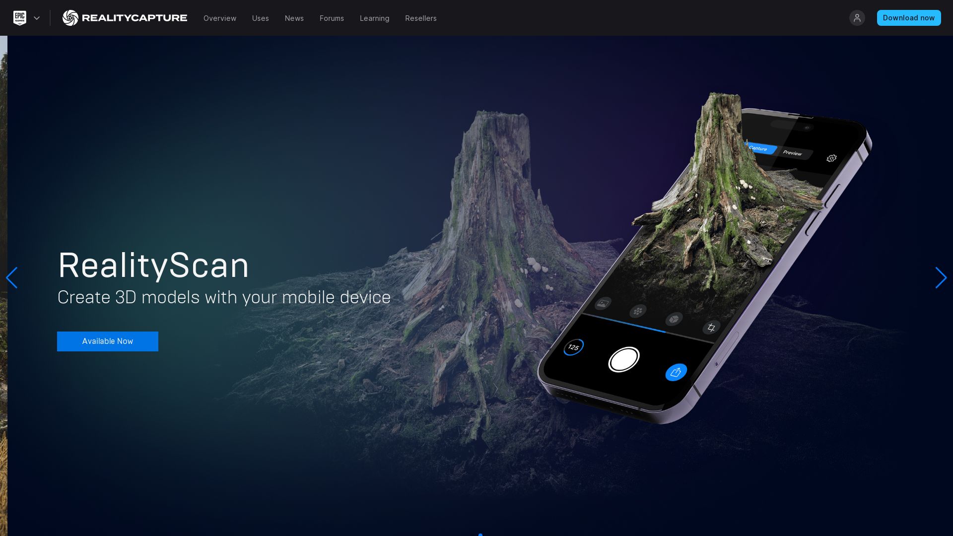
Reality Capture
Developed by Capturing Reality, a Slovak company made its mark on the tech world with the incredible RealityCapture (RC). Launched in 2016, RC sets a high bar in 3D modeling with its diverse applications that span cultural heritage, gaming, surveying, VFX, VR, and more.
Reality Capture Top Features
Image registration: RC skillfully aligns images automatically for the best 3D outcome.
Unmatched Performance: Its optimized design ensures the processing time doubles only when the input doubles, ideal for managing extensive projects.
Out-of-core meshing, coloring and texturing: This feature provides significant performance improvement.
SDK and Command line operation: Promises greater compatibility and control over the process.
Feature
Advantage
Georeferencing and Measurement
Integrates geographic data for accurate mapping and objective analysis.
Software UI
Reminiscent of video editing software, making it user-friendly and familiar.
Exports
Direct exports to video, still image, or 3D sharing platforms like SketchFab.
Reality Capture Downsides
Limited Nvidia graphics card support, which could restrict users with particular hardware settings.
Processing results are presented as point clouds that might require further enhancement for precise results on hard surfaces.
Reality Capture Pricing
RealityCapture offers a flexible pricing model based on usage. For every 3,500 credits, users are charged just $10, allowing businesses to scale as per their photogrammetry needs. For users requiring high configurations, additional licenses can be procured.
Reality Capture Use Cases
Use case 1 – Gaming
The gaming industry can bring their creations to life, thanks to RealityCapture’s ability to create detailed, textured 3D models. Game developer DICE, for example, had significantly benefited from integrating RealityCapture into their workflow.
Use Case 2 – Architecture
Architects can use RealityCapture’s texturing and georeferencing features to visualize potential settings for buildings and houses, enabling more effective design and client communication.
Use Case 3 – VR
By weaving detailed 3D models into virtual reality settings, RealityCapture allows VR developers to create deeply immersive and realistic environments.
Regard3D
Welcome to the world of Regard3D, an open-source structure-from-motion application that elevates 3D models creation. Using multi-angle photos and a range of functionalities, it is a top-tier tool in the realm of 3D Graphics & Modeling.
Regard3D Top Features
Excellent ease of use, rating 4/5
Robust functionalities including point cloud and triangulation
Supports import of JPEG, PNG, TIFF, and RAW files
Exports 3D models in various formats including OBJ and PLY
Voxel and point pattern recognition within advanced features
Unique Features
Description
Automatic Image Alignment
Enables automatic alignment of images, greatly streamlining your workflow.
Time-lapse Sequences
Create stunning animations and time-lapse sequences of models.
Result Manipulation
Allows for the injection of small structure for generating finer details.
Regard3D Downsides
Limited community support
Lack of contact options on website
Windows installation straightforward, but Linux binaries are absent
Requirements include 64-bit OS and OpenGL-enabled graphics card
Regard3D Pricing
Everything about Regard3D is developed with the users in mind, including its pricing. As an open-source application, this robust 3D modeling tool is available at no cost to its users.
Regard3D Use Cases
Use case 1 – Projects like building in MinGW
Unleash your creativity with Regard3D for MinGW projects. The software’s advanced features, 3D modeling capabilities, and result manipulation tools make it an unbeatable choice.
Use case 2 – Digitization projects
Riding the wave of digital revolution? Regard3D is your ally for converting physical objects into digital 3D models using photos from different angles.
Use case 3 – Academic research
Empower your research using Regard3D’s data synthesis. From accurate 3D models to point cloud and triangulation, revolutionize how you approach data.
Meshilicious
Enter the realm of SFF cases with Meshilicious, a masterstroke in engineering from Ssupd (Sunny Side Up Design), a joint collaboration between Lian Li and NCASE.
Meshilicious Top Features
Compact form factor with a capacity of 14.6 litres.
Setting the benchmark with large 4-slot GPUs compatibility up to 366mm in length.
Preinstalled with an ultra-efficient 240MM Water Cooler.
Ultimate performance guaranteed with up to 64GB of DDR4 Memory.
Dimension
245 x 166.4 x 360mm (L x W x H)
CPU options
i7-12700k or i5-13600k
Storage design
Dual-storage using M.2 SSD and a 2.5inch HDD or SSD in combination
Meshilicious Limitations
Potential for custom modification is there, but repositioning components like radiator and PSU may be tricky.
Meshilicious Use Cases
Use case 1 – Gaming enthusiasts
Those who crave power and performance in their gaming setup without compromising on space will find Meshilicious to be a perfect choice thanks to its 4-slot GPUs compatibility, capable of housing the RTX 3090 10GB graphics card.
Use case 2 – Power users
For users requiring heavy-duty performance for applications like 3D modeling or server workloads, Meshilicious offers up to 64GB of DDR4 Memory, making it an ideal machine.
Use case 3 – Custom PC builders
The design lovers and custom PC builders who value aesthetics as much as performance, Meshilicious offers flexibility and potential for customization with distinctive RGB illumination and potential mainboard modifications.
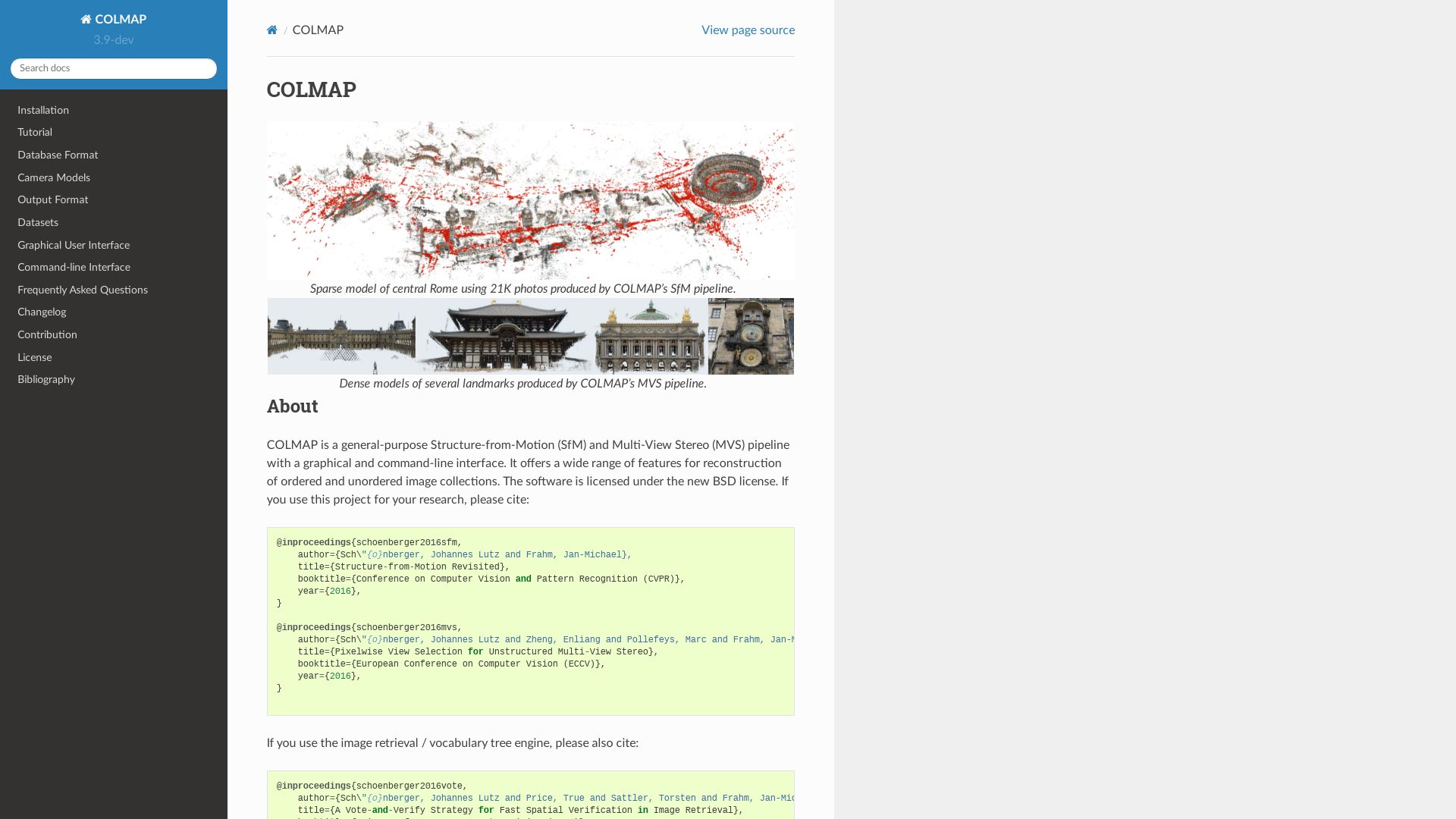
COLMAP
Say hello to COLMAP, a top-tier alternative to VisualSFM and CMPMVS, providing end-to-end image-based 3D reconstructions with a user-friendly interface across all major platforms: Linux, Mac, and Windows.
COLMAP Top Features
It excels at preserving detail and performs better with higher resolution images.
Their color mesh reconstruction process is faster than CMPMVS.
COLMAP is proficient at smoothing featureless surfaces.
It is licensed under the GNU General Public License, ensuring full source code availability and collaborative improvements.
Allows for both graphical and command-line interface interactions.
Additional Features
Benefits
Applies colors to each vertex during meshing
Provides detailed color output to your 3D models
Runs effectively on CUDA compatible graphics card
Ensures smooth and fast functioning for high-quality outputs
Allows for image undistortion and dense reconstruction
Enhances accuracy and quality of the 3D models
COLMAP Downsides
Primarily caters to users with some coding experience due to its command-line interface offering.
Learning curve might be steep for beginners.
COLMAP Pricing
COLMAP is an open-source platform making it entirely free for users. However, contributions and enhancements from the community are greatly appreciated and encouraged.
COLMAP Use Cases
Use Case 1: High-Resolution Imaging
If you’re dealing with high-resolution images and looking for software capable of preserving detailed features,COLMAP is your go-to solution.
Use Case 2: Fast 3D Reconstruction
Need for speed? COLMAP provides faster color mesh reconstruction compared to its counterparts.
Use Case 3: Cross-Platform Compatibility
For those looking for a tool that offers compatibility across Linux, Mac, and Windows platforms, COLMAP ticks all the boxes.
PolyCam
A cutting-edge 3D scanning application, PolyCam comes with an extensive suite of features for iOS, Android, and web users. Crafted by PolyCam Inc., this tool leverages the power of LiDAR scanning, photogrammetry, and 360-degree panorama capture for an immersive experience in the world of Augmented Reality (AR).
PolyCam Top Features
State-of-the-art LiDAR scanning and photo mode for detailed, accurate 3D captures.
AI-enhanced Room Mode feature for generating interactive floor plans and furniture placement.
360-degree panorama capture system powered by generative AI model Stability AI’s Stable Diffusion.
Video making feature, offering various modes like Orbit, Path, Custom for enriched representations.
Apple’s Object Capture technology for efficient photogrammetry processing.
Supports precision measurement with inch-level accuracy.
Collaborative editing & sharing feature
Community platform for exploring models
Drone mapping support
Advanced export formats in Pro edition
3D models compatible with Blender, Cinema4D, Unity, Unreal
Room Mode & Teams feature for enhanced user convenience
PolyCam Downsides
Captures can appear black on mobile web browsers if texture larger than 4K.
Android version lacks Photo Mode, implementation expected soon
LiDAR capability currently restricted to iPhone 12 Pro and higher models, and 2020+ iPad Pro only
PolyCam Pricing
The Pro edition of PolyCam is available at a monthly rate of $14.99 or annually at $79.99. This edition unlocks advanced export formats and allows unlimited Photo Mode captures.
PolyCam Use Cases
Use case 1
An excellent tool for interior designers and architects, PolyCam’s high-definition 3D capture and AI-powered Room Mode provides a digital twin of spaces, aiding in virtual walkthroughs, and simulations for design models.
Use case 2
PolyCam serves as a powerful aid to VFX and filmmaking, with its 360-degree panorama capture, video making feature, and a library of formats compatible with industry-leading software.
Use case 3
For 3D artists and scene builders, PolyCam’s 3D model compatibility with platforms like Blender, Cinema4D, Unity, Unreal is a game changer, making it a one-stop-shop for creating and experimenting with 3D virtual environments.
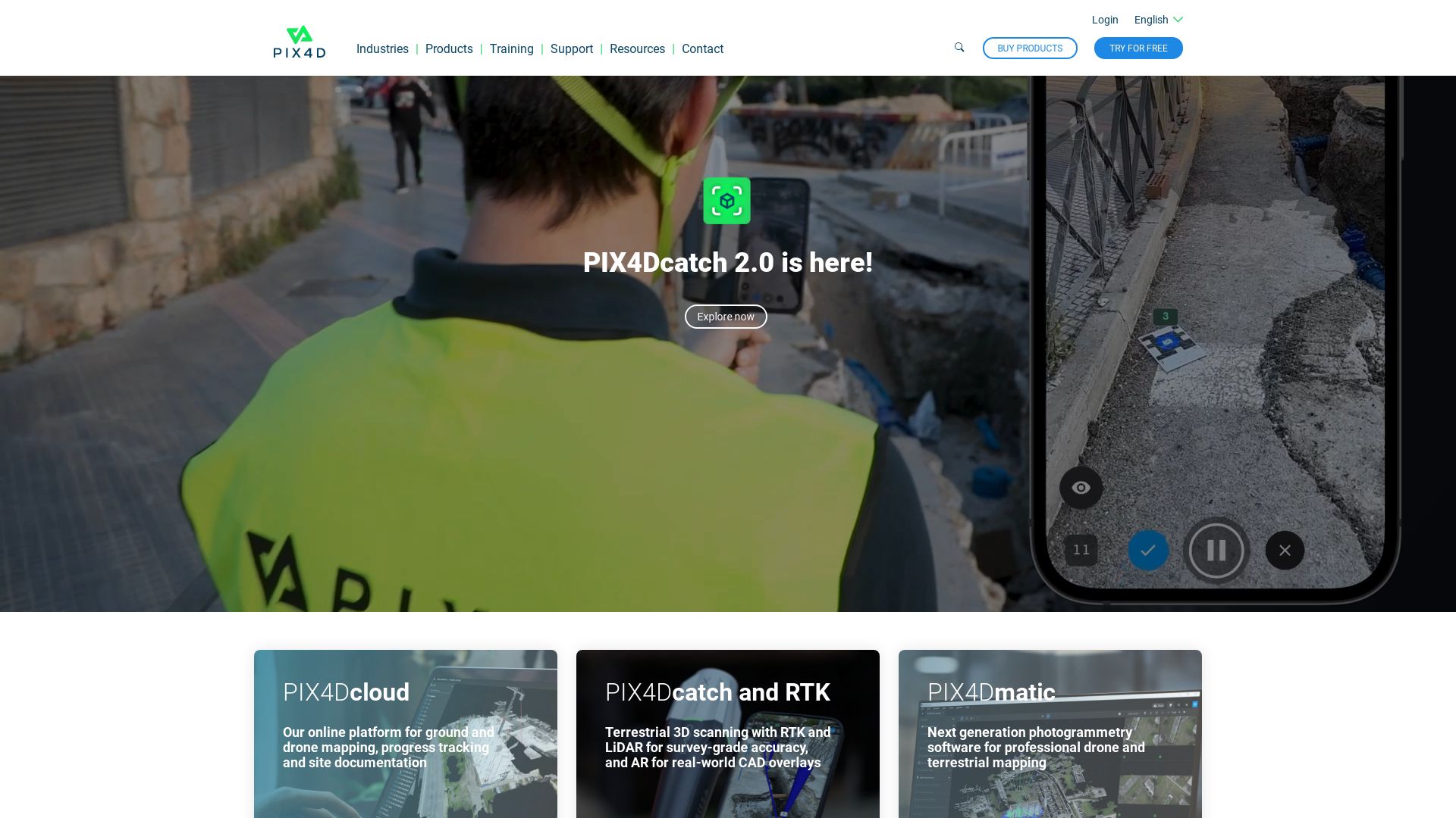
Pix4D
Truly an exponent of our evolving technological dance, Pix4D stands as an industry authority in the field of drone mapping and photogrammetry software. Its global presence with offices across continents underpins its reach and speaks to its universal relevance in crafting professional 3D maps through an array of sources – both ground-level and aerial.
Pix4D Top Features
Pix4Dmapper: A sophisticated photogrammetry software transforming images into precise 2D maps and 3D models
Encompasses desktop for auto-conversion, catering to a multitude of applications and industries
Offers personalized customer support and ready access to learning resources
Pix4Dreact: Tailored for public safety and emergency response sectors, it creates insightful 2D maps from drone images
Pix4Dcapture: A versatile flight planning mobile app designed for mapping and 3D modeling, available for Android and iOS.
Feature
Benefit
Flexibility in flight plan, parameters
Enables precise and customizable data collection
Free drone flight planning, image acquisition with Pix4D software integration
Cost-effective and seamless operation
Credit card, PayPal payments accepted; wire transfers for larger amounts
Convenience and choice in payment methods
Pix4D Limitations
Subscription cancellations and downgrades only take effect at the end of the billing cycle
No refunds offered for cancellations
Learning paths for training and software upgrades are mentioned, but specific courses or content are not detailed.
Pix4D Pricing
Pricing, reflected through subscriptions, is processed via credit cards, PayPal, or wire transfers for larger amounts. It’s important to note that subscriptions are renewed monthly but can be cancelled before renewal.
Pix4D Use Cases
Use case 1 – Emergency response
Pix4Dreact can serve as a vital tool in emergency response scenarios by swiftly creating 2D maps from drone images for real-time, actionable insights.
Use case 2 – Georeferencing
For georeferencing tasks, image conversion capabilities of the Pix4Dmapper software can be invaluable, giving true-to-life 2D mosaics and 3D models.
Use case 3 – Drone enthusiasts
For drone hobbyists and professionals alike, Pix4Dcapture offers an integrated, free flight planning and image acquisition solution to create precise maps and 3D models.
Recap
Subsidiary of the revered Autodesk suite, Recap Pro is an essential tool for designers, engineers and other finesse-seekers, aiming to create high precision models from real-world assets. Employing top-tier GPS technology, it veers towards the synergy of photo-reconstruction accuracy and processing speed, forming an integrity of imaginative yet realistic design.
Recap Top Features
Highly accurate 3D photo reconstruction
Fast processing speed with insightful project navigation
Measurement feature, offering fine nuanced control
Integrates seamlessly with Autodesk Drive, Autodesk Docs and BIM 360
ReCap 360, a cloud-based add-on service for efficient project management
Feature
Description
Customizable import settings
Ensure data filters and import settings adhere to a user’s unique workflow needs
Support for third-party developers
As a part of the ReCap Connect Partnership Program, businesses obtain the capability to create specific applications using the ReCap Photo Web API
Ability to handle large data sets
Empowers professionals to process, clean and visualize heavy loads of data from laser scans
Recap Downsides
As per the current setting, Recap Photo offers only cloud processing, making it unavailable for local processing support
The cost of processing items with less than 300 photos on Recap Photo may seem steep at $12 / €13.80
In consideration of its high-end features and precision, more novice users may find the tool slightly complex
Recap Pricing
ReCap Pro, now with many of the functionalities of the previously separate RealViz Image Modeler and ReMake, operates on a cloud credit basis. Each ReCap subscription includes 50 cloud credits and 25GB of Autodesk 360 storage. Nonetheless, the lack of local processing in the recently rebranded ReCap Photo means additional costs linked to cloud processing can be incurred.
Recap Use Cases
Use case 1
The high-end 3D photo reconstruction utility of Recap Pro, provides architects with accurate digital representations of physical environments, promoting seamless digital transformation.
Use case 2
Engineering firms can benefit from Recap’s precise, heavyweight data processing features for detailed modeling, effectively utilizing its interactive project navigation and measurement tools.
Use case 3
For all the software developers out there, Recap lends an innovative avenue through its ReCap Connect Partnership Program to develop specific applications using the ReCap Photo Web API.
PhotoScan: The Futuristic Photo Archiver
Google’s PhotoScan is a radical app that transforms your tangible photos into digital masterpieces. Launched in 2018, this revolutionary tool redefines recreational photography with its high-definition digital scans and AI-driven algorithms.
PhotoScan: Spicing Up Scanning with Unmatched Features
AI-driven Image Enhancement: The app uses groundbreaking AI technology to enhance image quality and manage extensive collections skilfully.
Quick Scanning: With the ability to process a scan within 15 to 30 seconds, remember, time saved is time earned.
Glare Removal and Distortion Diminishing: Photos that contain glare and distortions get a professional touch-up before being transformed into digital formats.
Smart Rotation:This feature of the app makes sure your photo’s orientation never goes askew during the scanning process.
Cloud Integration: Your photo memories aren’t just scanned, but are also automatically saved in Google Photos and can be shared with a single tap.
Features
Benefits
Automatic Cropping
PhotoScan uses edge detection to automatically crop and correct the perspective of scanned photos.
Integration with Google Photos
Scanned images are saved directly in Google Photos, facilitating editing, organizing, and sharing.
Cloud Services Integration
The app is integrated with cloud services for secure storage and sharing of precious memories.
In the midst of Plenty, PhotoScan’s Limitations
Quality control: The output of the scanned image majorly depends on the quality of your phone’s camera and the environment where the photo is being scanned.
Resolution: Scanned images are limited to a resolution of 72 ppi, which might not be ideal for all scenarios.
The Ultimate Freebie: PhotoScan
Wondering about the price tag? Well, it’s your lucky day. PhotoScan is absolutely free. Yes, you heard it right. All these unparalleled features come at no cost. Enjoy seamless scanning and sharing without spending a dime.
PhotoScan: A Tool for All and Sundry
Use Case 1: Personal Archiving
A boon for memory hoarders. Use your iOS or your Android device to scan your physical photos, preserve, and share them in a new, digitally enhanced avatar with PhotoScan.
Use Case 2: Professional Settings
Working in a museum or a historical society? Archive the treasures of history in high-definition quality using PhotoScan. It’s about time we welcome the good old days with a touch of futurism.
Use Case 3: Educational Purposes
Transform classroom instruction and take the learning experience to a whole new level with PhotoScan. Bring textbooks, charts, and diagrams to life, making education more engaging and encompassing.
Grant Sullivan
Content writer @ Aircada and self proclaimed board game strategist by day, AI developer by night.