PhotoScan is a cutting-edge app by Google, revolutionizing photo scanning with AI technology for high-definition digital scans. It offers intuitive user interface, glare removal, and cloud integration for easy editing and sharing, catering to personal and professional archival needs.
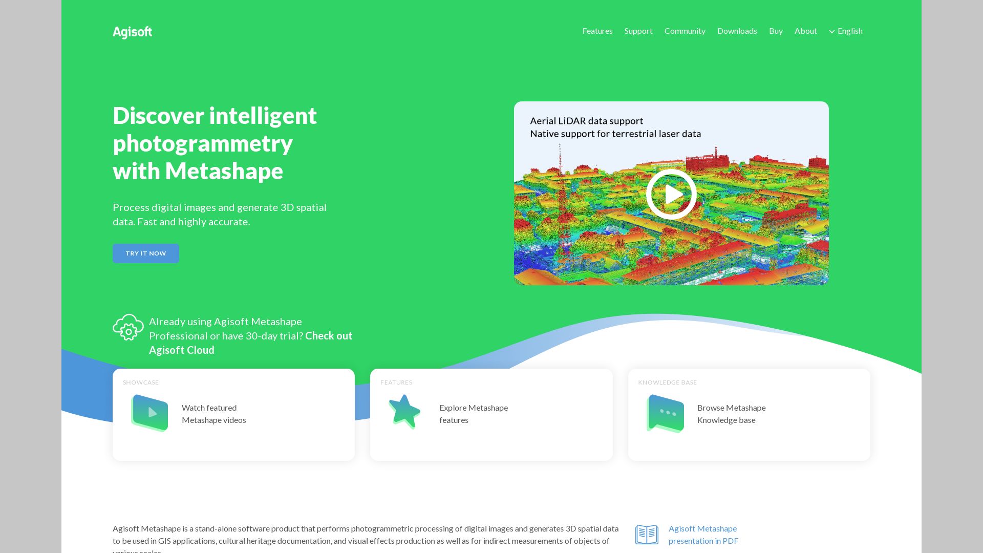
Powered by Agisoft, Metashape is a fully-fledged photogrammetry software that facilitates the creation of 3D and 2D models from images. Renowned for efficiency and versatility, Metashape is a compelling option for purposes spanning GIS, cultural heritage documentation, VFX production, and more.
Metashape Top Features
Comprehensive 3D and 2D modeling from images.
Versatility in processing across Windows, Linux, and MacOS.
Dark mode and an informative Workflow dropdown for hassle-free guidance.
Support for Virtual Desktop compatibility.
Inbuilt cleaning and crop tools that underscore efficient model creation.
Software Capability
Description
Auto mesh improvement and refinement
Ensures models are accurate and refined during the processing phase.
Cloud dataset processing
You can purchase computing time directly from the software for remote processing.
Height field
For optimally modeling terrains or base reliefs, especially for aerial photography.
Metashape Downsides
While impressive, Metashape has a few limitations to consider:
Processing times vary and high accuracy could require around 9 to 19+ hours.
Significant meshing noise that requires refinement.
Marking images for alignment is recommended, adding an additional step to the process.
Metashape Pricing
Metashape offers a perpetual license for $179 in the Standard Edition and $3499 in the Professional version. Notably, educational discounts are available at $59.
Metashape Use Cases
Use case 1: VFX Production
With its capacity to build intricate 3D models and texture mapping options, Metashape shines in VFX production, augmenting the creation of compelling visuals with accuracy and refinement.
Use case 2: Cultural Heritage Documentation
Metashape’s ability to generate detailed models from depth maps makes it particularly applicable in cultural heritage documentation, delivering high-resolution reconstructions of historically significant artifacts and sites.
Use case 3: GIS
In the realm of Geographical Information Systems, Metashape proves useful, allowing the development of intricate spatial models to facilitate analysis and understanding.
Agisoft
Let us turn the key and unlock the world of Agisoft– a renowned name in photogrammetry, best known for their progressive software Metashape, once called ‘Photoscan’. This company thrives on providing utmost precision with no limitations on resources employed.
Agisoft Top Features
High performance software that has improved significantly over the years, with its processing speed having more than doubled.
Ability to produce high-quality models. The mesh from depth maps tools work diligently to enhance details and reduce noise.
Comprehensive software includes refining mesh, creating mesh from depth maps, and more.
Utilities for video import and decomposing them into individual frames.
Advanced masking tools for background removal and point cloud streamlining.
Feature
Benefit
No limitations
Freedom to use any number of photos or GPUs.
360-degree models
Full customization and optimization with marking, scaling, removing unwanted points, and cropping tools.
Decomposing videos
Allows direct import of videos by breaking them into individual frames.
Agisoft Limitations
Users must exercise discretion when using integrated GPUs for enhancing performance.
Agisoft Pricing
Featuring an economically sound licensing structure, Agisoft offers a $179 standard edition perpetual license with a $59 educational discount. Undoubtedly a high value-for-money option within the commercial market.
Agisoft Use Cases
Use Case 1: Immersive Tech
Agisoft’s applications span the realm of immersive tech, providing precision details with high-quality models, crucial for an engaging AR/VR experience.
Use Case 2: Gaming
In the intricate world of gaming, Agisoft’s abilities to create rich, comprehensive models and landscapes are second to none, allowing a tangible experience.
Use Case 3: Cultural Heritage Documentation
Agisoft makes cultural heritage documentation accurate and accessible, producing renderings with such detail that they capture each historic nuance.
Recap
Welcoming a consecrated player in the 3D graphics and modeling world, Recap Pro. A jewel in Autodesk’s crown, it’s a tried-and-true instrument for capturing and modeling real-world entities. Equipped with high-precision GPS technology and integrating seamlessly with various Autodesk solutions, it establishes itself as a supremely accurate and efficient tool for designers and engineers alike.
Recap Top Features
High-Precision GPS Technology: For capturing real-world assets with survey-grade accuracy.
Integrative Tools: Seamlessly pairs with Autodesk Docs, Autodesk Drive, and BIM 360 Docs.
Measurement Feature: Renders detailed and accurate measurements.
Customizable Import Settings: Allows personalized data filtering.
Cloud-Based Addon Service: Recap 360 offers additional storage, online file sharing, and annotations without altering original data.
Feature
Description
PointCloud Registration
Transforms and cleans up large datasets from laser scans, assisted by powerful algorithms.
ReCap Connect Partnership Program
Empowers other businesses to develop specific applications using ReCap Photo Web API.
Compatibility and Integration
Integrated with other platforms like Roux SDK, Scandy Pro, IGiS Photogrammetry Suite, making them apt alternatives to ReCap.
Recap Limitations
High processing expense: The cost of object processing under with less than 300 photos with Recap Photo is around $12 / €13.80. Hence, it may be an expensive choice for those seeking photogrammetry software.
Cloud processing only: ReCap Photo has shifted completely to cloud-based processing, leading to potential limitations for those preferring local processing.
Recap Pricing
ReCap’s pricing scheme includes an allotment of 25GB Autodesk 360 storage, with 50 cloud credits. However, consider that Recap Photo’s cloud processing comes with its own costs. Be prepared to spend $12 / €13.80 for processing objects with less than 300 photos.
Recap Use Cases
Use case 1: Designers & Engineers
ReCap stands as a game-changer for designers and engineers, assisting them with a 3D representation of their projects. The high-resolution mesh models provide ultimate illustration of their projects, feeding in for precise model creation and progress.
Use case 2: Businesses
Through the ReCap Connect Partnership Program, businesses can develop applications using the Recap Photo Web API. Essentially, reaching well beyond designers or engineers, Recap contributes to sparking innovation in companies to improve their offerings.
Use case 3: Technological Integration
ReCap’s versatility allows synergy with other technological platforms, including Roux SDK and Scandy Pro. This feature enriches its utility across a wide expanse of applications, enhancing its value in the 3D graphics and modeling sphere.
PolyCam
A paradigm of technological finesse, PolyCam is a 3D scanning app by PolyCam Inc. Applicable for a number of fields, this application brims with features, giving the user immense control over the modelling process, both on iOS and Android platforms.
PolyCam Top Features
Available for various platforms including Android 8.0+, iOS 15.2+, and iPadOS 15.2+.
Featuring LiDAR scanning, photogrammetry, and 360-degree panorama capture.
Advanced AI-based 360 Capture system.
Enables collaborative editing with a share feature.
Supports drone mapping.
Incorporates Room Mode for interactive floor plans.
Generates video making with various modes like Orbit, Path, Custom.
Feature
Details
Export Options
PolyCam Pro provides advanced export, including mesh data, blueprint, and point cloud data.
Compatibility
PolyCam leverages Apple’s Object Capture tech for photogrammetry, compatible with a wide array of devices.
Community
A platform for sharing and exploring models, fostering creative collaborations.
PolyCam Limitations
Captures can appear black on mobile web browsers if texture is larger than 4K.
LiDAR functions require a device with a LiDAR sensor, limiting the user base.
Currently, the Android version does not support Photo Mode.
PolyCam Pricing
Affordable and accessible, PolyCam’s Pro Edition is priced at $14.99/month or $79.99/year, providing the user with advanced export formats, unlimited Photo Mode captures and more.
PolyCam Use Cases
Use Case 1: Contractors and Architects
The in-depth scanning capabilities and the precision of PolyCam make it extremely beneficial for contractors and architects, empowering them to create detailed 3D models and interactive floor plans using the Room Mode feature.
Use Case 2: Filmmaking and VFX
With its robust video making features including various modes like Orbit, Path, Custom, PolyCam serves as a boon for filmmakers and VFX artists, enhancing their visual storytelling capabilities.
Use Case 3: Interior Designers
By enabling a collaborative editing feature combined with the option of viewing 3D models in Augmented Reality, PolyCam makes the perfect playground for interior designers, brushing life onto their concepts.
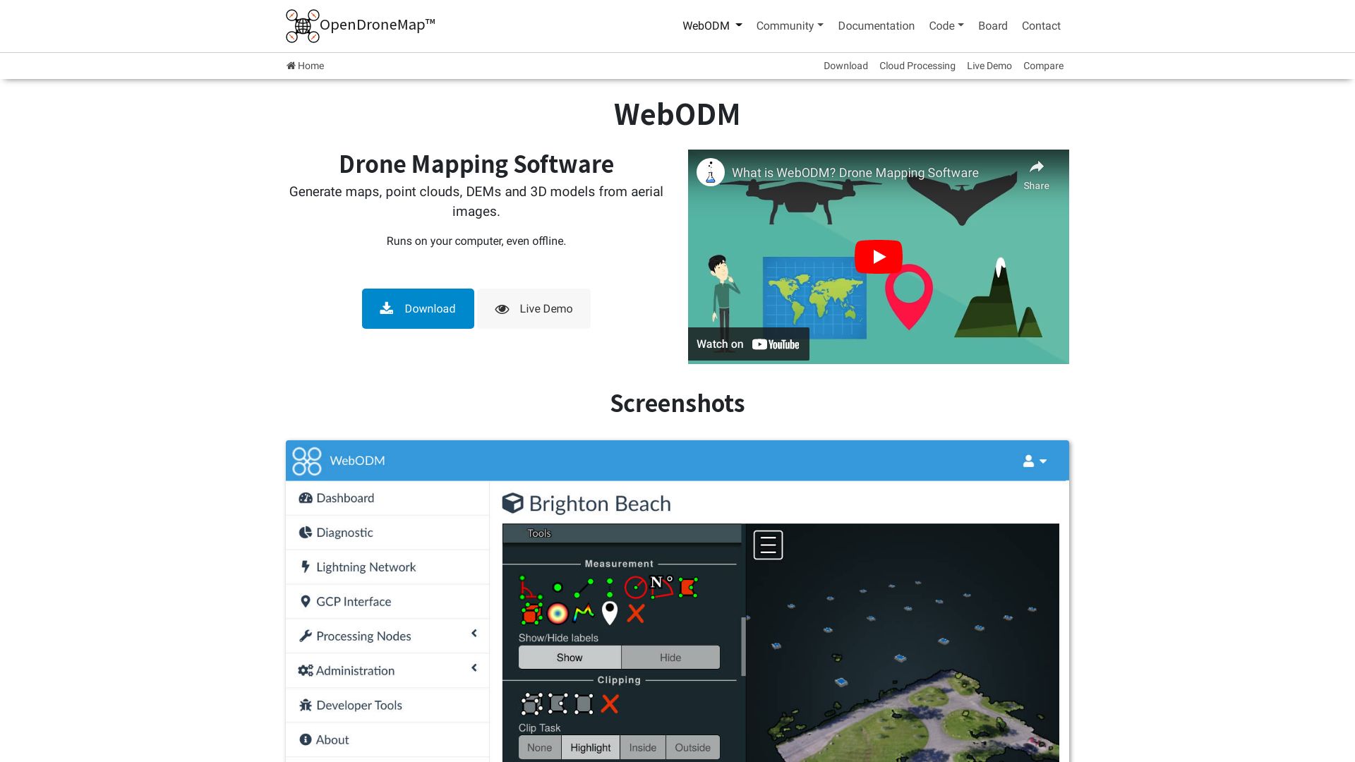
WebODM
WebODM is an open-source photogrammetry toolkit developed by OpenDroneMap. It transforms aerial imagery into maps and 3D models, providing a sophisticated and cost-efficient solution for various use-cases.
WebODM Top Features
Rapid mapping and modeling of aerial imagery
Parallel processing through NodeODM
Incorporates Python, C++, JavaScript, Shell, and Go languages
Compatibility with Windows, Linux, MacOS
Fully hosted and distributed on GitHub
Integration with Portable OpenStreetMap system
Feature
Benefit
Service daemon set-up for Linux
Further enhanced convenience and productivity
Automated installer for Windows and macOS
Simplifies set-up process
Comprehensive backup/restore capabilities
Improved data protection
WebODM Limitations
Limited end-user customizability due to open-source nature
Requires moderate technical knowledge to maximize functionality
WebODM Pricing
As an open-source toolkit, WebODM is freely accessible and distributed on GitHub.
WebODM Use Cases
Use case 1
WebODM proves beneficial for environmental researchers, enabling precise mapping of areas for studies, such as carbon sequestration.
Use case 2
Public entities like the American Red Cross can leverage WebODM to boost their operational efficiencies during critical initiatives.
Use case 3
With its initial funding by Cleveland Metroparks, WebODM has demonstrated its advantage in Park Management and Maintenance.
Zephyr
From the creative house of 3Dflow, Zephyr is an all-encompassing photogrammetry marvel, designed to cater to all your 3D reconstruction needs.
Best Zephyr Features
All-inclusive software suite for 3D construction, be it through photos or videos.
Compatibility across various sensors and acquisition techniques, including aerial, ground photogrammetry, spherical pictures, and RGB imagery.
Operates on a gamut of cameras, lenses, and focal lengths.
Empowers you with laser scan data import, registration, and analysis.
Technologically independent with in-house software capabilities and immune to third-party vision libraries.
Academically recognized and credited in numerous research papers.
Image Masking Tool
Available in Lite and Pro versions
Future Improvements
Enhanced UI, Normal Maps Generation, Detail Enhancement, Better Texture Packing
Community Support
Strong and vibrant community spirit, aiding in software development
Zephyr Downsides
“Free” version has a 50 photos limit, limiting the extent of exploration.
Full operability in Linux only through Wine assistance.
Zephyr Pricing
Benefit from Zephyr’s transparent pricing structure. Choose a perpetual license with no hidden charges or opt for the subscription model – €250+VAT/month.
Zephyr Use Cases
3D reconstruction
Zephyr’s advanced features allow an astonishingly real 3D reconstruction from photos or videos, making it the ideal choice for designers and developers alike.
Academic Research
Zephyr serves as a go-to photogrammetry tool that’s academically certified, making it an excellent ally for academic researchers.
Linux users
Zephyr operates fully in Linux with the aid of Wine, effectively catering to the Linux user base.
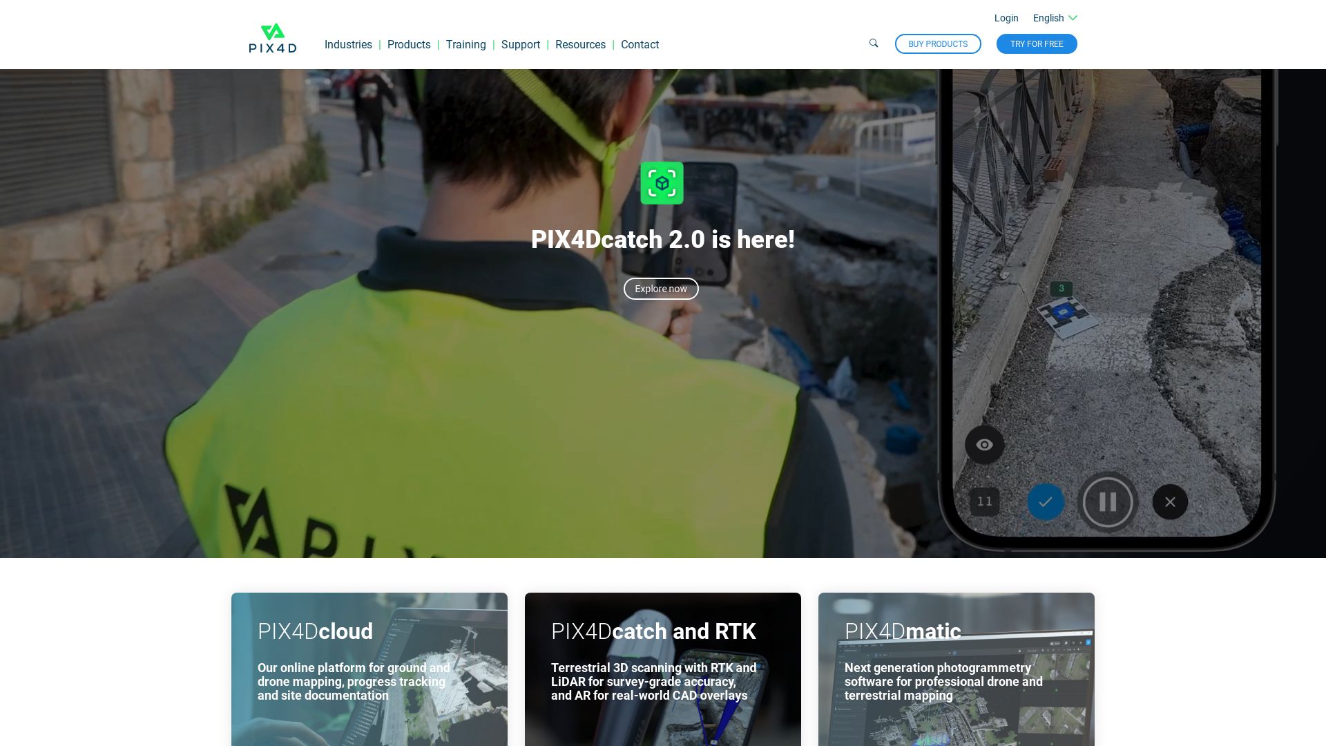
Pix4D
Renowned as an industry frontrunner in drone mapping and photogrammetry software, Pix4D empowers professionals to construct precise 3D maps and models. With headquarters across the globe and high compatibility with varied image sources, Pix4D leads in transforming visuals into georeferenced data.
Pix4D Top Features
Focus on drone-based, high-precision 3D maps creation from various image sources
Transformation of images into georeferenced 2D mosaics, 3D models, point clouds
Pix4Dmapper – a robust photogrammetry software that employs desktop for seamless conversion, suiting different applications and industries
Comprehensive customer support and an abundance of learning resources
Pix4Dreact – a dedicated solution for public safety and emergency response sectors, providing fast 2D map results
Pix4Dcapture – a versatile flight planning mobile app designed for mapping and 3D modeling with customizable flight plans
Feature
Benefit
Pix4Dmapper
Generates precise 2D maps, 3D models.
Pix4Dreact
Caters to the specific needs of the public safety sector.
Billing cycle-dependent subscription cancellations and downgrades
Significant transactions (over $1500, €, CHF) exclusively via wire transfers
Pix4D Pricing
Pix4D utilizes a monthly subscription mode with automatic renewals, paid via credit card or PayPal. More substantial amounts involve wire transfers. Subscriptions are adjustable and cancellable from the user account at anytime. However, changes are reflected at the term’s end.
Pix4D Use Cases
Use Case 1: Drone Mapping
Whether hand-captured, drone-taken, or plane images, Pix4D leverages these visuals to deliver georeferenced 2D mosaics and detailed 3D models.
Use Case 2: Public Safety
Employing Pix4Dreact, the platform prompt generates 2D maps from drone imagery, providing essential insights for emergency response sectors and public safety.
Use Case 3: Flight Planning
Pix4D’s mobile app, Pix4Dcapture, supplements drone pilots with free flight planning, image acquisition coupled with Pix4D software integration, making it an invaluable tool in fieldwork.
3DF Zephyr
Welcome to the world of 3DF Zephyr, a comprehensive photogrammetry software developed by 3DFlow. This powerful tool can automatically reconstruct 3D models from photos, videos, and even integrate data from laser scanners with in-built post-processing tools and 3D modelling capabilities.
3DF Zephyr Top Features
Automatic 3D model reconstruction: From photos to laser scan data, it supports a variety of camera sensors and drones.
Complete photogrammetry pipeline: Covers the full process, camera orientation to texture generation phase.
Integrated CAD drawing capabilities: Can perform CAD drawing, generate sections, paths, and contour lines.
Export options: Allows your data to be exported in your preferred file format.
Video frame extraction: This feature pulls frames directly from videos, making 3D reconstruction faster and more seamless.
Feature
Description
Orthophotos and Models
Capable of creating true orthophotos, Digital Terrain and Surface models.
Measurement and Export
Allows users to measure and export data in viewer’s file format of choice.
3DF Zephyr Limitations
For the free version, the software supports a limit of 50 photos, and comes with limited exporting and editing tools.
It’s a Windows-centric application. Although it can run on Linux using Wine, it may not deliver the same smooth performance as on Windows.
3DF Zephyr Pricing
3DF Zephyr offers four different license versions – Free, Lite, Pro, Aerial. The Lite version is capable of handling unlimited images, supports dual NVIDIA GPUs and is perpetually licensed at €199.00 + VAT. The Pro version, with its complete set of editing tools and full GPU support, is available for a one-time fee of €4200.00 + VAT or through a monthly subscription at €250.00 + VAT. Notably, the perpetual license comes with 12 months of free updates and has no hidden charges.
3DF Zephyr Use Cases
Hobbyists and Enthusiasts
3DF Zephyr satisfies the sophisticated photogrammetry needs of hobbyists. It’s the first photogrammetry software published on Steam, serving the gaming community effectively.
Professional Laser Scanning
With the ability to integrate with laser scanning, 3DF Zephyr comes to the forefront of professional grade photogrammetry software. The Pro version also includes 3DF Scarlet, a dedicated software for laser scan registration.
Motion Capture
By leveraging video loading, 3DF Zephyr can speedily capture motion, making it a great asset for motion capture artists and animators.
Reality Capture
Introducing RealityCapture—the cutting-edge 3D graphics software developed by Capturing Reality in 2013 and publicly released in 2016. Renowned for its ability to construct impressive 3D models from unordered photos or laser scans, this program boasts wide application across various fields.
Reality Capture Top Features
Image registration and calibration for precision and consistency.
Capable of polygon mesh calculation to form structured 3D models.
Offers georeferencing to assign real-world coordinates to models.
Availability of a software developer kit accentuating adaptability and deep customization.
Out-of-core approach for meshing, coloring, and texturing, ensuring loss-free data processing.
Integration with Unreal Engine
anticipated following acquisition by Epic Games in 2021.
Technical Requirements
Current Limitations
64-bit machine with 8GB RAM
Limited Nvidia graphics card support
64bit Windows 7/8/8.1/10
Max 2500 photos for Promo license
Nvidia CUDA 2.0+ GPU, 1GB RAM
No technical support for Promo license
Reality Capture Disadvantages
Processing timescales increase linearly—double the input leads to double the time.
RC software license limited to 32 CPU cores, 3 GPU cards, requiring additional licenses for larger configurations.
Demo version available without export possibilities.
Reality Capture Pricing
RealityCapture operates on a credit-based system, priced at $10 per 3,500 credits.
Reality Capture Use Cases
Use Case 1: Gaming
Game developers can integrate the photorealistic 3D models created by RealityCapture into their gaming environments, thus enhancing the overall gaming experience.
Use Case 2: Architectural Visualization
RealityCapture allows architects to create detailed 3D models of future buildings or houses, thereby facilitating better informed design decisions and compelling client presentations.
Use Case 3: Virtual Reality
By generating immersive virtual reality scenes from photos or laser scans, RealityCapture can dramatically enrich multimedia and VR experiences.
ReCap Pro
As a cornerstone product from Autodesk, ReCap Pro bridges the gap between the physical and digital worlds with its advanced 3D scanning and modeling technology.
ReCap Pro Top Features
Impressive 3D modeling capabilities from photographs and laser scans.
Facilitates team collaboration via reality-based design.
Offers ReCap Photo service for efficient processing of drone captured imagery.
XYZ axis configuration
Allows user setting for coordinate system using compass widget.
GPS technology
Enables high accuracy photo reconstruction without ground control points.
Integration options
Potential compatibility with external software including Meshroom, IGiS, and more.
ReCap Pro Downsides
Price could be prohibitive for certain users, starting at $26 per month.
Limited features during the free trial period.
ReCap Pro Pricing
ReCap Pro retails from $26/month with licenses available on monthly, yearly, or 3-yearly basis. They also offer a free trial.
ReCap Pro Use Cases
Use case 1
Engineering and construction industry professionals can leverage ReCap Pro to derive accurate 3D models from real-world scans.
Use case 2
Similarly, drone operators can use the software’s ReCap Photo service to easily transform aerial photos into 3D site representations.
Use case 3
Surveyors can take advantage of ReCap Pro’s mobile compatibility, simplifying a traditionally time-consuming process.
Reality Scan
Unveiling the Reality Scan, a revolutionary app from Epic Games that enables you to transform real-world objects into crisp 3D models. Armed with this tool, you are no longer confined to building everything from scratch. Simply scan, preview, and export. It’s that simple!
Reality Scan Top Features
Transform images into 3D models by capturing them from different angles.
Seamless export of your scans to Sketchfab, a popular platform for sharing 3D models.
An enhanced Project Library for easy and convenient project management.
Stay connected with the community through an active hashtag #realityscan and a robust feedback system.
Capitalize on the power of photogrammetry – a hassle-free method to capture multiple images from different angles.
Compatible with iPhone or iPad devices that support iOS 16.0 and above.
Anticipated Android version set to launch in 2023.
Bag a potential offer of a free year of Sketchfab Pro.
Tech used:
The powerful technology underpinning RealityScan and the MetaHuman Creator, extensively used in over half of all announced next-gen games.
Price:
Reality Scan is free to download!
Direct upload to Sketchfab:
Create and push your 3D models directly to Sketchfab using RealityScan.
Reality Scan Limitations
Sensitivity to environmental factors due to use of photogrammetry.
While the app uses robust algorithms to transform images into 3D models, it may not capture fine details as accurately as some other technologies.
Reality Scan Use Cases
Use case 1: Game Development
RealityScan, being a part of Epic’s 3D creation toolbox, revolutionizes gaming by enabling you to inject real-world objects into your games, bypassing the need to build them from scratch.
Use case 2: AR Applications
Want to create immersive AR experiences? With RealityScan’s photogrammetry approach, you can accurately capture large objects or environments and import them into your AR applications.
Use case 3: Sharing 3D Models
Are you a 3D artist looking for an active platform to share your creations? RealityScan exports your scans directly to Sketchfab, a community of likeminded artists, offering you feedback and inspiration.
ContextCapture
Gazing at the intersection of 3D graphics and cutting-edge technology, we find ContextCapture — a profound offering by Bentley Systems. This versatile software allows for the creation of high fidelity, accurate 3D models employing photos or LiDAR point clouds. The cutting-edge reality modelling tool notably stands as part of the Reality Modeling WorkSuite and has an embedded role in powerful infrastructure projects and urban development designs.
ContextCapture Top Features
Ability to quickly produce high-quality 3D meshes for infrastructure projects
Incorporates machine learning to detect, locate, and classify reality data
Remarkably designed for scalability with the aptitude to handle large-scale datasets
Includes features favouring level-of-detail generation and adaptive tiling
Seamlessly blends with Bentley Pointools and Bentley Descartes, offering unmatched interoperability across software platforms
Beneficial for
Key USP
Urban Planning and Infrastructure Development
Accurate 3D models for urban development planning
Architecture and Construction
Intuitive user interface allowing a smooth workflow
Cultural Heritage and Tourism
Offers CAD module for editing and analyzing reality data
ContextCapture Limitations
All cloud functionalities may not be available in all countries
High-end hardware may be required for handling terabytes of input imagery
ContextCapture Pricing
The pricing of ContextCapture is variable and oriented towards creating cost-effective solutions, details of which must be taken from Bentley System’s official website. Despite the varying costs, it invariably stands out as a more affordable choice when compared to traditional methods.
ContextCapture Use Cases
Use case 1: Urban Planning
ContextCapture manifests its potential effectively in urban planning, offering precise and accurate 3D models. Its capability to handle large-scale data allows it to be employed in the mapping of entire cities, further contributing to comprehensive urban development planning.
Use case 2: Architecture and Construction
For architecture and construction, ContextCapture provides an intuitive workflow with its user-friendly interface. Its seamless integration with other Bentley software allows for smooth design, engineering, and construction of infrastructural projects.
Use case 3: Cultural Heritage Preservation
Preserving cultural heritage becomes an achievable goal with contextCapture. By using the CAD module for editing and analyzing reality data, various heritage sites can be documented and preserved digitally in high detail and precision.
Meshroom
Allow us to introduce you to Meshroom, a robust, free open-source 3D Reconstruction Software. Operating on the AliceVision framework, Meshroom is the result of rigorous academia-industry collaboration, intended to bring quality 3D Reconstruction and Camera Tracking algorithms to anyone willing to explore the realm of digital dimensionality.
Meshroom Top Features
Real-time 3D capture: Using Microsoft Kinect or Asus’s Xtion Pro Live, Meshroom manifests 3D models at an impressive speed.
Customizable Integration: Designed for seamless integration into render farm systems, it adjusts to your studio pipeline.
Compatibility: Available for Windows and OSX/Linux users alike, Meshroom extends the joy of creating 3D models to everyone.
Wide Application: From 3D printing to photogrammetry, the reach of Meshroom remains vast and versatile.
Extended Photogrammetry
Meshroom supports large scale projects, making it a viable tool for tasks like CT scanned human body reconstructions.
Augmented and Live Reconstruction modes
Meshroom offers varied accessibility options to enhance your creating experience.
Meshroom Limitations
Quality: While video input is possible, it often offers lower quality results than still images.
Target limitations: The tool yields better results with textured, rough items. Glossy or transparent objects may need an extra layer of powdered coating for optimal renders.
Meshroom Pricing
The magic of Meshroom doesn’t weigh on your pocket. Being free and open-source, this tool extends its benefits to all, without asking for a dime.
Meshroom Use Cases
Use case 1 – Medicine
Meshroom plays a pivotal role in medical applications, offering a practical solution for detailed 3D reconstructions like human body CT scans.
Use case 2 – Robotics
Through Meshroom, implementing 3D models into the robotic designs becomes a seamless, efficient process.
Use case 3 – Videogames and Movies
With the rise of photorealistic trends, Meshroom serves as a powerful tool to bring video games and movies to life with scientifically-backed algorithmic precision.
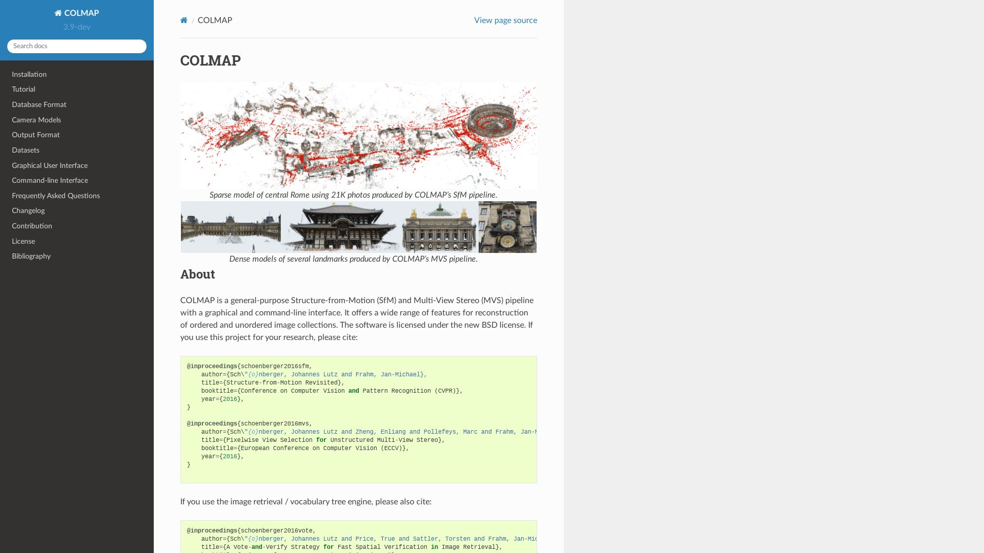
COLMAP
An alternative to processes like VisualSFM and CMPMVS, COLMAP is a tool that vividly manages image-based 3D reconstruction, by housing a comprehensive pipeline from image input to the generation of dense, mesh results. Known for preserving detail and excelling with higher resolution images, COLMAP blossoms across all major platforms.
COLMAP’s Premier Features
Offers alternative for VisualSFM & CMPMVS process
Preserves intricate details in higher resolution images
Operates on all major platforms (Linux, Mac, Windows)
Effectively employs both exterior and interior imaging
Implements image undistortion and dense reconstruction
Employs methodologies like Structure-from-Motion and Multi-View Stereo
Matching Modes
Community Support
Exhaustive, Sequential, Vocabulary Tree, Spatial, and Transitive Matching
Acknowledges contributions, bug fixes, and improvements from a brother community
License
Platform Support
Software Licensed under GNU General Public License
RUNS effectively on CUDA compatible graphics card
COLMAP’s Limitations
Despite its profound offerings, COLMAP’s deep dependence on CUDA-compatible graphics cards may limit certain users and narrow the demographic further. Moreover, the lack of a mobile version might deter some modern, on-the-go users who prefer portable solutions.
COLMAP Pricing
COLMAP is generously available under the GNU General Public License, ensuring it remains free for the broader community to utilize and contribute towards.
COLMAP Use Cases
Use Case 1: High-Resolution Image Modeling
COLMAP excels in managing high-resolution images, preserving intricate details — a vital asset for professional photographers and graphic designers.
Use Case 2: Exterior and Interior Imaging
Given its proficiency in both exterior and interior imaging, architects and interior designers might find COLMAP a valuable tool for visualizing space designs.
Use Case 3: Community Development
Thriving on collective insights and open-source ethos, COLMAP enables community developers to make contributions, bug fixes, and improvements — creating an ecosystem of collaborative growth.
Hannah Stewart
Content writer @ Aircada, tech enthusiast, metaverse explorer, and coffee addict. Weaving stories in digital realms.