Pix4D is a leading company specializing in drone mapping and photogrammetry software. With offices worldwide, they empower users to create professional 3D maps using various image sources converted into georeferenced maps and models. Their software, Pix4Dmapper, caters to a wide range of industries and applications, supported by customer service and learning resources.
Exploring options beyond Pix4D, one can consider Reality Capture, Metashape, ReCap Pro, Agisoft, PhotoScan, 3DF Zephyr, Reality Scan, ContextCapture, Meshroom, COLMAP, Recap, PolyCam, WebODM, Zephyr, and more.
Reality Capture
A product of Slovak company Capturing Reality, RealityCapture (RC) entered the public sphere in 2016, swiftly becoming a powerhouse in 3D computer graphics software. Distinctive for its capacity to create immaculate 3D models from unordered photos or laser scans, it has carved a niche for itself in diverse fields from gaming to cultural heritage, full-body scanning, and Virtual Reality.
Reality Capture Top Features
Image Registration, Calibration, and Polygon Mesh Calculation: An integrated suite of functions enabling high-performance 3D rendering.
Georeferencing and Measurement: Essential tools for surveying and mapping, contributing to its market versatility.
Out-of-core meshing, coloring, and texturing: Innovative techniques that enhance the final 3D product.
Feature
Description
Software developer kit (SDK) availability
Serves developers seeking deeper customization.
Command line operation
Offers efficiency and control for technical users.
Integration with Unreal Engine
Enriches its application in gaming/VFX, post-Epic Games Acquisition.
Reality Capture Limitations
Limited Nvidia graphics card support: Inhibits performance on broader configurations.
Pricing: Potentially prohibitive at $10 per 3,500 credits.
Promo license limitations: Caps the total photos at 2500, excludes technical support, and sends export statistics to the developer.
Reality Capture Pricing
The standard pricing scheme grants 3,500 credits at the rate of $10. For supplementary benefits, additional purchase is necessary. Demo versions without export functionality and restricted Promo licenses are available.
Reality Capture Use Cases
Use case 1
Architects projecting future building/house configurations attain invaluable insights through RealityCapture. The 3D models aid in refining designs and enriching client presentations.
Use case 2
Surveyors and mappers leverage the georeferencing and measurement features for more precise, visually compelling outputs. RealityCapture also suits gaming and VFX professionals due to its integration into Unreal Engine.
Use case 3
Cultural heritage institutions apply RealityCapture to preserve digitally reconstruct artefacts and sites, thereby enabling immersive exploration and study.
Metashape
Metashape by Agisoft, is a top-of-the-line photogrammetry application equipped with the prowess to create impressive 2D or 3D models from images. Used extensively across diverse areas such as GIS, cultural heritage documentation, and VFX production, it’s an unrivalled resource that runs smoothly across Windows, Linux, and MacOS.
Metashape Top Features
Excellent flexibility with no limitations on the number of photos processed or GPU usage.
Inclusion of smart automatic mesh refinement during processing.
Rich texture building which adds color overlay on your 3D mesh.
Exclusive single-camera mode for traditional 3D modeling.
Compatibility with major applications such as Meshlab, Cloudcompare, and Sketchfab.
Feature
Brief Description
Cloud Dataset Processing
Comes with an option for purchasable cloud computing time directly from the software.
Varied Export formats
Supports a range of formats including .obj, .pdf, and .stl.
Workflow dropdown
Summarizes process steps for easy guidance and user-friendly navigation.
Metashape Limitations
High accuracy processing times can stretch from 9 hours to 19+, which may influence deadline-centric projects.
For optimal image alignment, markers are recommended which could add to preparation steps.
Metashape Pricing
The Professional version of Metashape comes at $3499 while the Standard mode is available for $179, both offered as perpetual licenses. It also includes an educational discount for $59.
Metashape Use Cases
Use case 1
Metashape proves itself an indispensable tool in the field of Geographical Information System (GIS). Here, it aids the creation of 2D and 3D models for precise land-use classification, significantly enhancing the accuracy of geographical data.
Use case 2
In the world of VFX production, Metashape elevates the quality of graphics. By building detailed 3D models from depth maps, it helps to replicate real-world objects and environments with realistic textures and effects.
Use case 3
In cultural heritage documentation, Metashape’s impressive feature set allows for the creation of detailed digital replicas of historical artefacts and architecture, offering invaluable advancements in preservation and study methodologies.
Recap
Meet Recap, a tool from the Autodesk suite designed to equip designers and engineers with highly accurate models of real-world assets. Leveraging the strength of high-precision GPS technology, Recap Pro enables survey-grade accuracy from photo reconstruction.
Recap Top Features
Project Navigation: Offering navigational ease through projects.
3D Photo Reconstruction Accuracy: Ensures high precision in every model.
Ortho Image Resolution: Captures every detail for a true-to-life experience.
Fast Processing: Delivers results in less time, enhancing efficiency.
Measurement Feature: Catering to the unique needs of every project and improving precision.
Feature
Description
Point Cloud Files
Opens them within the Autodesk suite, aiding in versatile project creation.
Data Filtering
Offers customizable import settings, allowing for streamlined data management and better results.
Powerful Algorithms
The tool uses them for registration and alignment, substantially increasing accuracy.
Recap Limitations
Cloud Processing Costs: With Recap Photo’s cloud processing requiring cloud credits, the expenses may weigh heavy for certain users.
Photogrammetry Software Selection: For projects with less than 300 photos, Recap Photo charges $12 / €13.80 per process, signaling cost limitations for some.
Recap Pricing
While specific pricing for Recap Pro was not mentioned, the tool in itself is part of the Autodesk suite. Recap also offers 25GB of Autodesk 360 storage and 50 cloud credits for Recap 360 projects. Nonetheless, users should note that Recap Photo involves additional cloud processing costs.
Recap Use Cases
Use case 1 – Real-World Asset Modeling
For designers and engineers striving to create detailed and accurate models of real-world assets, Recap proves useful. With high-resolution photo reconstruction, it caters to the detailed requirements of unique projects.
Use case 2 – Data Management
Companies seeking efficient data management solutions can resort to Recap. Offering customizable import settings, it helps in filtering and organizing data effectively.
Use case 3 – High Precision Projects
Recap Pro serves those invested in projects demanding survey-grade accuracy. Thanks to its high precision GPS technology integration, a detailed, error-free result is achievable.
PolyCam
Meet PolyCam, a versatile 3D scanning app crafted by PolyCam Inc. Designed for both iOS and Android, this feature-packed app uses LiDAR scanning, photogrammetry, and a 360-degree panorama capture facility to aid professionals across the spectrum, from contractors and architects, to VFX artists and filmmakers.
PolyCam Top Features
3D Capture and LiDAR Scanning: Enabling high-quality digital reproduction of environments and objects.
360-degree panorama capture and AI-based 360 Capture system: Offers an immersive capturing experience.
AR Viewing Capability: Models can be viewed in Augmented Reality.
Collaborative editing: Share and collaborate edits with team members.
Beneficial Features
Description
Supports Drone Mapping
Enables aerial mapping using drones.
Polycam for Teams
Provides content and user management tools, enhancing project collaboration.
Community Platform
A space for sharing and exploring models with a community of users.
PolyCam Downsides
LiDAR functionality requires iPhone 12 Pro or higher. Other iOS devices only offer Photo Mode.
Android version for Photo Mode expected, but not yet available.
Captures may fail or appear black on mobile web browsers if texture is larger than 4K.
PolyCam Pricing
The Pro edition of Polycam comes at a price of $14.99/month or $79.99/year, unlocking advanced export formats and unlimited Photo Mode captures.
PolyCam Use Cases
Use case 1: Architectural Design
Architects can leverage PolyCam’s LiDAR scanning and photogrammetry for creating accurate 3D models of structures, literally designing with future in view.
Use case 2: Filmmaking
PolyCam can aid film production by enabling seamless scenery capture and room modeling providing inch-level accurate measurements, and facilitating interactive floor plans creation.
Use case 3: VFX and 3D Art
Thanks to LiDAR scanning and 3D capture, creators can develop immersive AR and VR experiences or intricate 3D art with models compatible with Blender, Cinema4D, Unity, Unreal.
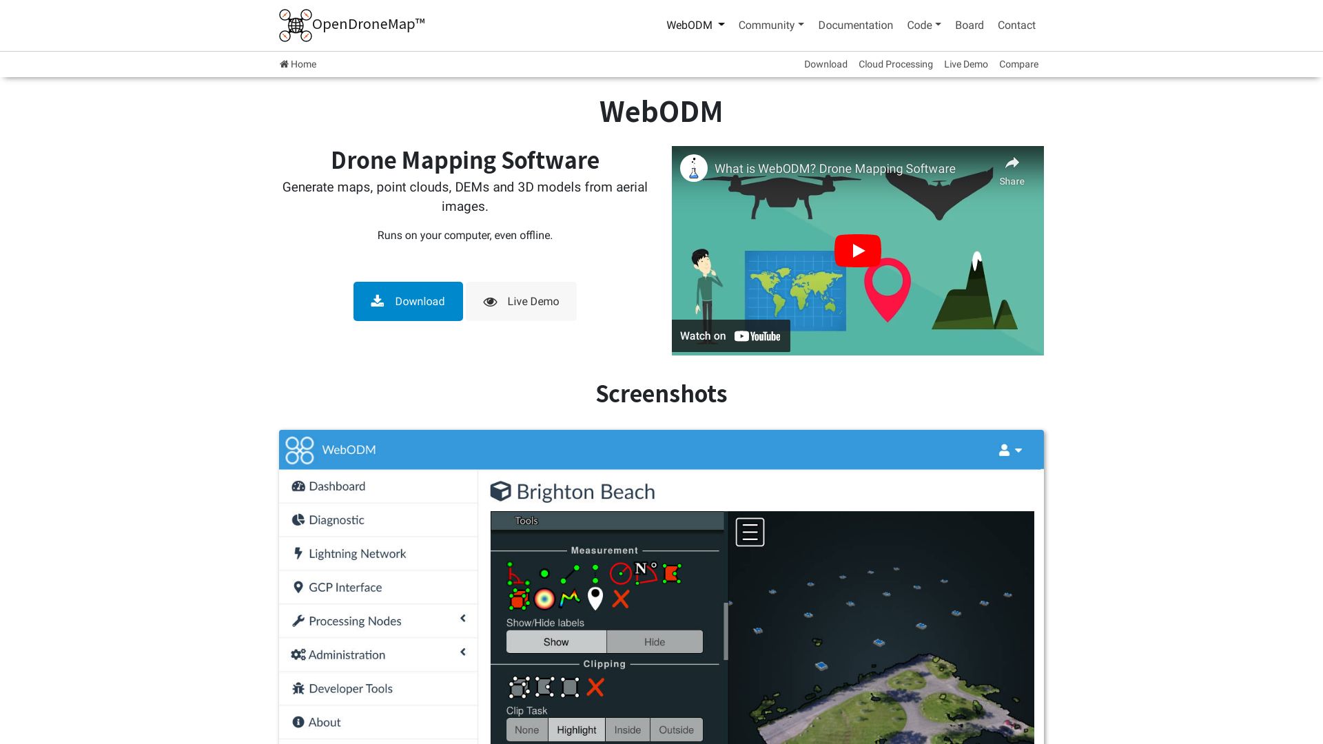
WebODM
Behold WebODM, a sterling product of OpenDroneMap’s ingenuity. This open-source photogrammetry toolkit, released in 2013, processes aerial imagery into maps and 3D models. WebODM’s extraordinary journey, from a jest predicting the future of Geo in 2014 to the landmark of stable release 3.1.0 in March 2023, has been one of relentless pursuit of excellence.
WebODM’s Prized Features
Multilingual Support: WebODM runs beautifully on various platforms – Windows, Linux, MacOS, with software written in multiple languages – Python, C++, JavaScript, Shell, Go.
Integrated Solutions: It’s the engine behind American Red Cross’s in-field Portable OpenStreetMap system and is integrated with NodeODM for parallel processing and optimized efficiency.
User-friendly Interface: Thanks to a Humanitarian Innovation Fund grant in 2016, WebODM has evolved to be remarkably user-friendly.
Expansive Community: This open-source toolkit has attracted a vibrant community which contributes in variety of ways, including testing, reporting bugs, translating, or becoming contributors.
Additional Features
Functions
Native Run
WebODM runs natively on Windows, MacOS, and Linux.
Docker volumes
Files are stored in Docker volumes for easy backup/restore.
Database
WebODM builds on postgres postgis for database settings.
WebODM Downsides
Despite its many merits, WebODM has some limitations as well:
While it does offer comprehensive service for Linux operating systems, its service set-up for other platforms may not be as comprehensive.
As it’s an open-source toolkit, there could be potential inconsistencies in feature development due to its bottom-up approach.
WebODM Pricing
Being an open-source toolkit, WebODM is freely distributed on GitHub, making it an accessible choice for one and all.
WebODM Use Cases
Use Case 1: Geographic Mapping
WebODM, with its capability to transform aerial imagery into maps, serves as an invaluable tool for Geographic Information Systems (GIS) professionals and researchers.
Use Case 2: 3D Modelling
Pioneering a new era in 3D graphics & modeling, WebODM stands as a robust alternative to expensive commercial photogrammetry software.
Use Case 3: Humanitarian Aid
The toolkit’s integration within the American Red Cross’s in-field Portable OpenStreetMap system undeniably reinforces its value in humanitarian efforts.
Zephyr
A full-package solution for 3D reconstructions, Zephyr, crafted by 3Dflow, dares to push the boundaries of photogrammetry. Compatible with an array of technologies, this beast goes where few have gone – fusing video, multispectral, and thermal imagery with aerial and ground photogrammetry to create 3D magic. It’s affordable, potent, and continuous since its inception in 2014.
Zephyr Best Features
Offers a complete photogrammetry suite using various sensors and acquisition techniques
Laser scan data import, registration, and analysis
Full Linux compatibility with Wine assistance
First photogrammetry software on Steam. One of the rare fully-featured, free software
Academically cited, hence carries a strong credibility
Advanced editing tools, orthophoto and DEM generation, GIS, CAD & Survey tools
Zephyr Limitations
Photo limit for free version
Limited GPU support for free and lite versions
Zephyr Pricing
Zephyr’s pricing twist? No hidden fees or binding subscriptions! For the frugal rebel, the free version does the trick. Want more? Grab the Lite version for €199+VAT. The Pro version, for the determined techie, stands tall at €4200+VAT. An alternative subscription model at €250+VAT/month lets you take your pick! A flat rate €149, let’s you take home the full feature suite.
Zephyr Use Cases
Use case 1
Zephyr leverages UAV and ground-based photo/video capture to deliver precise 3D mapping. It’s the perfect weapon for aerial surveyors and geospatial analysts.
Use case 2
Countering the typical constraints of photogrammetry, Zephyr utilizes multispectral and thermal imagery, hailing it an invaluable ally for researchers and environmental scientists.
Use case 3
Supporting multiple camera types, lenses and focal lengths, it’s a companion for photographers and videographers looking to explore a 3D dimension.
ReCap Pro
A brainchild of Autodesk, ReCap Pro fuses the physical world with digital space. The tool leverages 3D scanning to create 3D models from photographs and laser scans, acting as a link between reality and your design applications.
ReCap Pro Top Features
Creation of 3D models from photographs, laser scans with high accuracy.
ReCap Photo service for processing drone imagery into 3D representations.
Generation of point clouds, meshes, and ortho photos.
ReCap Pro SDK allowing reality data incorporation into Autodesk design and construction tools.
Support for side-by-side comparison of RealView and overhead map view.
User-friendly XY axis for coordinate setting in overhead view via compass widget.
High precision GPS technology for photo reconstruction.
Feature
Description
GoPro Image Importing
Supports importing images directly from GoPro.
GPS Tag Support
Allows geolocation and scaling via GPS tags.
RCM, OBJ, FBX Support
Accepts a variety of file formats including RCM, OBJ, FBX formats.
ReCap Pro Downsides
While ReCap Pro brings an abundance of strengths, like all solutions, it has limitations. However, the exact downsides would depend on the specific use case and user preferences.
ReCap Pro Pricing
ReCap Pro offers a variety of pricing plans, with the base tier starting at $26 per month. Users also have the option to test the program with a free trial before making a commitment. Multiple licensing options are available, with monthly, yearly, or 3-yearly plans granting complete feature access.
ReCap Pro Use Cases
Construction and Engineering Projects
ReCap Pro’s capacity to build complex, accurate 3D models from real-world conditions is a huge boon for these industries. It’s an effective tool for data measurement, view, and mark up.
Surveying
In the surveying field, ReCap Pro can streamline traditionally time-consuming procedures. It’s compatible with myriad mobile devices, including iPad Pro, simplifying data collection and interpretation.
3D Design and Modeling
From creating 3D representations of site conditions to integrating these models into digital designs, ReCap Pro is a potent ally for 3D designers and modelers. It supports direct import of images from GoPro and offers comprehensive format compatibility.
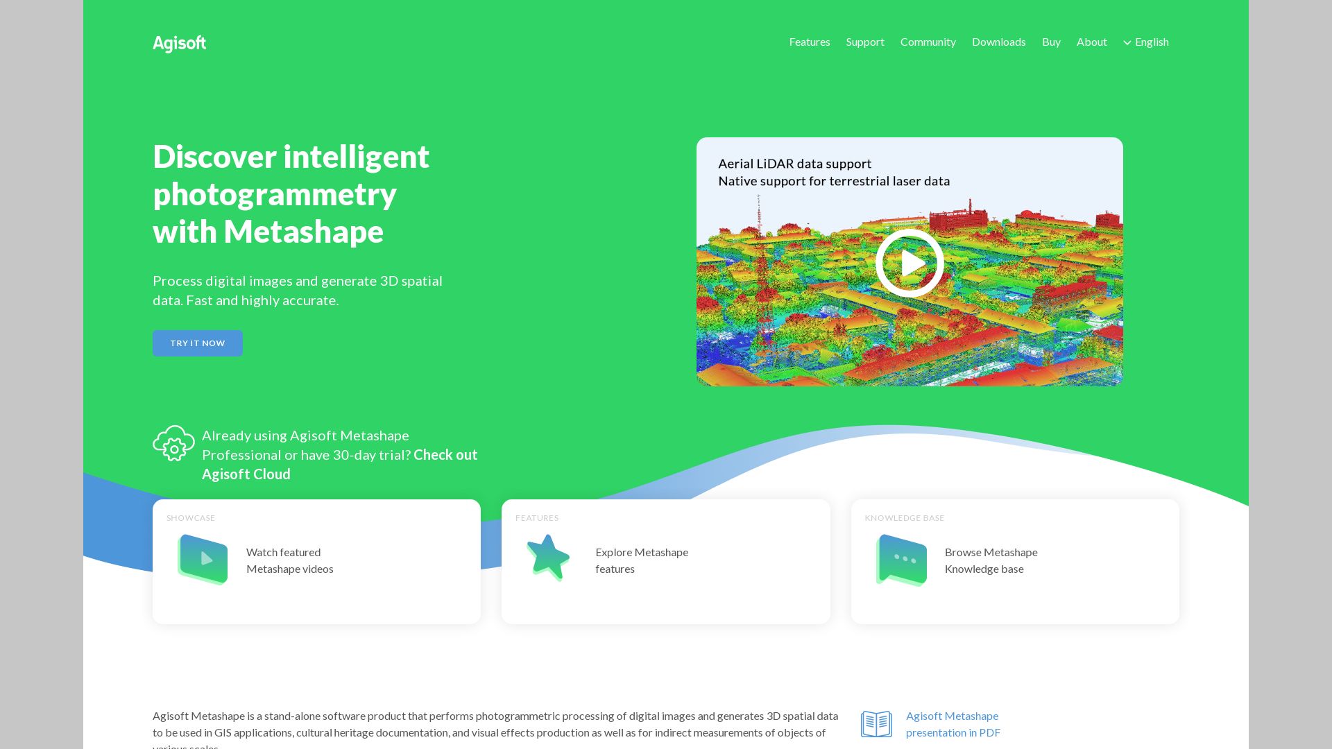
Agisoft
In the realm of 3D Graphics & Modeling, one glimmering star is Agisoft, the makers of the photogrammetric software, Metashape, formerly known as ‘Photoscan’. This software has not only transformed over the years, rising in performance and functionality, but it also caters to a wide array of applications.
Agisoft Best Features
The Metashape, with its refining mesh, creating mesh from depth maps amongst other features, offers an array of tools to the user.
Its GPU usage enhances performance, although discretion is recommended with integrated GPUs.
It includes remarkable tools such as the one that allows direct import of videos, decomposing them into individual frames.
Alluring features like masking tools for background removal and streamlining of dense point cloud make it even more practical.
The software is capable of producing high-quality models, and the Mesh from depth maps clarifies noise, enhancing detail.
Considerations
Details
No limitations
There is no limitation on the number of photos or GPUs used.
Process
The process involves steps like adding photos, photo alignment, optionally creating a dense cloud, building mesh, creating texture, and optional scaling.
Export Formats
Models can be exported in a variety of formats, including Wavefront OBJ, 3D pdf, 3D printing (.stl).
Agisoft Downsides
Although GPU usage enhances performance, discretion is needed when using integrated GPUs.
Agisoft Pricing
The regular price for the Metashape standard edition perpetual license is $179. However, for the seekers of knowledge, Agisoft provides an educational discount, pricing the software at a minimal $59.
Agisoft Use Cases
Use case 1
The Metashape caters significantly to the needs of GIS applications. By delivering high-quality 3D models and offering a variety of data formats, it streamlines GIS workflows.
Use case 2
In cultural heritage documentation, Metashape finds extensive applicability. By creating detailed and clear 3D models, it fulfills the demands of precise preservation and presentation.
Use case 3
For the realm of visual effects production, Metashape is a boon. Its capability to decompose videos into frames and create models from depth maps grants VFX artists a potent tool.
PhotoScan
The potency of the tech world at your fingertips, PhotoScan, breaks boundaries and transforms old-school physical photos into optimized, high-quality digital scans. A Google brainchild, PhotoScan leverages innovative AI and image enhancement algorithms to redefine your photo scanning experience.
PhotoScan Top Features
Fast Scanning: With scanning times between 15 to 30 seconds, your extensive photo collections are digitized in a flash.
User-friendly Interface: The app’s layout is designed with simplicity and intuitiveness in mind – perfect for both tech-pros and beginners.
Unique Image Enhancement: Bid farewell to distortions and glare. PhotoScan produces radiant, crystal-clear scans through its ingenious algorithms.
Smart Rotation : This feature ensures your photo orientation is upheld during the scanning process. Say goodbye to twisted scans!
Compatibility
Robustly tested and found compatible with Android and iOS users above Android version 5.0.
Integration with Google Photos
A pathway to the Google universe, scanned images are automatically saved to Google Photos for streamlined editing, organizing, and sharing.
Cloud Integration
Integrates flawlessly with cloud services for safe storage and sharing of your treasured photos.
PhotoScan Downsides
Dependent on Environment: Optimal scanning output ties with a glare-free environment and camera quality. Without these, scan quality dips.
Resolution Limit: With a peak resolution limit at 72 pixels per inch, blown-up prints may view blurry, though it’s perfect for online sharing.
PhotoScan Use Cases
Personal Photo Archiving
Transform your physical memories into digital realities, offering them an eternal life beyond their paper confines. Archive your cherished moments digitally with PhotoScan.
Museums and Historical Societies
Preserve the significance of historical photographs in rich digital formats using PhotoScan, honoring cultural heritage and history preservation endeavors.
Educational Purposes
PhotoScan invites a stunning opportunity to digitize and share educational pictorials or diagrams, enhancing the learning experience beyond physical boundaries.
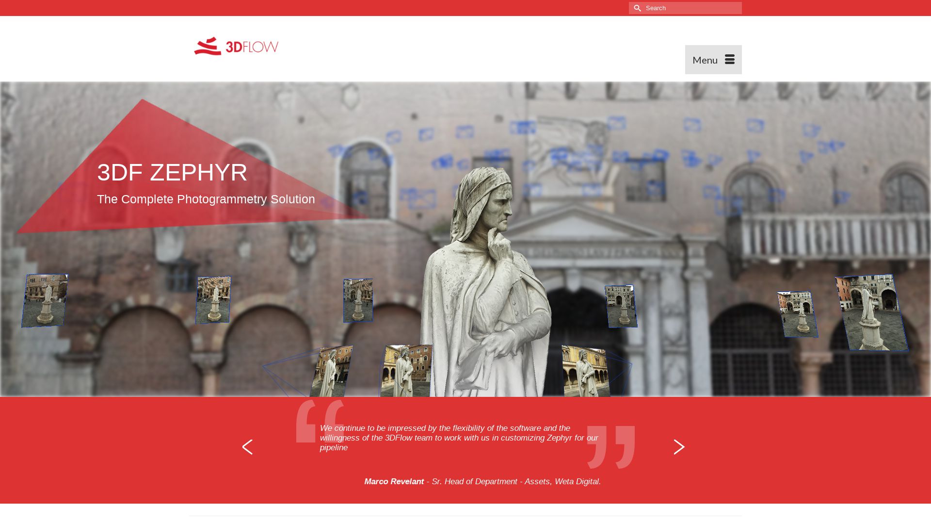
3DF Zephyr
Brought to us by 3Dflow, an Italian software company, 3DF Zephyr is a top-notch photogrammetry application. Renowned for automating the comprehensive process of 3D model reconstruction from photos or videos, it caters to a wide array of camera sensors, drones, and laser scanners. It also offers strong compatibility with Linux through Wine, even though it’s fundamentally a Windows application.
3DF Zephyr Top Features
Swift and automated 3D model reconstruction from photos or videos, even allowing video frames extraction.
Full photogrammetry pipeline functionality, from camera orientation to texture generation, inclusive of post-processing tools, measurements, and 3D modeling.
Multi-GPU support leveraging NVIDIA cards for uncompromised speed and performance.
Capability to produce true orthophotos, Digital Terrain and Surface models.
Comprehensive CAD drawing capability along with the creation of sections, paths, and contour lines.
Generates more efficient texture packing and normal maps.
Features
Benefits
Pro and Aerial Versions
Unlimited photo limit and full-fledged editing tools are offered.
Device Compatibility
Functions with a range of camera sensors, drones, and laser scanners, facilitating versatile usage.
Excellent Scaling
Capability to scale via ground control points and integrate with laser scanning for accurate measurements.
3DF Zephyr Limitations
Free version offers limited capabilities, restricting photo limit to 50 and supporting only single NVIDIA GPU.
Limited exporting and editing tools in the Free version.
The application runs natively on Windows and only functions on Linux through Wine.
3DF Zephyr Pricing
Offering various versions with different capabilities, the Lite version of 3DF Zephyr is perpetually licensed at €199.00 + VAT, while the Professional version is available as a perpetual license at €4200.00 + VAT or a monthly subscription of €250.00 + VAT. The perpetual license includes 12 months of software updates with no hidden subscriptions or fees.
3DF Zephyr Use Cases
Use case 1: Hobbyists and Enthusiasts
3DF Zephyr caters efficiently to the needs of hobbyists and enthusiasts. With its earliest versions published on Steam, the software offers a comprehensive and user-friendly platform for 3D modeling and content creation.
Use case 2: Professionals
For professionals, the Pro version provides full editing tools and the ability to run on multiple GPUs. Enhanced exporting capabilities enhance prototyping and content creation.
Use case 3: Aerial Surveyors and Landscape Designers
3DF Zephyr’s functionality to create true orthophotos, Digital Surface and Terrain models proves advantageous for aerial surveyors and landscape designers.
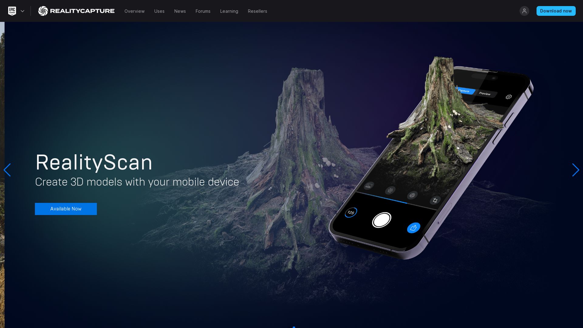
Reality Scan
Let us reveal to you the marvel that is Reality Scan, a dynamic creation of Epic Games that takes your real-world objects and breathes digital life into them, transforming them into exquisitely detailed 3D models.
Reality Scan’s Best Features
Seamlessly turns images captured from various angles into meticulous 3D models.
Provides an option to preview your scans before sharing them with the world.
Simplifies exportation of 3D models to Sketchfab, the vibrant platform renowned for 3D model sharing.
Differentiates itself by serving as an aid in creating objects for video games or other projects, eradication the need for designers to start from zero.
Envisaged to have an Android version by the year 2023, extending its reach to a wider audience.
It is a part of Epic’s suite of tools
Used in more than 50% of next-gen games
Free to download, compatible with iPhone or iPad devices supporting iOS 16.0 and above
Uses photogrammetry for capturing multiple images
Its Project Library is meticulously designed for storing and managing projects
Embraces user feedback and encourages sharing through its active hashtag #realityscan
Reality Scan Limitations
Its technology, while awe-inspiring, is dependent on the device’s compatibility, restricting its use to iOS 16.0 and above.
Given its strengths and weaknesses, it’s crucial to note that different 3D scanning technologies like laser scanning and structured light scanning may offer more benefits in certain scenarios.
While photogrammetry is an effective method for capturing large objects and environments, it’s sensitivity to environmental factors could pose problems.
Although it embraces real-world automation with its real-time capabilities via time-of-flight scanning, fine details could potentially be missed.
Reality Scan Pricing
Behold the magic of digitalization being offered completely free of charge. Yes, you read it right! The Reality Scan app is available for free download.
Reality Scan Use Cases
Use case 1
If you are a game developer looking to bring elements of the real world into your digital landscape, Reality Scan is your perfect companion. Take any object and transform it into a unique 3D model for your gaming universe, creating an elevated, immersive experience for your players.
Use case 2
If you are an architect and need accurate 3D renderings of your projects, Reality Scan can capture your building models with unmatched precision and detail.
Use case 3
For educationists and researchers, Reality Scan offers the ability to enhance your presentations with real-world objects turned into interactive, 3D models, making learning captivating and fun.
ContextCapture
Meet ContextCapture, born out of Bentley Systems’ innovative genius. This powerful software creates accurate 3D models using photos or LiDAR point clouds.
ContextCapture Top Features
Produces high-quality 3D meshes for various infrastructure projects.
Two offerings: iTwin Capture Modeler and iTwin Capture Modeler Center.
Allows for seamless integration with GIS formats in diverse workflows.
Generates precise reality meshes, 2.5D digital surface models, and true orthophotos.
Designed with scalability in mind, thus can handle large-scale datasets.
Cutting-edge machine-learning algorithms for detecting, locating, and classifying reality data.
Feature
Description
Automated 3D Mesh Generation
Automates 3D mesh generation workflow, thus increasing efficiency of operations.
Parallel Processing
Leverages GPU computing, multi-core computing, and advanced bundle block adjustment for faster production.
Cloud-based Service
Offers a Cloud-based service, making it effective for dangerous and hard-to-reach locations.
ContextCapture Limitations
Can be quite complex for novices in 3D modeling.
Limited compatibility with non-Bentley software.
ContextCapture Pricing
While specific pricing details are not provided in the company summary, ContextCapture is touted as more affordable than traditional methods.
ContextCapture Use Cases
Use Case 1: Urban Planning
With its impressive ability to process projects as large as entire cities, ContextCapture is revolutionizing urban planning.
Use Case 2: Infrastructure Development
Thanks to its cost-effectiveness and precision, ContextCapture is a trusted ally in infrastructure development.
Use Case 3: Cultural Heritage Preservation
ContextCapture’s precise 3D models are effectively used to preserve and document cultural heritages.
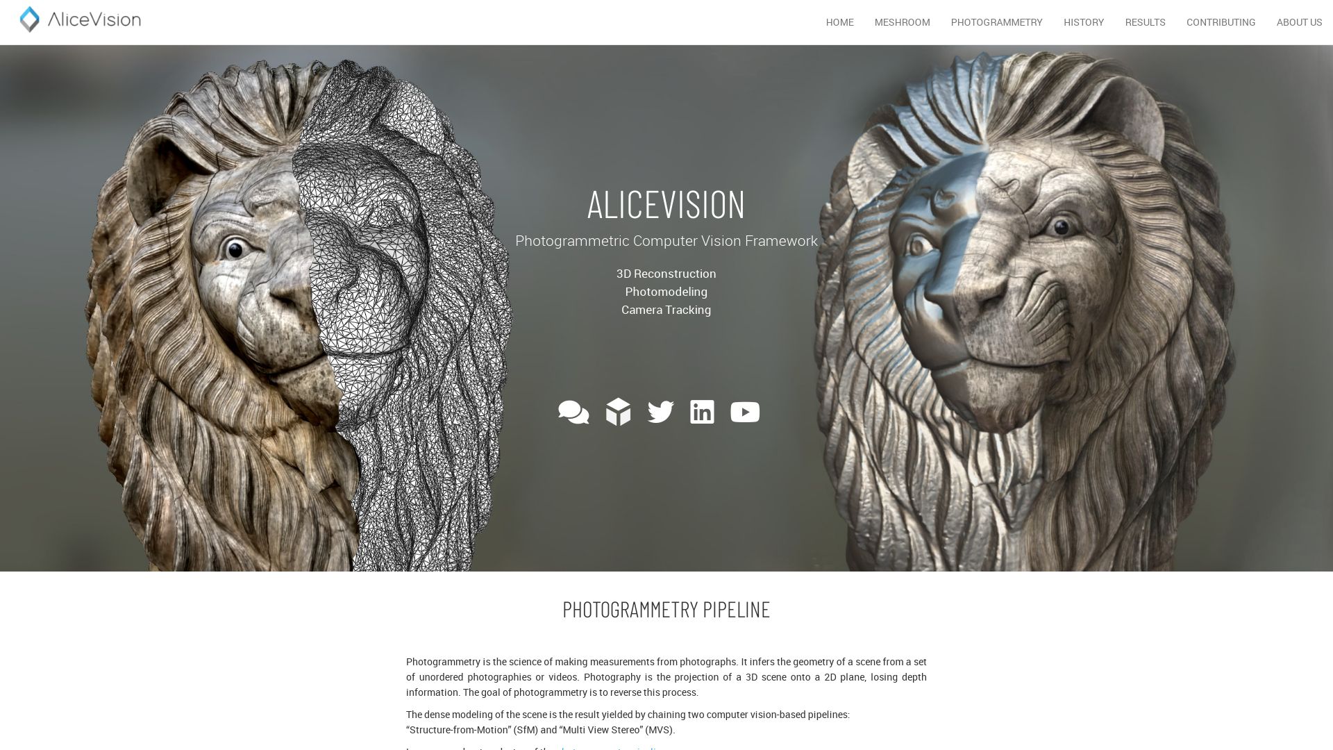
Meshroom
Meshroom, a leading open-source 3D reconstruction software, is built on the robust AliceVision framework. Born from powerful collaboration across academia and industry, it’s a choice software for complex tasks from 3D scanning to photogrammetry.
Meshroom Best Features
Free and open-source, offering high-quality 3D reconstruction
Offers diverse tools, including Blender, Maya, and Houdini plugins
Affords customization to fit studio pipeline
Supports both Windows and OSX/Linux users, promoting accessibility
Targets textured, rough items, making it ideal for photogrammetry
Feature
Description
Real-Time 3D Capture
Primarily designed to work with Microsoft Kinect or Asus’s Xtion Pro Live
Augmented & Live Reconstruction Modes
Offers advanced modelling flexibility
Extended Photogrammetry
Enables large-scale projects like CT scans of the human body
Meshroom Limitations
Requires citation when used for publications
Video inputs yield lower quality results compared to still images
Glossy or transparent objects may need coating for optimal results
Meshroom Pricing
Meshroom is free and open-source, making it an accessible choice for all users.
Meshroom Use Cases
Use case 1: 3D Printing
Meshroom’s focus on textured, rough items makes it a fantastic tool for 3D printing professionals.
Use case 2: Medicine
With its capability for extended photogrammetry, Meshroom stands as a game-changer in medical imaging, facilitating detailed CT scans of the human body.
Use case 3: Video Games & Movies
From real-time 3D capture to live reconstruction modes, Meshroom provides robust solutions suited for creating immersive graphics in video games and movies.
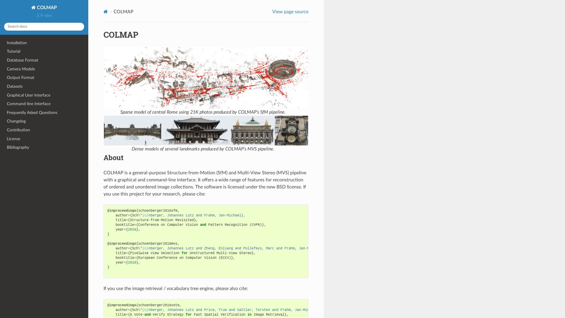
COLMAP
COLMAP, a competent replacement for VisualSFM and CMPMVS processes, delivers robust image-based 3D reconstruction on all major platforms. With excellence in detail preservation, it thrives on high-resolution imaging tasks.
COLMAP Top|Best Features
Superb performance on CUDA compatible graphics cards.
Less time consumption on color mesh reconstruction compared to CMPMVS.
Options for image undistortion and dense reconstruction.
COLMAP is open to community contributions from bug reports to new features, validating every growth as a community endeavour.
End-to-end Pipeline
Capable of managing tasks from image input to generation of sparse/dense/mesh results.
Distinct Exporting
Different text files for cameras, images, and points, ensuring neat data maintenance.
COLMAP Limitations
No direct integration with cloud storage – data must be manually uploaded.
Can be resource-intensive on non-CUDA compatible hardware.
UI experience might be challenging for non-technical users.
COLMAP Pricing
Under the GNU General Public License, COLMAP is freely accessible, making it an economical yet proficient alternative in 3D Graphics and Modeling.
COLMAP Use Cases
Use case 1
High-resolution exterior and interior imaging tasks – due to superior detail preservation and smoother performance with high-res materials.
Use case 2
Large-scale 3D reconstruction projects – with the availability of effective Multi-View Stereo methodologies and a robust pipeline.
Use case 3
Open-source communities and hobbyists – due to its free access, support for broad community contributions, and outsourced commands from the command-line interface.
Logan Bellbrook
Content writer @ Aircada with a knack for nature & AR/VR/XR. Blogging the intersection of tech & terrain.