Agisoft is a renowned provider of photogrammetric software, notably known for Metashape (previously ‘PhotoScan’). Metashape stands out for its high-quality models and variety of tools catering to diverse needs such as GIS applications, cultural heritage documentation, and visual effects production.
Looking for options beyond Agisoft? You can explore alternatives such as 3DF Zephyr, Reality Capture, Pix4D, ReCap Pro, Reality Scan, ContextCapture, and others.
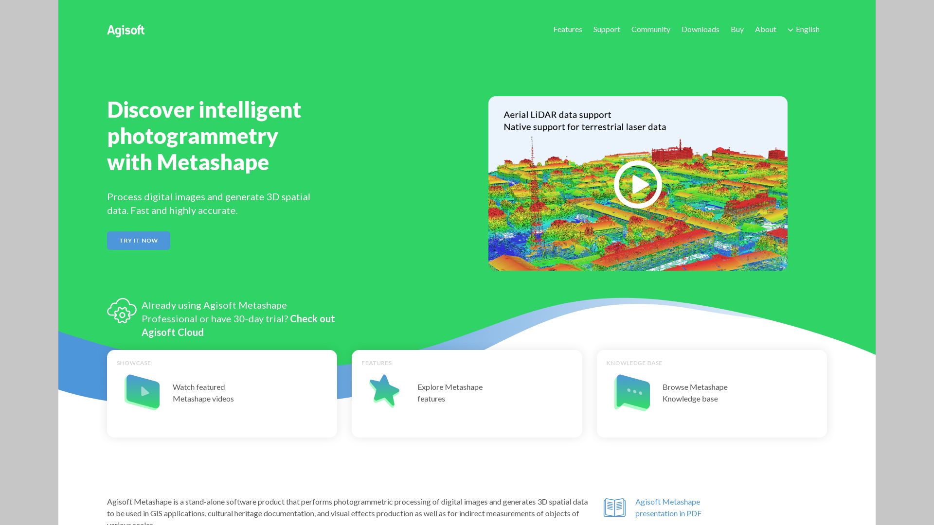
Metashape
The Metashape application by Agisoft is proficient in constructing intricate 2D or 3D models from images. This tool finds application in a multitude of disciplines including GIS, cultural heritage documentation, VFX production, and indirect object measurement.
Metashape Top Features
Unrestricted photo number and GPU usage.
Dark mode included in the latest UI update.
Use depth maps to build detailed 3D models.
Two versions: Standard and Professional, with varying but strong feature sets.
Virtual Desktop compatibility adds flexibility.
Workflow dropdown provides step-by-step guidance.
Automated mesh refinement
Enhancements and improvements automatically take place during processing.
Increased processing speed
Processing times have been considerably accelerated, doubling speed compared to previous versions.
Flexible export formats
Models can be exported in different formats including .obj, .pdf, and .stl.
Metashape Downsides
Meshing noise may need further refinement using Mesh from depth maps.
High accuracy processing times are lengthy, ranging from 9 hours to 19+.
Metashape Pricing
The pricing of Metashape is dependent on the version. The Standard version is priced at $179 while the Professional version comes with a heftier price tag of $3499, both for a perpetual license. An educational discount is available at $59.
Metashape Use Cases
Use case 1: GIS
Metashape provides precise and comprehensive tools for users involved in Geographic Information Systems. The ability to create highly detailed 3D models makes it an excellent tool for landscape analysis and planning.
Use case 2: Cultural Heritage Documentation
For those engaged in the preservation and documentation of cultural heritage, Metashape offers robust capabilities. Complex 3D modeling allows for highly accurate reproductions of artifacts and structures, facilitating their detailed study and analysis.
Use case 3: VFX Production
In the realm of Visual Effects production, Metashape allows artists to create highly detailed, customizable models, enabling the creation of realistic and immersive visual effects for movies, TV shows, and video games. Its compatibility with applications like Meshlab, Cloudcompare, and Sketchfab adds to its usefulness in this industry.
PhotoScan
Step into the digitally enhanced world of PhotoScan, a Google developed app that magically transforms your physical photos into high-definition digital scans leveraging the potential of AI technology.
PhotoScan Top Features
Quality Scanning: With the superior assistance of image recognition and algorithm-based enhancements, Photoscan ensures the utmost quality of scans, even for extensive photo collections.
User-Friendly Interface: The simplistic, intuitive design ensures easy navigation for Android and iOS users alike.
Auto-Pilot Scanning: Expect nothing less than a smooth ride with automatic cropping via edge detection, perspective correction, and smart rotation.
Cloud Integration: A seamless blend of old and new, PhotoScan leverages cloud technology for secure storage and effortless sharing of scanned images.
Feature
Benefits
Glare-free Scans
This app uses smart tech to eliminate glare and distortion in images, striking the perfect balance in your scans.
Composite Imaging
PhotoScan stitches multiple images together to offer a holistic, composite image that’s free from glare.
Google Photos Integration
With a direct link to Google Photos, you get to enjoy flexible editing, easy organization, and seamless sharing of your memories.
PhotoScan Limitations
The image resolution of 72 pixels per inch is suitable for online sharing but may not suffice for certain professional requirements.
Output quality is largely influenced by the phone camera’s value and environmental factors. Best results are in glare-free environments.
PhotoScan Pricing
Delight in the unthinkable! In a time when nothing seems free, PhotoScan offers all it’s sophisticated features at no cost to both Android and iOS users. Yes, it’s open source!
PhotoScan Use Cases
Use case 1
Preserve memories for personal archiving. Breathe a new digital life into your old photos with the precision of PhotoScan’s advanced technology.
Use case 2
In the realm of museums and historical societies, PhotoScan provides a dependable tool for capturing artifact images with authenticity and detail.
Use case 3
Within educational avenues, PhotoScan exposes students to the evolution of technology, facilitating a walk down memory lane with a digital twist.
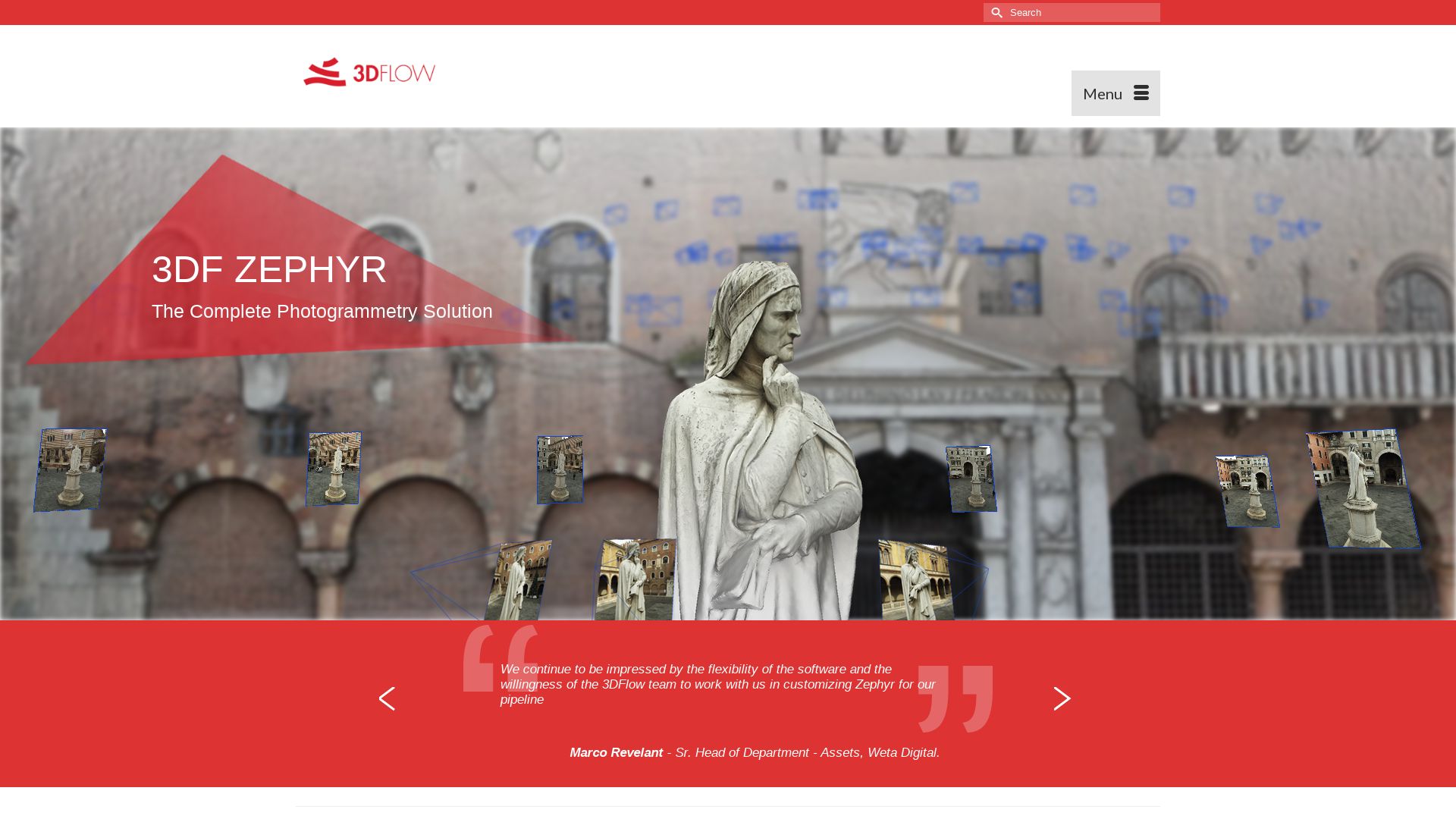
3DF Zephyr
Debuting into the 3D modeling scene in January 2014, 3DF Zephyr has made a name for itself as a complete photogrammetry software offering by Italian tech giant, 3DFlow. This Windows-based application (but compatible with Linux via Wine) automates efficient 3D model reconstruction from photos or videos. Pioneering technology crafted in-house not only accommodates a range of camera sensors, laser scanners, and drones but also integrates the entire production process from camera orientation to texture generation.
3DF Zephyr Top Features
Distinctive multi-GPU support for rapid performance.
Capability to produce true orthophotos, Digital Terrain, and Surface models.
Ability to facilitate CAD drawing, generate sections, paths, and contour lines.
Presents users with the freedom to measure and export data in the preferred viewer’s file format.
Offers a unique auto-masking tool in Lite and Pro versions.
Supports loading of photos and video for speedy capturing, especially useful in motion capture.
Software Versions
Pro, Aerial, Lite, Free
Maximum Photo Limit
Unlimited (Pro and Aerial)
3DF Zephyr Limitations
Free version only allows a 50 photos limit, with single NVIDIA GPU support and limited exporting and editing tools.
The Windows only application restricts use on other operating systems barring Linux.
Can potentially present significant learning curve for hobbyists and enthusiasts.
3DF Zephyr Pricing
Pro version is available at €4200.00 + VAT in the form of a perpetual license or €250.00 + VAT as a monthly subscription. The perpetually licensed Lite edition comes at an affordable €199.00 + VAT. The key advantage here is certainly the absence of subscriptions or hidden fees with perpetual license, complemented by 12 months of updates.
3DF Zephyr Use Cases
Hobbyists and Enthusiasts
3DF Zephyr has created quite a ripple in the hobbyist scene with the distinction of being the first photogrammetry software available on Steam. It’s capability of creating 3D models from photos/videos and accommodating a variety of camera sensors makes it an attractive option.
Professional 3D Modelers
In the realm of professional 3D modeling, the Pro version of 3DF Zephyr is a strong contender. Its advanced features like unlimited photo limit, full editing tools, extensive exporting capabilities, and full NVIDIA GPU support makes it a top choice.
3D Content Creators
The ability of 3DF Zephyr to automate and speed up the 3D reconstruction process using either photos or videos, coupled with a platform to measure and export data according to viewer’s choice makes it an appealing software for content creators.
Reality Capture
RealityCapture (RC) is a heavy-duty 3D modelling software by the Slovak company Capturing Reality. Given its first public release in 2016, RC has grown to be renowned for creating seamless 3D models from unordered photos or laser scans, a technique applied across diverse fields, such as gaming, cultural heritage, full body scanning, mapping, and VR.
Reality Capture Top Features
Variety of program features: image registration, calibration, polygon mesh calculation, georeferencing, and inspection.
Provides an SDK for developers and command line operation for advanced users.
Out-of-core meshing and texturing capabilities – processes are Ramirez performance loss-free.
Offers a versatile UI, similar to video editing software, with modules including Workflow, Alignment, & Reconstruction.
Can export directly to video, still image or 3D-sharing platforms like Sketchfab.
Acquisition
Acquired by Epic Games in 2021 with plans to integrate it into Unreal Engine.
Technical Efficiency
Works effectively on 64-bit machines with 8GB RAM and runs efficiently on mid-level systems.
Limited Graphics Card Support
Though it runs on Nvidia CUDA 2.0+ GPUs, the software has limited Nvidia graphics card support.
Reality Capture Limitations
RC works linearly, meaning processing time doubles as the amount of input doubles.
The software’s demo version is available without export possibilities.
RC software license is limited to 32 CPU cores and 3 GPU cards, necessitating additional licenses for higher configurations.
Reality Capture Pricing
RealityCapture pricing starts at $10 per 3,500 credits and primarily targets businesses looking for robust photogrammetry software.
Reality Capture Use Cases
Use Case 1: Architects
RealityCapture is beneficial for architects who seek to visualize future settings of buildings/houses for finer design or client presentation.
Use Case 2: Game Development
The software finds significant application in the gaming industry with notable clients such as game developer DICE, thanks to the ease of its workflow integration.
Use Case 3: Cultural Heritage Documentation
In the realm of cultural heritage, RealityCapture helps in creating detailed 3D models from laser scans or photographs for richer documentation and conservation efforts.
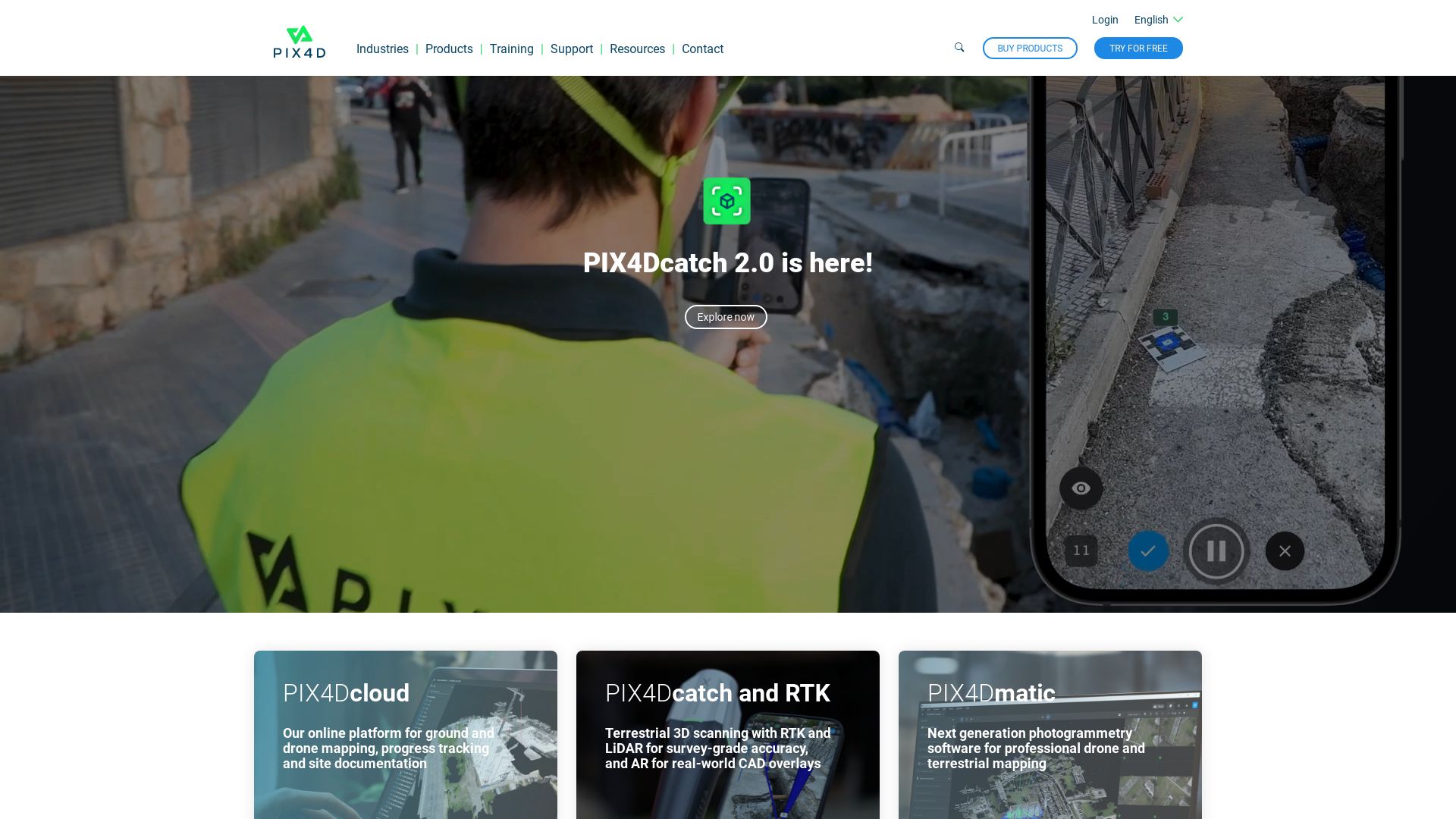
Pix4D
A global pioneer, Pix4D has carved its niche in the realm of drone mapping and photogrammetry software. With a diverse geographical presence, it equips individuals with tools for transforming everyday images into professional 3D maps.
Pix4D Top Features
Pix4Dmapper: A powerful photogrammetry instrument, taking images from varied sources and converting them into accurate 2D maps and 3D models.
Desktop Application: Enables auto-conversion of images, having varied applications across several industries.
Pix4Dreact: Specially built, keeping public safety and emergency response industries in mind to offer critical insights.
Pix4Dcapture: A user-friendly flight planning mobile application coupled with free drone flight planning and Pix4D software integration.
Learning Resources: Access to learning resources and software upgrades to enhance user competencies.
Feature
Benefit
Pix4Dmapper
Convert images into precise 2D maps, 3D models
Pix4Dreact
Facilitates cryptical insights for public safety, emergency responses
Pix4Dcapture
Enables comprehensive flight planning & 3D mapping
Pix4D Limitations
No refunds available for cancellations.
Billing cycle reflects subscription cancellations and changes only at month-end.
Pix4D Pricing
Pix4D employs a subscription model, renewing month-to-month. Accepting credit card, PayPal, and wire transfers for purchases exceeding 1500 units in US$, €, CHF, it does not offer refunds for cancellations. Changes to subscriptions can be made anytime and influence the next billing cycle.
Pix4D Use Cases
Use case 1 – 3D Mapping for Professional Use
Pix4D’s feature-rich photogrammetry software, Pix4Dmapper, aids professionals in generating accurate 2D and 3D maps from various image sources, fostering critical spatial analysis.
Use case 2 – Public Safety & Emergency Response
The unique Pix4Dreact software, designed keeping emergency situations in view, offers key insights by creating rapidly readable 2D maps from drone images.
Use case 3 – Advanced Flight Planning & 3D modeling
Powered by the Pix4Dcapture mobile app, users can navigate through advanced flight planning, large scale mapping, and 3D modeling endeavors.
ReCap Pro
A digital manifestation of the physical world can be in your hands with ReCap Pro, a groundbreaking product from the globally-acclaimed Autodesk. With its reality-based design, it seamlessly bridges between the palpable and the digital, pioneering 3D scanning technology.
ReCap Pro Top Features
ReCap Photo service for processing drone imagery to create 3D representations of varying site conditions and objects.
Support for point clouds, meshes, and ortho photos generation.
Availability of ReCap Pro SDK facilitating the integration of reality data into Autodesk’s design and construction tools.
High-precision GPS technology ensuring accurate photo reconstructions.
Provision of a side-by-side comparison of RealView and overhead map view.
Main Benefit
Specific Feature
Integration Potential
Can be integrated with Bentley’s ContextCapture, Pix4D’s mapping software, Meshroom’s 3D reconstruction software, and IGiS Photogrammetry Suite.
Device Compatibility
Compatible with a range of mobile devices such as iPad Pro and offers Leica BLK360 laser scanner integration for advanced processing.
Data Formats
Accepts RCM, OBJ, FBX formats, and offers 3D, 2.5D orthoview web preview.
ReCap Pro Limitations
No software is void of limitations and ReCap Pro is no exception. We have extrapolated few from the plethora of information available.
Requires significant processing power potentially leading to a machine heavy workload.
May present a steep learning curve for beginners.
ReCap Pro Pricing
With plans starting at a reasonable $26 per month, ReCap Pro extends accessibility to a broad community of users. Complementing this affordability, it also presents a free trial option to help you get acquainted with its inner workings.
ReCap Pro Use Cases
Use case 1: Construction Projects
With the ability to transform real-world conditions into immersive 3D models, ReCap Pro’s robust features empower construction professionals for efficient planning and implementation.
Use case 2: Engineering Processes
For engineers eyeing precise measurements and high accuracy, ReCap Pro presents itself as the perfect tool, providing intricate 3D models crafted from reality capture data.
Use case 3: Survey Processes
ReCap Pro has revolutionized the traditionally time-consuming survey process by integrating its features with a variety of mobile devices, thus enhancing portability and simplifying data measurements.
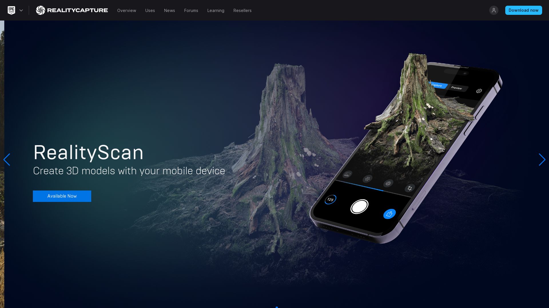
Reality Scan
A tool from the imaginative minds at Epic Games, RealityScan is an innovation in 3D modeling. Transforming images of real objects taken from various angles, it crafts lifelike 3D models ready for the digital world.
Reality Scan Best Features
Real-life object scanning into 3D models.
Preview option before exporting models to Sketchfab.
Enhanced Project Library for handling diverse projects.
An active hashtag#realityscan for creative idea sharing.
Effective usage of photogrammetry in capturing and reconstructing 3D models.
Feature
Beneficial Information
Compatibility
Works with any iPhone or iPad supporting iOS 16.0 and higher
Diversity
Service used in over half of all next-gen games being developed
Pricing
Free app, with potential for a free year at Sketchfab Pro
Reality Scan Disadvantages
Limited versatility: The strength of photogrammetry in capturing large objects or environments might be offset due to sensitivity to environmental changes.
Detail capture: The real-time scanning capability is high, but might not accurately capture finer details.
Reality Scan Pricing
A major coup for budget watchers, the RealityScan app is free to download. Users also have a chance to gain a free year at Sketchfab Pro.
Reality Scan Use Cases
Use Case 1: Gaming
Reality Scan simplifies game design by enabling real-life object scanning into 3D models, thus saving time on creating assets from scratch.
Use Case 2: Architecture
Reality Scan helps architects effortlessly create and manage 3D models of building prototypes and environment structures.
Use Case 3: Education
Reality Scan offers an engaging and intuitive approach for students learning 3D modeling or pursuing projects in computer graphics.
ContextCapture
In the visually tactile realm of 3D modelling, ContextCapture stands as a beacon—a creation from the powerhouse, Bentley Systems. It brings about a renaissance in the creation of accurate and high-quality 3D models using images and LiDAR point clouds.
ContextCapture Top Features
ContextCapture Modeler: delivers top-notch desktop capabilities for creating digital context. This tool is integral to design, engineering, construction, and operations.
Scalability: Capable of handling large-scale datasets, from small entity to entire cities.
Fastest Processing: Renowned for its speed in processing the 3D mesh generation workflow.
Machine Learning Enabled: Uses machine learning to detect, locate and classify reality data – offering an intelligent, automated workflow.
Compatibility: Works in suave unison with Bentley Pointools and Bentley Descartes, promoting a seamless workflow.
Feature
Benefit
Level-of-detail generation
Ensures precise, detailed output, matching the client’s demands.
Cloud-based service
Allows easy data accessibility and collaboration.
Parallel Processing
Speeds up the production process using GPU computing and multi-core computing.
ContextCapture Limitations
May require a moderate learning curve for users who are new to 3D modelling or Bentley software.
Scalability could lead to excessive usage of system resources for larger projects.
ContextCapture Pricing
ContextCapture, in its pursuit to drape superiority, comes at an affordable price, providing much value in comparison to the costly traditional 3D modelling methods.
ContextCapture Use Cases
Use Case 1: Architecture and Construction
With its ability to handle terabytes of imagery, ContextCapture provides architects and construction engineers exact 3D models, aiding their designing processes.
Use Case 2: Urban Planning
Impacting the field of urban planning, ContextCapture revolutionizes the creation of 3D models, assisting in the improvement of infrastructure development.
Use Case 3: Cultural Heritage and Tourism
ContextCapture pays homage to tradition— it effectively maps and preserves historical monuments, aiding cultural preservation efforts.
Patrick Daugherty
Content writer @ Aircada. Merging AR expertise with a love for late-night gaming sessions.