PolyCam is a cutting-edge 3D scanning app offering LiDAR scanning, photogrammetry, and 360-degree panorama capture. Created by Polycam Inc., it caters to various industries from architecture to VFX. Users can enjoy features like 3D capture, AR viewing, and collaborative editing. The recent update includes new AI-based 360 capture and Room Mode for floor plans and furniture placement.
For those in search of alternatives to PolyCam, other options to explore are Metascan, Meshroom, Meshilicious, SiteScape, Scandy Pro, Reality Scan, Reality Capture, MetaShape, WiDAR, Canvas, 3DF Zephyr, Kiri, Pix4D, ReCap Pro, and Agisoft.
PolyCam Pro
PolyCam Pro is a popular 3D scanning app for Android, iOS, and web platforms. Designed to simplify LiDAR scanning and photogrammetry, it allows you to scan your surroundings using devices ranging from mobiles to drones, making it a valuable addition to any professional 3D workflow.
PolyCam Pro Top Features
LiDAR Scanning: Captures your surroundings within minutes on Pro iOS devices. Exports mesh data in various formats.
Photo Mode: Turns your iPhone or Android into a photogrammetry station, capturing the world in extraordinary detail.
Free 3D Models: Access a diverse range of models through the Explore feed for use in 3D art, VFX, and more.
Feature
Description
360 Photos Mode
Allows instant capture of photo spheres and 360 skybox images. Also, it offers AI-based capturing of spherical 360-degree images on devices without 360-degree cameras.
AR videos creation
Beneficial for e-commerce, enabling the creation of augmented reality videos.
Room Mode
Uses LiDAR technology to capture precise measurements and includes object recognition to add generic furniture pieces.
PolyCam Pro Limitations
The Android version does not yet include the Photo Mode feature, limiting its capabilities on such devices.
Collaborative tracking, scanning, and meshing are accomplished through an external software, Roux, which might present a learning curve for beginners.
PolyCam Pro Pricing
PolyCam Pro offers a free version with compelling features, and a paid Pro version that features watermark-free exports for just $39.99 per year.
PolyCam Pro Use Cases
Use Case 1 – Professional 3D Workflow
With its streamlined system of scanning and processing, PolyCam Pro fits seamlessly into professional workflows for floor plan creation, architectural renderings, and VFX and filmmaking. The availability of free 3D models aids in creating sophisticated 3D art and scene building.
Use Case 2 – Interior Designing and Architectural Planning
PolyCam Pro is a boon for contractors, interior designers, and architects. Its Room Mode features LiDAR-based scanning and object recognition to generate detailed and accurate floor plans. It greatly simplifies the process of creation and planning for home improvements and architectural model making.
Use Case 3 – E-Commerce
With its AR video creation feature, PolyCam Pro is a game-changer for e-commerce businesses that can now provide more engaging and interactive product showcases. Plus, the ability to globally share captures extends the tool’s utility to remote and collaborative work environments.
Metascan
Embark on an exciting journey through the realm of 3D and LiDAR scanning with Metascan.ai, a groundbreaking platform that takes spatial imaging to the next level. Operating on any iPhone or iPad from 2015 that runs iOS 15 or above, this app has been designed to elevate your scanning experiences to new dimensions. Strap in and let’s dive deeper.
Metascan Top|Best Features
LiDAR Mode: Harness the power of LiDAR scanners for on-device processing.
Photo Mode: Utilize unique photogrammetry servers and secure your privacy with photos deleted post processing.
Diverse File Format Support: Work seamlessly with USDZ, OBJ, glTF, FBX, STL mesh formats and LAZ, PLY, XYZ point cloud formats.
Advanced Security: A noteworthy collaboration with OPSWAT fuels up malware detection capabilities, providing daily access to thousands of malware samples.
Metascan Pro:
Unlock better detail in scans, access all supported file formats, and enjoy Metascan Web access.
A commit to robust security with 40 antivirus/anti-malware engines for file scanning.
Metascan Limitations|Disadvantages
A device with LiDAR Scanner is necessary to invoke the LiDAR Mode.
Metascan requires an active internet connection.
Scanning is restricted to files only; website or blog URLs cannot be scanned.
The maximum file size for scanning is capped at 40MB.
Only one file can be scanned at a time.
Metascan Use Cases
Use case 1
3D modelers and animators will find Metascan invaluable for quickly and accurately crafting 3D models with real-world textures and light accuracy using various mesh and point cloud formats.
Use case 2
For security analysts, the partnership with OPSWAT gives them a powerful tool to aid malware detection by offering thousands of malware samples daily and multi-scanning technology.
Use case 3
App developers can leverage Metascan to inspect and determine the safety of files by scanning them against 40 virus/malware detection engines.
Canvas
Imbued with the ability to render dynamic graphics in an HTML document, Canvas is a flexible and robust tool allowing for comprehensive on-the-fly graphic creation using JavaScript. It holds a fortified position within the HTML5 realm, embodying potential for diverse applications.
Canvas Top Features
Ability to create complex paths, boxes, circles, text, and images.
Provides interactivity, animations, and gaming applications.
Enabled with multiple
Support for Direct pixel manipulation and Transformations through Canvas API.
Ability to create both linear and radial gradients.
Rich drawing styles for enhancing graphic quality such as lineWidth, lineCap, lineJoin, etc.
RenderingContext
RenderingContext enables Canvas to display its capabilities on an initially vacant space.
HTML Canvas API
This feature lets you manipulate objects at the pixel level, offering much-needed precision in graphics rendering.
Path Features
Path features offer vast possibilities in graphic design, with the ability to create diverse shapes and augment styles.
Canvas Limitations
Lack of native support in older versions of Internet Explorer – requires ExplorerCanvas script for compatibility.
If overused, can potentially slow down the webpage performance.
Canvas Use Cases
Use case 1: Gaming Applications
Thanks to its advanced features such as animation and interactivity, Canvas is ideal for developing immersive online games.
Use case 2: Data Visualization
Canvas excels in rendering dynamic graphical data presentations, making it the go-to option for visualizing complex datasets.
Use case 3: Web Design
With its capacity for drawing high-quality graphics and patterns, Canvas provides vital support in creating visually striking website designs.
3DF Zephyr
3DF Zephyr, developed by 3Dflow, is a comprehensive photogrammetry software that automates the construction of 3D models with the help of camera sensors, drones, and laser scanners. Released in January 2014, it includes a complete photogrammetry pipeline and supports multiple GPUs for high-speed performance.
3DF Zephyr Top Features
Integration of photogrammetry and laser scanning tools within a single application.
Capability to create true orthophotos, Digital Terrain and Surface models.
Allows precise CAD drawing, sections, paths, and contour lines generation.
Features multiple versions to suit different user preferences: Free, Lite, Pro, Aerial.
Auto-masking tool in Lite and Pro versions enhance picture processing.
Top Features
Advantages
Automatic generation of normal maps
Improves texture and realism of 3D models
Video capture facilities
Speeds up the capturing process
Integrated ground-control points
Facilitates scaling and integration with laser scanning
3DF Zephyr Limitations
Restricted to Windows OS. Can work on Linux with Wine, but compatibility may be an issue.
Free version has a 50 photos limit and single NVIDIA GPU support, which may limit utility for professional and extensive use. Also, the free version has limited exporting and editing tools.
Real-time terrain generation capability, essential for outdoor augmented reality applications, is not specified.
3DF Zephyr Pricing
3DF Zephyr provides four different versions: Free, Lite, Pro, Aerial. The Lite version is available at €199.00 + VAT with perpetual license, while the Pro version comes at €4200.00 + VAT. Subscriptions or hidden fees in perpetual license are not included, and each comes with a 12-months updates pack. The monthly subscription of Pro version costs €250.00 + VAT.
3DF Zephyr Use Cases
Hobbyists and Enthusiasts
With its intuitive interface and robust capabilities, 3DF Zephyr is an apt tool for amateurs getting started with photogrammetry, who also gain the advantage of an unlimited photo cap on Pro and Aerial versions.
Professional Grade Image Processing
From video loading to auto masking and ground control points integration, 3DF Zephyr provides professional-grade image processing, enabling creation of high resolution, detailed, and precise 3D models.
Laser Scan Registration
The Pro version bundles 3DF Scarlet, a dedicated software for laser scan registration, making it suitable for applications requiring precise measurements and detailed scanning.
Kiri
Enter the arena of Kiri, a titan in the 3D scanning industry, known for harnessing the power of photogrammetry and artificial intelligence for lifelike 3D modeling. Kiri Engine will soon enhance its product repertoire with the Neural Radiance Fields technology, promising a major overhaul to the 3D reconstruction algorithm world.
Kiri Top Features
Upcoming Neural Radiance Fields tech for an all-encompassing 3D digitization akin to Google Earth
AI-driven estimation of featureless parts for cleaner 3D models
Ease of use with a free 3D scanner app compatible with both Android and iOS
Affordable premium version offering up to 200 photos per scan
Responsive and engaged developers backed by a dedicated Discord community
Feature
Description
Photogrammetry
Faithful recreation of an object’s exterior for game graphics and digital art
Server-side processing
No need for high-powered PC; processing occurs on KIRI’s servers
Future Features
Aligning scans, adding photos to a project, basic model editing within the app
Kiri Limitations
App requires signup for access to servers
Inconvenience of exporting scan via copying download link and sending to oneself
Free version limited to 70 photos per scan
Kiri Pricing
Kiri boasts a dual offering: a free version with up to 70 photos per scan and a premium version allowing up to 200 photos per scan along with faster server speeds and unlimited exports.
Kiri Use Cases
Use case 1: Gaming and Digital Art
With Kiri’s lifelike recreation of objects, game developers and digital artists can introduce more realism into their graphics. The photogrammetry technology at play here enables highly detailed 3D models.
Use case 2: 3D Modeling for Mechanical Engineering
Architects and engineers can benefit from Kiri’s clean 3D models. The upcoming Neural Radiance tech will potentially further simplify their visualization and design processes.
Use case 3: Augmented Reality
In the realm of augmented reality, Kiri’s photogrammetry prowess can aid in creating lifelike environments while the future integration of Neural Radiance Fields promises to revolutionize 3D digitization.
Pix4D
Meet Pix4D, a global frontrunner in drone mapping and photogrammetry software. With offices stretching from Switzerland to San Francisco, Shanghai to Denver, Pix4D embellishes the landscape of professional 3D mapping through a powerful convergence of artistry and algorithmic precision.
Pix4D Top Features
Pix4Dmapper: A transformative software that morphs images into meticulous 2D maps and 3D models.
Versatility and Range: Leverages image data from diverse sources, whether hand-captured, drone-acquired or plane-captured.
Pix4Dreact: Custom-built for the public safety and emergency response sectors to decrypt complex visuals into actionable insights.
Pix4Dcapture: A state-of-the-art flight planning mobile app, seamlessly integrated with Pix4D software for streamlined mapping and 3D modeling.
Feature
Description
Conversion Precision
Images are converted to georeferenced 2D mosaics, 3D models and point clouds for precise aerial mapping.
Flexible Adjustment
The Pix4Dcapture app allows for alteration in flight plan and parameters to suit various needs.
Customer Support
Inclusive personal customer support and access to a rich repository of learning resources
Pix4D Limitations
No refund policy in place for cancellations.
Subscription and licence downgrade changes only reflected after the billing cycle ends.
Pix4D Pricing
Payment for Pix4D licenses is accepted through credit card or PayPal, with wire transfers applicable for payments above 1500 US$, €, CHF. Subscriptions are monthly, inclusive of Software upgrades and Support (S&U), and can be cancelled anytime before renewal.
Pix4D Use Cases
Use case 1 – Emergency Response
Pix4Dreact has been strategically designed for the public safety and emergency response sectors. By extrapolating 2D maps from drone images, it effortlessly translates complex aerial visual data into clear, actionable insights.
Use case 2 – Professional Mapping
Pix4Dmapper empowers professionals by transforming images into precise 2D maps and 3D models, flexibly catering to various industries’ needs.
Use case 3 – Streamlined 3D Modeling
Pix4Dcapture, Pix4D’s robust flight planning mobile app, integrates seamlessly with the Pix4D software, providing free drone flight planning and facilitating easy image acquisition for 3D modeling.
ReCap Pro
An influential product of Autodesk, ReCap Pro is the quintessence of digital and physical fusion. Specializing in 3D scanning and models creation, it streamlines collaboration across teams, providing exceptionally accurate representations of the physical world.
ReCap Pro Top Features
Integration: ReCap Pro SDK allows embedding of reality data into Autodesk design and construction tools.
Precision: Utilizes high-end GPS technology for highly accurate photo reconstruction.
Comparison: Dual view of RealView and overhead map view facilitates greater comprehension of site conditions.
Versatility: Compatible with a variety of mobile devices and formats, it supports data measurement, view, mark-up, and advanced image importing.
Feature
Details
GoPro image import
Supports high-quality images for better model accuracy.
GPS tag support
Facilitates geolocation, scaling of models for realistic representation.
Orthoview web preview
Offers 3D, 2.5D previews for better clarity and understanding of models.
ReCap Pro Limitations
Requires a steep learning curve.
Customization options can be overwhelming for new users.
High-precision GPS dependent, inefficacious in areas with poor satellite connectivity.
ReCap Pro Pricing
With a competitive pricing model starting at just $26 per month, ReCap Pro stands as an affordable solution. Free trials are also available, catering to those wanting to test out the robust software before making a purchase. All-feature access is provided across all plans.
ReCap Pro Use Cases
Use case 1
In construction, ReCap Pro simplifies the complex survey process and brings accuracy to design with reality capture technology. Alterations can be made effortlessly, enabling rapid remodeling and reconstruction.
Use case 2
For design teams, collaborative efforts are seamless through the consistent ReCap Photo service. Real-world conditions are transformed into accurate 3D models, thus facilitating design decision making.
Use case 3
In engineering projects, ReCap Pro acts as a conduit between the real-world and applications. By utilizing data from real-world scans, more complex yet accurate designs can be achieved.
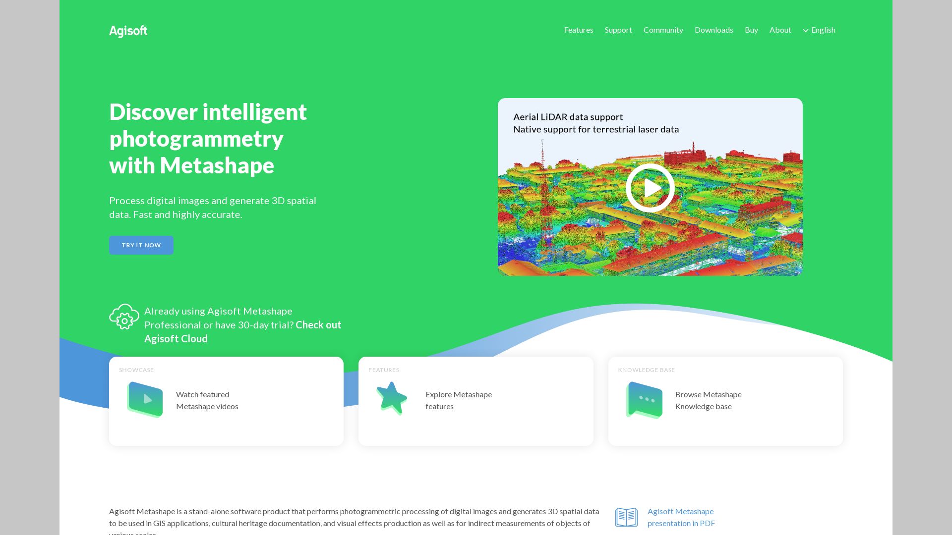
Agisoft
Enter the dynamic world of Agisoft, globally celebrated for their advanced photogrammetric software: Metashape, previously coined as ‘Photoscan’.
Agisoft’s Top Features
Revolutionary GPU usage to significantly enhance performance
Comprehensive suite of tools including refining mesh, depth map creation, and more
Includes tool for direct video import, breaking videos down into individual frames
Background removal capability with masking tools, enhances point cloud efficiency
Models Creation
Capability for creation of 360-degree models with marking, scaling, removing unwanted points, and cropping tools for comprehensive customization
Export Options
Variety of formats available for exporting models, including Wavefront OBJ, 3D pdf, and 3D printing (.stl)
Trial Period
30-day fully functional trial provision for users to experience Agisoft’s potential
Agisoft Limitations
Integrated GPUs can cause performance issues. Discretion is advised while using them.
While there is no limit on number of photos or GPUs used, handling extensive datasets requires hardware with substantial processing capacity
Agisoft Pricing
The standard edition perpetual license of Metashape is priced at $179, with a discounted price of $59 for the educational sector.
Agisoft Use Cases
Educational Technology
Strongly favored within edtech, Agisoft offers unparalleled opportunities to create and demonstrate 3D models, as evidenced by the Trinity community’s work on Sketchfab.
AR/VR Applications
Agisoft’s offerings prove indispensable in the realm of AR/VR, bolstering immersive technology experiences through highly detailed 3D models.
3D Printing
The software’s potential extends to the 3D printing industry, thanks to a vast suite of tools and a variety of export formats.
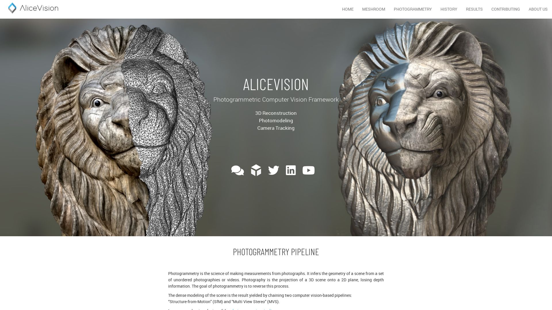
Meshroom
Stepping into the limelight as a versatile alternative for 3D reconstruction is Meshroom. This free, open-source software is developed on the dynamic AliceVision framework, fostering a harmonious collaboration between industry and academia for delivering robust algorithms. Delve into the heart of Meshroom’s story, which trails back to a partnership between the IMAGINE research team and Mikros Image in 2010, and its evolution characterized by several high-profile collaborations.
Meshroom Top Features
Extensive Algorithmic Scope: Offers a plethora of robust quality algorithms for intricate 3D reconstruction and camera tracking.
Tools for Creativity: Meshroom provides plugins for Blender, Maya, Houdini, and more, thereby empowering your creative pipeline.
Flexible Inputs: Besides still images, Meshroom supports video input, although the former provides superior quality.
Integration: Designed to integrate seamlessly with render farm systems, enabling customization for studio pipelines.
Feature
Description
Enhanced Photogrammetry
Enables large-scale projects like CT scanned human body
Augmented Live Reconstruction Modes
Aims at real-time 3D capture using Microsoft Kinect or Asus’s Xtion Pro Live
Adaptive Workflows:
Eases import of images, adjustment of project settings, and start/stop computation.
Meshroom Limitations
Glossy Limitation: Object surface condition can limit photogrammetry, necessitating the coating of glossy or transparent objects for better results.
Video Input Quality: While video input is accepted, it yields lower quality compared to still images.
Meshroom Pricing
Aligning with the ethos of open-source, Meshroom is entirely free to use, further democratizing access to professional-caliber 3D reconstruction technology.
Meshroom Use Cases
Use case 1: 3D Printing & Scanning
Meshroom’s detailed 3D reconstruction and photogrammetry capabilities are invaluable for those in the fields of 3D printing and scanning.
Use case 2: Medicine
In the medical field, the possibility of creating large-scale projects such as CT scans of human bodies can lend a vital edge to diagnostics and treatment.
Use case 3: Geomatics
Providing robust algorithms for spatial data analysis, Meshroom is a potent tool for professionals in the realm of geomatics.
Meshilicious
The first venture into PC casing by Ssupd (Sunny Side Up Design), a collaboration of Lian Li and NCASE, is a wonder named Meshilicious. It’s a Small Form Factor (SFF) case with a compact style and the performance of a tower is indeed the best of both worlds.
Meshilicious Top Features
Compact Design: A Mini-ITX case with dimensions of 245 x 166.4 x 360mm, making it just 14.6 litres in internal capacity.
Hardware Compatibility: Supports GPUs up to 366mm, including RTX 3090, A4000, 3060 Ti, or 3070. Offers CPU options of i7-12700k or i5-13600k.
Capacity: Support for 64GB 3,000MHz DDR4 RAM.
Connectivity: Inclusive of 5x USB 3.1, 2x USB 2.0, 2x Ethernet Ports, HDMI and Display Port providing a maximum resolution of 4096×2160 @60Hz.
Customizability: Provides custom modification options—mATX mainboard, radiator, and PSU repositioning.
Cooling: Featuring a pre-installed 240MM Water Cooler.
Feature
Description
Storage Design
Meshilicious provides flexible dual-storage design with M.2 SSD and a 2.5inch HDD or SSD in combination.
RGB Lighting
Meshilicious features addressable RGB modes for an immersive lighting experience.
Motherboard Support
Compatible with Asrock B560-ITX/AC, Asrock Z590m ITX/AC, and MSI Z590i Unify motherboards.
Meshilicious Limitations
Size Constraints: As a result of the minimalistic design, users may be limited by the size of the components they can install.
Limited Internal Space: Due to the compact design, there might not be enough room for additional or larger components.
Cooling Limitations: Although it contains a water cooler, some high-intensity gaming systems might demand better cooling options.
Meshilicious Use Cases
Use case 1 – Gaming
With support for high-end GPUs like RTX 3090 and a pre-installed water cooler, Meshilicious makes an excellent choice for creating a compact, powerful gaming PC.
Use case 2 – Multimedia Workstations
With support for the i7-12700k and 64GB DDR4 RAM, professionals requiring robust workstations for multimedia tasks can rely on the performance capabilities of Meshilicious.
Use case 3 – Home and Office use
While delivering ample power for common tasks, the compact size of Meshilicious makes it winner for home and office environments where space is a premium.
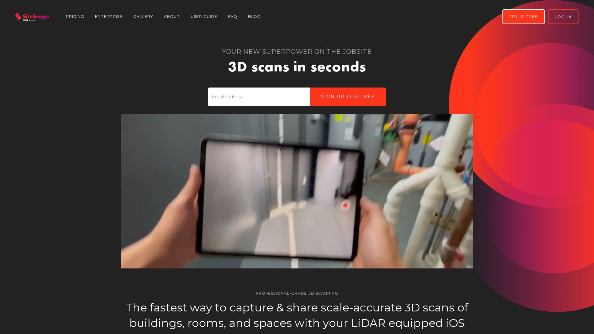
SiteScape
SiteScape is a prominent LiDAR 3D scanning app compatible with Apple’s iPad and iPhone Pro. Primarily designed for the architecture, engineering, and construction sectors, it delivers scanning accuracy within an inch. The app excels at capturing as-built and existing conditions, and it allows easy management of your account.
Top Features of SiteScape
Exportation of scanned datasets in .PLY or .E57 file formats, with forthcoming RCP integration.
Compatibility with CAD, BIM, and point cloud processing software, which ensures seamless integration into existing workflows.
Cutting-edge Cloud storage and sync for Pro account users, allowing access to your scans from anywhere.
Advanced options to stitch multiple scans together, offering greater accuracy.
Feature
Benefit
Sketchfab support
Allows easy sharing of scanned models.
Pro account features
Allows for comment additions in 3D models, creation of sharable links for 3D models, and concurrent storage of multiple scanned models in the cloud.
WebGL exportation
Possibility of LiDAR scanning with the iPhone.
SiteScape Limitations
Subscription-based Pro account with a cost, unaffordable for some users.
Limited to Apple’s iPad and iPhone Pro devices that feature LiDAR technology.
Requires user verification via email, adding an extra step before usage.
Pricing of SiteScape
The app is free to download on the App Store. However, the Pro account operates on a subscription basis at $49 per month or $468 per year, offering unlimited scans in the cloud along with advanced features.
SiteScape Use Cases
Use Case 1: Architecture and Infrastructure
SiteScape bridges the gap between the physical and digital worlds in architecture and infrastructure planning. Whether you’re at the stage of early design or resolving on-site problems, SiteScape’s superior scanning abilities can be instrumental.
Use Case 2: Construction and Engineering
In construction and engineering, accurate spatial representations are crucial. SiteScape’s scans are accurate within an inch, making it ideal for capturing as-built conditions on the job site.
Use Case 3: Web Developers
Web developers can import SiteScape’s models and manipulate them using Three.js for Web Development scope. Route to greater flexibility and resourcefulness with SiteScape’s compatibility for code manipulation.
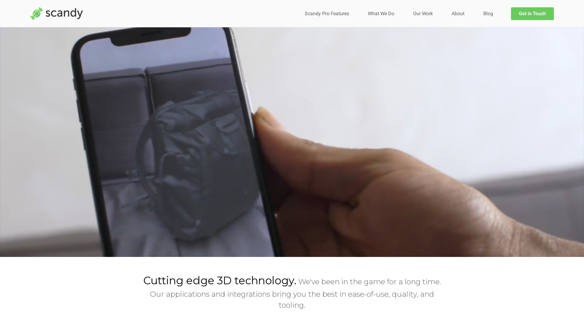
Scandy Pro
Established in 2014, Scandy Pro is an iPhone and iPad-compatible application designed to perform state-of-the-art 3D scanning. Hinged on the technology of photogrammetry, Scandy Pro enables users to create intricate 3D models from 2D photos. Everything from scan processing to storage occurs on-device, making Scandy Pro entirely private and non-reliant on cloud storage. Pricing packages start from $1.99 a week.
Scandy Pro Top Features
It offers a high capture resolution of 0.3mm details within a modest 0.25m bounding box.
The app delivers on-device rendering, eliminating the need for cloud registration or storage.
Potential to export scans in different formats (.stl, .ply, .obj, .glb, .usdz) and scales (m, cm, mm, in).
Scandy Pro’s compatibility with various programming languages, including C++, Java, and Unity, is an added advantage for coders.
The application is continuously receiving updates, enabling it to simplify and streamline 3D scanning processes.
Being GPU intensive, it may cause a slowdown after multiple successive scans.
A potential drawback is its inability to provide cloud storage or backups.
The app does not store or backup scan data, making the data irretrievable once deleted.
Scandy Pro Pricing
The pricing packages are structured into various tiers: $1.99/week, $5.99/month, and $49.99/year for unlimited scans, and individual scan exports can be bought separately.
Scandy Pro Use Cases
3D modelers
With its ability to capture detailed 3D scans and transform 2D photos into models, Scandy Pro is a beneficial tool for 3D modelers, creators, and animators looking to implement real life objects into their designs.
AR developers
Scandy Pro can be a boon for AR developers given its features that allow seamless integration with programming languages such as C++, Java, Unity, ensuring their workflow is streamlined.
Private users
For private users interested in 3D scanning and model creation for personal or home projects, Scandy Pro offers a simple, nifty solution. It is particularly beneficial for those who place high importance on privacy since all processing and storage occur on-device.
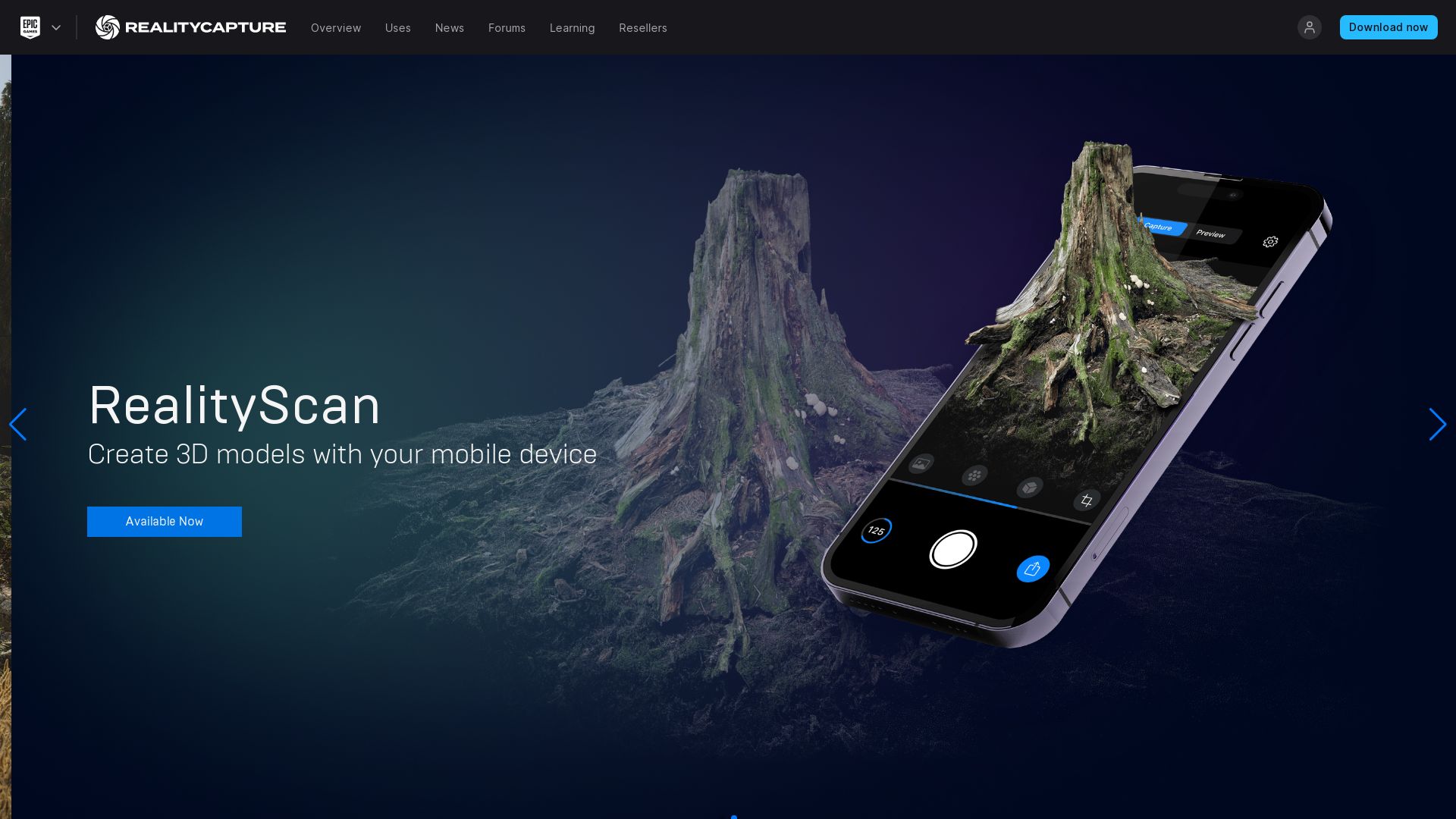
Reality Scan: A Cutting Edge in 3D Imaging
From the groundbreaking firm Epic Games, we present to you: RealityScan. This pioneering app ushers in a new epoch in spatial imaging, enabling the transformation of mundane objects from your everyday life into immersive 3D models.
Topnotch Features of Reality Scan
An interactive preview before refining your creation into the Sketchfab platform.
A promise of a full-year access to Sketchfab Pro for potential users.
An integral component of Epic’s repertoire of tools for 3D object creation.
An Enhanced Project Library
An intuitive workspace for managing and storing your projects.
Active Hashtag
Join the creators’ conversation with #realityscan and witness inspiration unfolding.
Unparalleled Tech
Armed with photogrammetry, Reality Scan captures multiple images and reconstructs 3D models with exceptional precision.
Confronting Limitations
While undeniably powerful, RealityScan is not without its challenges. Below, we identify potential hurdles users might encounter:
Sensitivity to environmental factors may limit photogrammetry’s ability to accurately capture large objects or environments.
The Real-Time capabilities of Time-of-Flight scanning may not capture fine details with high precision.
Reality Scan Pricing: A Priceless Experience
Can we truly put a sticker value on ground-breaking innovation? Through their generosity, Epic Games gives you access to Reality Scan – free of cost.
Reality Scan in Action
Use case 1: Gaming
RealityScan elevates the gaming experience, breathing life into game projects with stunningly real 3D objects.
Use case 2: Design
Eliminate time-consuming renditions from scratch. RealityScan empowers designers to build realistic projects efficiently.
Use case 3: AR Development
Time-of-flight scanning is poised for powering AR and gaming applications with its real-time capabilities.
Reality Capture
Standing at the forefront of spatial imaging technology is none other than RealityCapture. Developed by Slovakian tech startup Capturing Reality in 2013, this next generation sensation burst into the limelight in 2016. Since birth, RealityCapture has set a blazing trail, pushing boundaries to such an extent that even the tech conglomerate Epic Games could not resist but to swoop in for an acquisition in 2021.
Reality Capture: Top Features
Image registration and calibration: a feature of the highest order that ensures flawless 3D models.
Seamless meshing, colouring and texturing: this feature works with minimal performance-loss, bringing you jaw-dropping results.
Command line operation and software developer kit: programmers rejoice!
More Features
Field of Application
Georeferencing
Surveying, mapping, and VR
Inspection
Full body scanning and gaming
RealityCapture: Limitations
Limited support for Nvidia graphics card.
Promo license provides no technical support and includes a photo limit of 2500.
Enhancement required for hard surfaces.
Reality Capture Pricing
RealityCapture is a sight for sore wallets, priced at a reasonably priced $10 per 3,500 credits.
Reality Capture Use Cases
Use Case 1: Gaming
Game developer DICE is a testament to the wonders that RealityCapture can work in the gaming industry.
Use Case 2: Architecture
Architects can use RealityCapture to visualize future settings of buildings/houses for a more nuanced design or a stunning client presentation.
Use Case 3: Photogrammetry
RealityCapture, with its impressive out-of-core processing, allows professionals to efficiently integrate into their workflow, and runs photogrammetry locally faster than Autodesk’s service.
MetaShape
Dive into the world of 3D modeling with MetaShape, an ace photogrammetry software by Agisoft. Whether you are a GIS pro, working in VFX production, or passionate about preserving cultural artifacts – MetaShape is your technology genie!
MetaShape’s Best Features
Windows, Linux, or MacOS, MetaShape tiptoes on any platform you prefer. Compatibility? Check!
Dark Mode UI is not just about looking cool (although, who doesn’t love an application that can rock shades indoors).
Building detailed 3D models gets a whole lot easier with depth maps.
Scaling models based on precise points is a handy feature for a pixel-perfect reality.
Process any number of photos – the sky’s the limit here.
A bouquet of texture mapping options gives your 3D models the look you want.
Automatic Mesh Refinement
Meshing noise? Say goodbye!
Cloud Processing
Available with the professional edition. Leverage the power of cloud computing.
Single Camera Mode
Traditional 3D modeling made easy.
MetaShape Downsides
Ever heard about a free lunch? Unfortunately, MetaShape isn’t one. Comes with a price tag.
The processing times could be a game of patience, especially for high accuracy models. Got a night booked with your favorite show? Start the process!
We get it, nobody likes to put markers. But for image alignment, MetaShape insists on it.
MetaShape Pricing
$179 for a perpetual standard edition license, or go Pro with $3499. Students, rejoice! MetaShape gives you a special $59 educational discount.
MetaShape Use Cases
GIS Mapping
Capture the world in a detailed 3D map and spot what can’t be seen with a naked eye. GIS professionals, you’ve got a friend in MetaShape.
VFX production
MetaShape makes special effects truly special. Create accurate 3D models with depth maps for superior production.
Archeology and Museum Documentation
What’s better than preserving history with a touch of tech? Use MetaShape for your cultural artifacts and enjoy a VR tour through the past.
WiDAR
Conceived in the mind of physicist Fabio da Silva, WiDAR is an innovative spatial imaging system. It oscillates between the physical world and the unseen realms, making visible the invisible with a philosophical elegance reminiscent of Plato’s Allegory of the Cave. It reveals rather than simply perceives, using radio signals to penetrate concrete walls and divine hidden truths.
WiDAR Top Features
Pioneered by a physicist, the system offers a precision of image unrivaled in its field.
Utilizes 12 transmitting antennas, fanning out in a burst of signals that render a comprehensive image of unseen spaces.
Generates 4096-pixel images with an impressive response time due to microsecond data processing.
Incorporates transient rendering computational method, a concept borrowed from machine learning, to decode complex patterns at 1.5 billion samples per second.
Capable of detecting both fulgent and sedentary humans via WiFi.
Operating Frequency
200 MHz to 10 GHz
Max Range
Several kilometers
Resolution
4096-pixel images with 12 antennas
WiDAR Limitations
Operating frequencies may limit its use in some environments.
Optimal performance requires specific devices, namely iPhone 8 Plus onwards, iPads (3rd gen onwards) in the current version.
Complexity of technology may be daunting for users without foundational knowledge.
WiDAR Uses Cases
Use case 1 – Vital-Sign Monitoring
Within the healthcare industry, WiDAR’s ability to track precise movement and human mobility estimation allows last-mile connectivity through walls, revolutionizing health monitoring.
Use case 2 – Firefighters’ Navigation
In fraught situations where vision is compromised, WiDAR’s multi-antenna imaging system allows firefighters to detect displaced objects or humans, enabling quicker rescues.
Use case 3 – Non-Destructive Evaluation
WiDAR’s ability to view through walls brings a new opportunity for civil engineers and architects. It eliminates the need for physical intrusion into structures to inspect their integrity and quality.
Tiffany Brise
Content writer @ Aircada, patiently awaiting a consumer AR headset that doesn’t suck.