What are the Best 12 Reality Scan Alternatives in 2024?
Last Updated
Aug 28th, 2024
Reading Time
10 Minutes
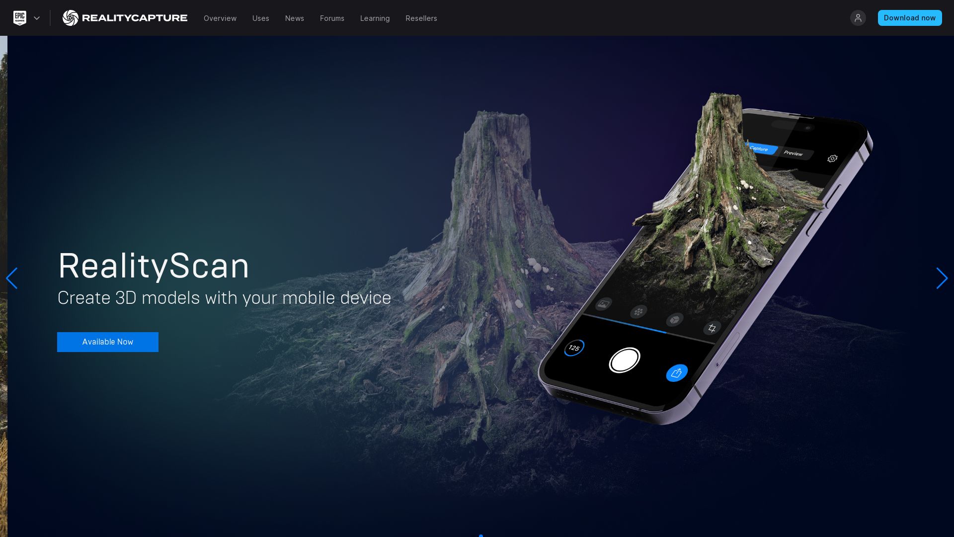
Reality Capture
Allow us to introduce Reality Capture (RC), a groundbreaking 3D computer graphics software created by Capturing Reality. This software’s usage spans across a wide range of sectors including gaming mechanics, mapping systems, and virtual reality applications.
Reality Capture Top Features
Seamless Texture and Mesh Generation: From unordered photos or laser scans, RC creates appalling 3D models without seams.
Outstanding Compatibility: For developers with extended requirements, RC comes with a command-line operation and an openly available Software Developer Kit (SDK).
Flexible Licensing: The software license allows up to 32 CPU cores and 3 GPU cards, with additional licenses available for higher configurations.
Expressive User Interface: With its intuitive user interface akin to video editing software, the program integrates effortlessly into their workflow.
Feature
Advantage
Georeferencing
Indispensable for surveying and mapping applications.
Texturing
Enhances the visualization features for VR, VFX, and gaming applications.
Polygon Mesh Calculation
Crucial for architecture planning and full body scanning.
Reality Capture Downsides
Limited NVIDIA Graphics Card Support: Supports only select GPUs, which restricts performance enhancement options.
License Limitations: Promo license is capped at 2500 photos and provides no technical support.
Unknown Enhancements: The results on hard surfaces may require further enhancement, revealing subtle imperfection in texture modelling.
Reality Capture Pricing
Pricing for Reality Capture is set at $10 for every 3,500 credits. Additionally, a free demo version is available without export possibilities, providing potential users with a chance to experience RC’s capabilities before purchase.
Reality Capture Use Cases
Use case 1: Architecture
Architects can gain immense benefits from RC. By visualizing the potential setting of future buildings or houses, architects can refine their design approach or craft a persuasive client presentation.
Use case 2: Game Development
Game developers, like DICE, find immense value in integrating Reality Capture into their workflow for creating lifelike gaming environments and characters, thanks to its seamless 3D model generation.
Use case 3: Mapping and Surveying
For mapping and surveying professionals, the georeferencing feature of RC proves invaluable. By generating geo-referenced maps from images and laser scans, precise data visualization becomes feasible.
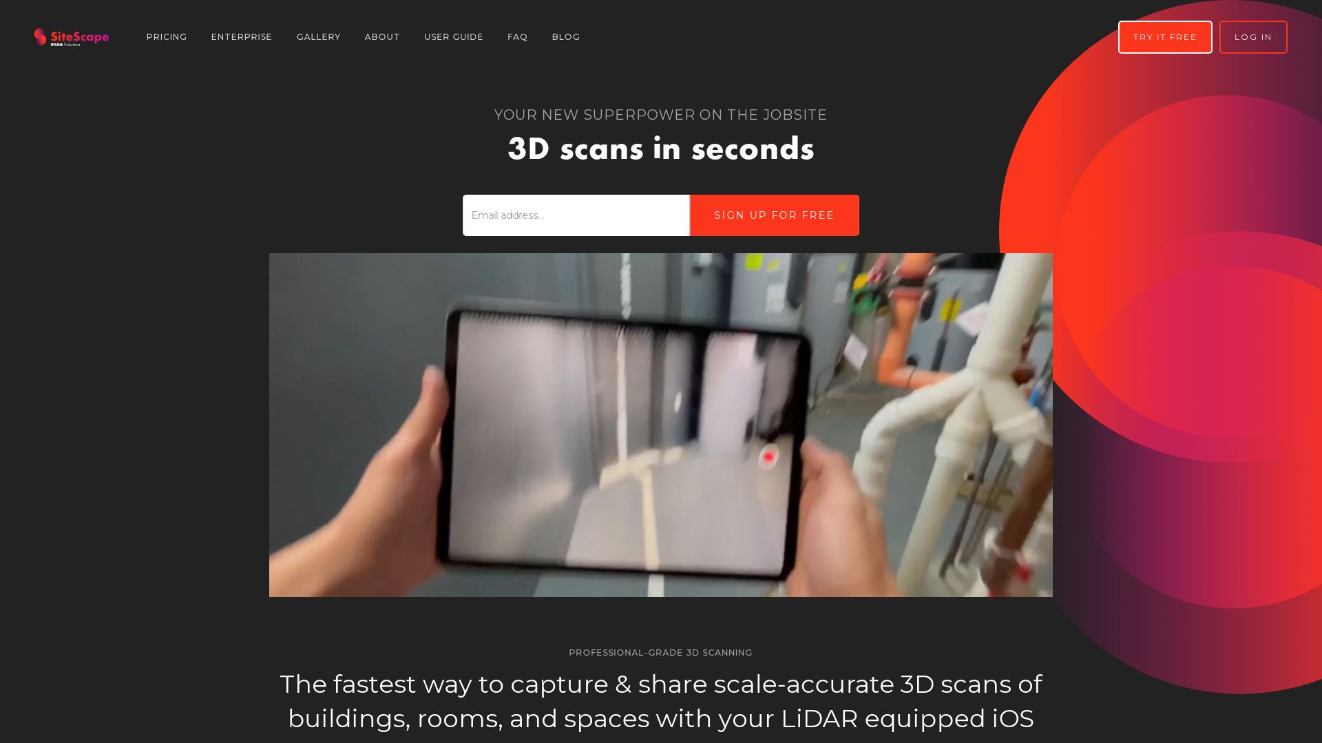
SiteScape
SiteScape, elevating the architecture, engineering, and construction sectors, utilizes the power of LiDAR 3D scanning technology. Its accuracy is cited to be within an inch, compatible with Apple’s iPad and iPhone Pro devices.
SiteScape Top Features
Accurate: The app allows capture of as-built and existing conditions, accurate to within an inch.
Flexible: It exports scanned datasets in .PLY or .E57 file formats and is compatible with CAD, BIM, and point cloud processing software.
Cloud Storage: Pro account holders can take advantage of unlimited cloud storage and sync for a seamless experience between devices.
Sharing Capabilities: Users can create shareable links to 3D models, enabling easy collaboration and commentary between colleagues.
Advanced Features: The Pro version includes features such as Model Reset, Translate, Reduce, and more via the open-source MeshLab tool.
Feature
Benefit
Two Scan Modes: Max Area and Max Detail
Fine-tuning scan types allows for customization based on the need of the object scanned
Integration with Sketchfab
This feature assists in easy sharing of scanned models
Scans can be stitched together
This offers greater accuracy for larger, complex structures or scenes
SiteScape Downsides
It’s only compatible with Apple’s high-end devices that have LiDAR technology.
The Pro version, despite being feature-rich, is a paid model that can amount to hefty annual or monthly costs.
The lack of immediate RCP integration may be a disadvantage for some users.
SiteScape Pricing
SiteScape offers a free version for basic functionality, with a Pro version available at a cost of $468 per year or $49 per month. The Pro version offers unlimited scans and numerous other features for increased functionality, such as cloud storage, model sharing options, and advanced tool access.
SiteScape Use Cases
Use Case 1
SiteScape proves handy in early-stage design. This tool provides a detailed preview, aiding architects and engineers to plan and troubleshoot.
Use Case 2
Users aiming to capture as-built conditions on site will find SiteScape’s detailed scanning invaluable. The ability to pinpoint measurements down to an inch ensures swift, accurate documentation.
Use Case 3
SiteScape is also effective for streamlining workflows by managing and organizing scanned models in its cloud storage for Pro users, as well as the option to annotate scanned models, and even share them for collaborative work.
PolyCam
The intersection of reality and virtuality, PolyCam, stands as a versatile 3D scanning app applicable across a multitude of platforms and devices, crafted by the technologists at PolyCam Inc. Blurring the boundary with innovative features such as LiDAR scanning, photogrammetry, and 360-degree panorama capture, it opens new creative avenues for users, be they contractors or 3D artists, architects, or filmmakers.
PolyCam Top Features
Robust 3D capture alongside versatile photo mode and LiDAR scanning.
360 Photos feature and immersive Augmented Reality (AR) viewing of 3D models.
Collaborative editing with comprehensive sharing features for user-centric content creation.
PolyCam for Teams: For unbridled collaboration with user management tools.
Support for drone mapping and a thriving community platform for sharing, exploring models.
AI-based 360 Capture system
Hosts the new/AI-based 360 Capture system
Room Mode
A valuable feature for effortlessly generating floor plans and furniture placement
Video making feature
A powerful tool with various modes for a tailored creative process
PolyCam Downsides
LiDAR feature limited to iPhone 12 Pro or higher and iOS devices.
Android version with photo mode still in anticipation.
Captures often appear black on mobile web browsers due to texture exceeding 4K.
PolyCam Pricing
Experience the myriad facets of PolyCam with its Pro edition priced at $14.99/month or $79.99/year, unlocking advanced export formats and unlimited Photo Mode captures.
PolyCam Use Cases
Use case 1: Architectural Design
Imagine architects harnessing the power of PolyCam’s precise measurement tools and the Room Mode, visualizing their concepts in active, interactive floorplans with inch-level accuracy.
Use case 2: Filmmaking & 3D Art
Visual effects artists and filmmakers can conjure cinematic realms with PolyCam’s 3D scanning and LiDAR capture, enabling the merge of their vision with reality.
Use case 3: Community Engagement
Users can share and explore 3D models on PolyCam’s community platform, fostering a unified environment for creative exchange and collaboration.
PolyCam Pro
Welcome to the realm of PolyCam Pro; a syncrotron of functionality for 3D scanning available on Android, iOS, and web platforms. This application is designed to unleash the magic of LiDAR scanning and photogrammetry right on your mobile devices, DSLR cameras, or drones. Ignite your world with a fresh perspective!
PolyCam Pro Top Features
LiDAR Scanning: Irresistibly precise 3D rendering of your surroundings right on your pro iOS devices.
Free LiDAR Scanning: An exquisite pipeline for contractors, interior designers, architects and more.
360 Photos Mode: Captures breathtaking photo spheres and 360-skybox images.
Drone Mapping: An innovative touch to drone footage, transforming it into 3D models.
Photo Mode: Turns every iPhone and Android into a photogrammetry pipeline station.
Teams Function: A haven for content and user management in collaborative 3D capture library.
Feature
Details
Free 3D Models
Instantly usable 3D artwork in the Explore feed.
AR Videos Creation
Revamp your E-commerce with eye-catching augmented reality videos.
Share & Collaborate Globally
Bridging borders by sharing captures for global collaboration.
PolyCam Pro Limitations
Watermark-free exports are exclusive to paid Pro subscribers.
Android version anticipating launch of Photo Mode.
Higher-end benefits like advanced collaborative tracking, scanning, meshing, SLAM are reliant on separate software, Roux.
PolyCam Pro Pricing
Redefine your technology experiences. PolyCam Pro offers a free version, while the burst of premium features comes with a commitment of $39.99 per year.
PolyCam Pro Use Cases
Use case 1 – Architecture
From floor plans to architectural renderings, PolyCam Pro serves as a wonderful tool for architects. Precise capture of distances between walls, windows, doors – it’s about bridging visions to realities.
Use case 2 – Filmmaking
Ever thought of breathing life into movie scenes? Impart an authentic feel to VFX and filmmaking, being a part of the professional 3D workflow.
Use case 3 – Home Improvement
Reshaping your world, made easy! PolyCam Pro simplifies floor plan creation and furniture placements for home improvements. Welcome to the revolution of renovation!
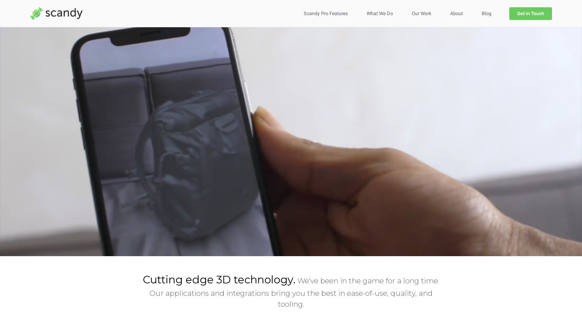
Scandy Pro
Introducing Scandy Pro, an adept application by Scandy Inc, dedicated to the intricacies of 3D scanning. Launched in 2014, Scandy Pro swiftly bolted into prominence for its on-device processing, rendering, and storage prowess, ensuring a celebration of privacy and a decluttered cloud.
Scandy Pro Top Features
Compatibility with iPhone X through14 Pro, and iPad Pros (2018 editions or later), connecting the dots of digital reach.
Offers unparalleled scan exports in miscellaneous formats (.stl, .ply, .obj, .glb, .usdz) and scales (m, cm, mm, in).
Promotes privacy with exclusive on-device 3D scan data processing and storage.
Offers substantial editing capabilities, allowing users to tweak and fine-tune scans.
Employs a PMD pico flexx ToF sensor, capturing real-time 3D scans brimming with precision.
Compatible with multiple programming languages: C++, Java, Unity.
Feature
Benefit
All rendering occurs on-device
No cloud registration, storage need; ensuring privacy
Bug fix for red screen
Smooth, error-free scanning
Updates to simplify processes
Ease of use, optimized user experience
Scandy Pro Limitations
Scandy Pro is GPU intensive, ushering in some slowdown after multiple successive scans.
No cloud storage or backup capacity, consequently, data deleted is data lost.
Scandy Pro Pricing
Fair in its economic framework, Scandy Pro’s pricing packages oscillate. Offering $1.99/week, $5.99/month, or a $49.99/year plan for unlimited scans, it encapsulates economical fluidity.
Scandy Pro Use Cases
Use case 1
A favorite among the iOS user base, Scandy Pro is an excellent tool for hobbyists and professionals in venues where 3D modelling and object replication are central. Its comprehensive exporting capabilities provide a seamless workflow for subsequent formatting and editing.
Use case 2
Designed for app developers, Scandy Pro offers compatibility with mainstream programming languages, an asset for those keen to integrate exact 3D scan data into custom software solutions.
Use case 3
A profound ally for educators in areas of design and technology, Scandy Pro facilitates interactive and immersive teaching strategies, enabling students to acquire, examine, and manipulate 3D scans with precision.
Kiri
A limelight in the domain of 3D scanning and processing, KIRI Engine embarks on a promising technological journey leveraging the supremacy of photogrammetry technology.
Top Kiri Features
Pioneering application of Neural Radiance Fields technology enabling 3D digitization of all environments and objects.
Use of AI to create clean 3D models by estimating featureless parts.
Offering a free 3D scanner app compatible with Android and iOS, featuring the powerhouse of AI and photogrammetry.
Feature
Description
Photogrammetry Application
Crafts lifelike recreation of object’s exterior for game graphics and digital art.
Free vs. Premium Versions
Free version offers up to 70 photos per scan, while Premium increases this limit to 200.
Kiri’s Server Role
Processing power resides on Kiri’s servers, negating the need for a high-powered PC.
Kiri Limitations
Access to servers requires app signup which could deter some potential users.
Scan export procedure may inconvenience some users as it requires copying download link and sending to oneself.
Kiri Pricing
In addition to its free version, KIRI offers a Premium subscription granting enhanced features like faster server speeds, unlimited exports, and more photos per scan.
Kiri Use Cases
Use case 1 – Professional 3D Scanning
Kiri, with its superior 3D scanning capabilities, is an asset for domains like mechanical engineering.
Use case 2 – Game Graphics and Digital Art
Thanks to its photogrammetry technology’s lifelike recreation of object’s exterior, Kiri is a choicest tool for game developers and digital artists.
Use case 3 – Community Interaction
Kiri ensures community involvement by operating a dedicated Discord server, allowing users to express feedback and receive updates.
WiDAR
Developed by physicist Fabio da Silva, WiDAR is an innovative spatial imaging technology driven by microsecond data. It utilizes multiple transmitters and scenarios, generating stunning 4096-pixel images with just 12 antennas.
WiDAR Top Features
Uses 12 transmitting antennas for detailed imaging
Capable of detecting humans and objects even behind walls
Operates effectively through various mediums like concrete, drywall, wood, and glass
Records patterns and correlations in an impressive 1.5 billion samples per second
Supports a wide frequency range from 200 megahertz to 10 gigahertz
Feature
Relevance
Transient rendering computational method
Originally utilized in machine learning, it contributes significantly to WiDAR’s excellent performance
Reciprocal radar system
Multiple transmitters and a single receiver ensure optimal capture and data processing
3D production app for iOS
Enables scanning and editing of 3D models on iPhone and iPad with LiDAR sensor
WiDAR Limitations
Under development by a small team, hence, could face challenges scaling up
Compatibility restricted to iPhone 8 Plus onwards and iPads (3rd gen onwards)
Current potential range limits to several kilometers
WiDAR Use Cases
Use Case 1: Indoor Localization
WiDAR can provide accurate indoor localization using existing Wi-Fi signals, benefiting logistics and warehouse management.
Use Case 2: Vital-sign Monitoring
The technology’s ability to detect patterns and correlations at high speed makes it a potential option for real-time vital-sign monitoring in healthcare facilities.
Use Case 3: 3D Mapping for Firefighters
Firefighters can leverage WiDAR to navigate complex, potentially obscured environments by 3D scanning and map making.
Metascan
Operated by Metascan.ai, Metascan is a state-of-the-art app innovating the boundaries of 3D and LiDAR scanning. Designed to work on any iPhone or iPad released in 2015 or later, it requires iOS 15 and above. With its cutting-edge technology, it facilitates a seamless blend of the physical and digital realms.
Metascan Top Features
Compatibility with all iPhone or iPad devices from 2015.
Supports a broad spectrum of file formats such as USDZ, OBJ, glTF, FBX, and STL.
Validates files using the advanced OPSWAT’s multi-scanning tech.
Provides an in-depth report of scanned files including their size, type, and MD5 hash value.
Mode
Processing
LiDAR Mode
On-device processing
Photo Mode
Photogrammetry servers
Metascan Limitations
Metascan is not designed to replace conventional antivirus software. Rather, it operates in conjunction with them.
Its efficacy depends upon an active internet connection.
It does not support scanning of website or blog URLs.
Metascan Pricing
Metascan.ai offers a Pro subscription that unlocks higher detail scans, access to all supported file formats, and access to Metascan Web.
Metascan Use Cases
Use case 1: 3D Modelling
For artists, engineers, and designers needing to create detailed 3D models, Metascan provides high-quality scans directly from their iOS devices.
Use case 2: File Security
For businesses concerned about file security, Metascan assess files with an array of 40 anti-virus/anti-malware engines, offering robust malware detection.
Use case 3: Privacy
For privacy-conscious users, Metascan’s policy of deleting photos after model processing ensures user data is not retained unnecessarily.
Luma
Heralded since its launch in December 2016, Luma, a professional video editing app, endowed with advanced features compels the tech cognoscenti to compare it with powerful contenders such as Apple’s iMovie. Endowed specifically for iPhone and iPad users, Luma integrates seamlessly with Apollo audio interfaces, and leaves a mark of unmatched sophistication in spatial imaging.
Luma’s Conspicuous Features
Outstanding versatility in the form of a fully operational audio mixer and vertical video support.
LumaFusion 3.0’s jewels: CoreMelt’s video stabilization, External Drive Editing, and 3rd Party Audio Unit Support.
Capability for producing exemplary 4k content.
Luma-1: an advanced LM-1 drum computer replica equipped with custom sound loading and MIDI.
Resizable UI and adjustable features for optimized editing experience.
Feature
Details
Video Key-Framing
Allows for precise control over animation and effects within videos.
Support for PAL
Renders 25 frames per second upon export, providing a smooth video playback experience.
Audio Mixing
Offers a remarkable multi-track mixing experience.
Luma’s Limitations
Lacks the support for split-screen or speed ramping unlike iMovie.
Luma Pricing
Available at a cost of $30 USD, it promises to be a valuable investment for tech enthusiasts and professionals alike.
Luma Use Cases
Videographers
Equips videographers with essential tools for editing and audio mixing, thereby perfecting their craft in producing professional-grade content.
Music Producers
For music producers, the capability of Luma-1 to support custom sound loading and MIDI proves instrumental in crafting distinctive auditory experiences.
User Interface Designers
User Interface Designers could greatly benefit from the app’s resizable UI and adjustable features, creating a harmonious blend of functional design and video content.
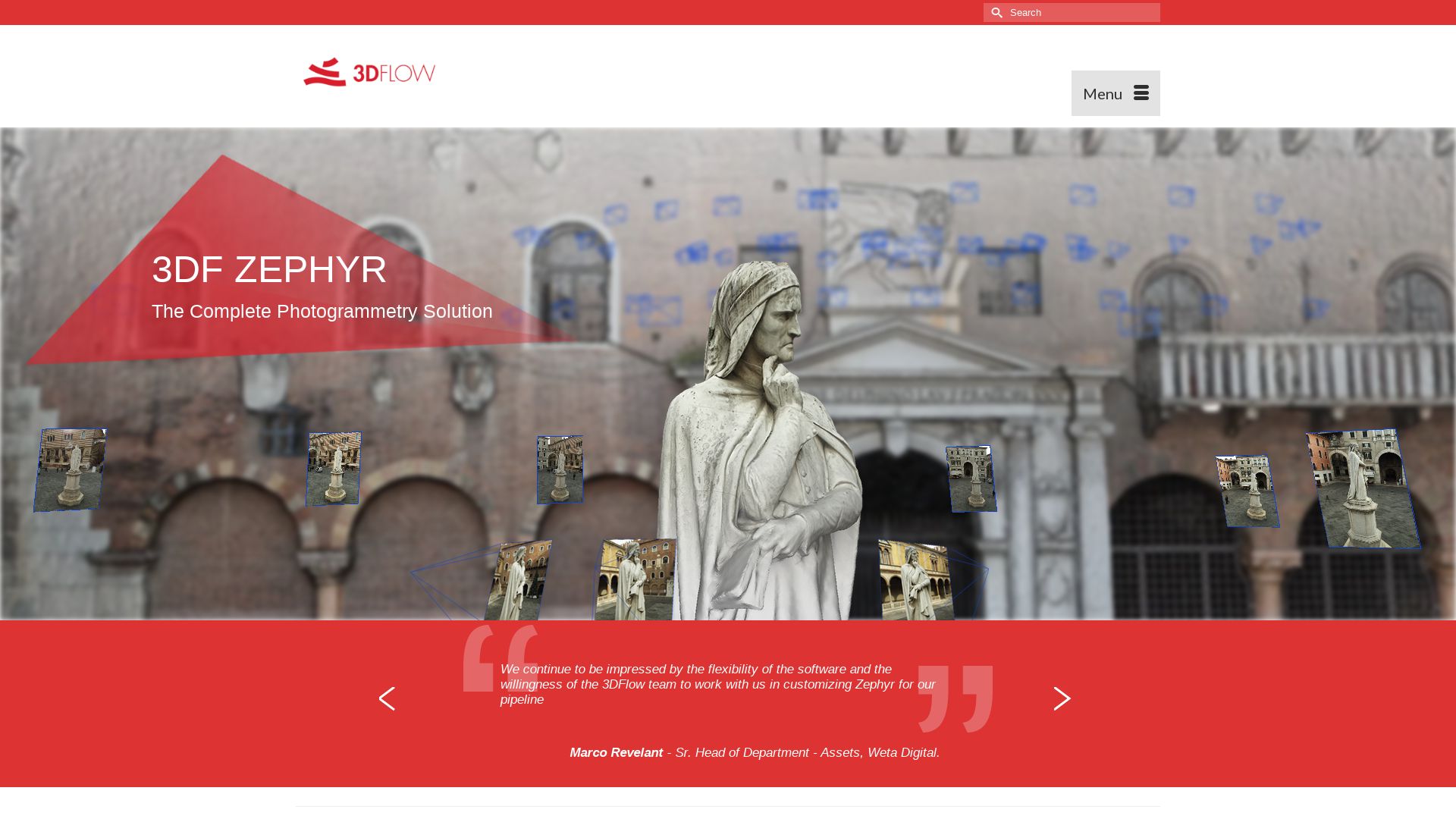
3DF Zephyr
Unleash the maverick in tech with 3DF Zephyr, a leading-edge photogrammetry software by 3Dflow. Automating 3D model reconstruction from photos, 3DF Zephyr is a rebel in the spatial imaging cosmos.
3DF Zephyr Top Features
Packs a full photogrammetry pipeline: Camera orientation to texture generation.
Leverages multi-GPU support for blazing-fast performance.
Generates true orthophotos, Digital Terrain, and Surface models.
Offers CAD drawing, section generation, and path contouring.
Exports data in viewer’s file format of choice.
Allows scaling via ground control points and laser scanning integration.
Supports speedier capturing process with video loading, especially useful for motion capture.
Feature
Details
Versatile Usage
Macgyver of spatial imaging: Combines photogrammetry, laser scans in one application.
Auto-masking
Featured in Lite and Pro versions, it saves you the repetitive strain of manual masking.
3DF Zephyr Limitations
Windows only: Linux fans will have to find a workaround using Wine.
Limited toolset in the free version: Only 50 photos limit, single NVIDIA GPU support, and restricted exporting, editing tools.
3DF Zephyr Pricing
Not a freebie, but you get your bang for the buck. Four versions on offer: Free, Lite (€199.00 + VAT), Pro (€4200.00 + VAT), and Aerial. For those not keen on perpetual license, the Pro version is also available on a monthly subscription at €250.00 + VAT. And the kicker? No hidden fees.
3DF Zephyr Use Cases
Use case 1 – Hobbyist Photographers
Shoot, upload, relax. 3DF Zephyr has your back–transfroming photos into high-quality 3D models. No PhD in photogrammetry required.
Use case 2 – Prosumer Videographers
YouTube stars and aspiring JJ Abrams, perk up! 3DF Zephyr is an affordable way to get Hollywood-esque effects. Turn videos into 3D models–Wedding videos won’t be the same again.
Use case 3 – Laser Scan Professionals
Laser scanners, meet your new confidante. With its ability to integrate with laser scanning and boasting features like coded target detection and printing, 3DF Zephyr is perfect for serious pros.
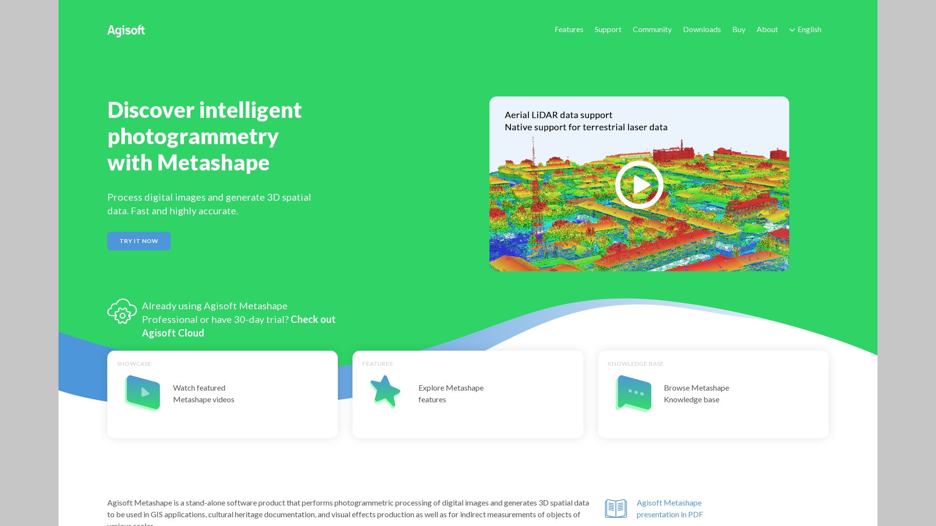
Metashape
Enter the world of Metashape by Agisoft, a stellar photogrammetry application that transforms images into intricately detailed 2D or 3D models. Renowned in a variety of spheres, including GIS, cultural heritage documentation, and VFX production, Metashape offers a versatile, high-quality solution to all your spatial imaging needs.
Metashape Top Features
Capability to build detailed 3D models from depth maps
Variety of export formats including .obj, .pdf, and .stl
Compatibility with various applications like Meshlab, Cloudcompare, Sketchfab
Speedy processing times – now twice as fast as previous versions
Diverse texture mapping options – Generic, Adaptive Orthophoto, Orthophoto, and more
Single Camera Mode
Work with traditional 3D modelling
Cloud dataset processing
Convenient and direct purchases of cloud computing time from software
Workflow Guidance
Step-by-step process handholding via workflow dropdown
Metashape Limitations
Processing times can be lengthy with high accuracy jobs taking from 9 to 19+ hours
Image alignment best results require markers
Metashape Pricing
Metashape offers a Professional version at the cost of $3499 and a more affordable Standard version at $179, both for perpetual licenses. They also cater to the learning community, availing an educational discount at only $59.
Metashape Use Cases
VFX Production
Visual effects creatives will find Metashape invaluable in creating realistic, detailed 3D models from images. The processing speed and myriad texture mapping options make it a top pick for high-end project output.
Cultural Heritage Documentation
Historians and archaeologists documenting cultural heritage can use Metashape for precise measurements and 3D renderings of artifacts, helping preserve humanity’s cultural legacy in a digital form.
GIS
Geographic Information System (GIS) specialists can rely on Metashape for creating topologically precise 3D maps for terrain modeling, urban planning or environment assessment.
ContextCapture
ContextCapture, developed by Bentley Systems, is a cutting-edge software capable of generating dynamic and detailed 3D models using photographs or LiDAR point clouds. An important part of Bentley’s Reality Modeling WorkSuite, ContextCapture is designed with scalability in mind, effectively processing datasets of immense size, from small scale infrastructure projects to detailed city models.
ContextCapture Top Features
High-Quality Meshes : Produces high-fidelity 3D meshes, essential for various infrastructure projects.
Fast and Automated Processing: Offers the fastest processing available today for reality mesh generation.
Integration with GIS Formats: Seamlessly integrates with all GIS formats, improving workflow efficiency.
Machine-Learning: ContextCapture uses AI to detect, classify, and locate reality data, further enhancing the precision of 3D models.
Cost-Effective: Compared to traditional methods, this software generates 3D models at a significantly lower cost.
Feature
Benefit
Support within Bentley’s MicroStation CONNECT Edition
Ensures interoperability and collaboration across different software platforms and enhances the workflow.
Cloud-Based Service
Allows for large scale processing projects leveraging GPU computing, multi-core computing, and advanced bundle block adjustment.
ContextCapture Modeler
It offers the highest fidelity desktop capabilities for creating digital context
ContextCapture Limitations
Lack of disclosed pricing details: The exact cost of ContextCapture software isn’t publically available, which might strain budget planning.
The complexity of features and functionality might require a steep learning curve especially for non-technical users.
ContextCapture Use Cases
Use case 1: Infrastructure Development and Urban Planning
ContextCapture is used extensively in the design, planning, and construction of new infrastructure. Urban planners and civil engineers rely on its high-fidelity 3D models to inform their designs and decision making processes.
Use case 2: Asset Management and Facility Operations
Asset managers and facility operators use ContextCapture to efficiently monitor and manage their assets. Its precise reality meshes provide valuable data for the effective management and maintenance of physical assets.
Use case 3: Cultural Heritage and Tourism
Cultural heritage specialists use ContextCapture for the sensitive preservation of historical sites or artifacts. It provides detailed and accurate 3D models, invaluable for restoration projects or virtual tourism experiences.
Patrick Daugherty
Content writer @ Aircada. Merging AR expertise with a love for late-night gaming sessions.